The map below uses the same colour coding as before with the blue line being the plan and the red line as recorded by my Spot tracker. It is clear here that the red line is only an approximate representation of the detail of my footsteps. Although it shows my walk to the chip shop and the later return to the supermarket in Braemar, the 15 or 30 minute gap between beacons often makes the red line cut corners and runs some distance from the track.
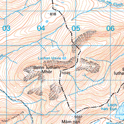

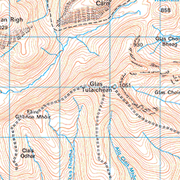

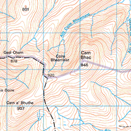


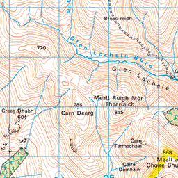


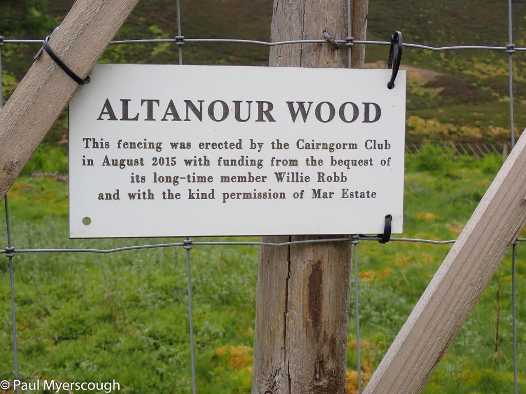
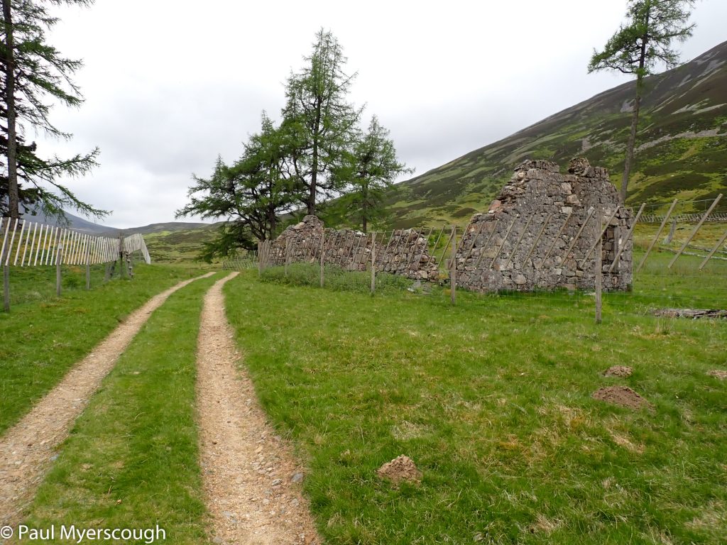
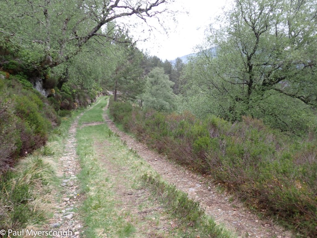
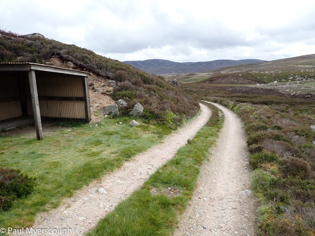
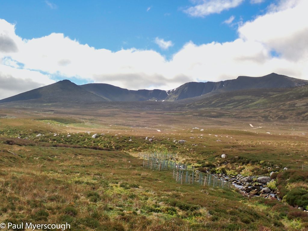
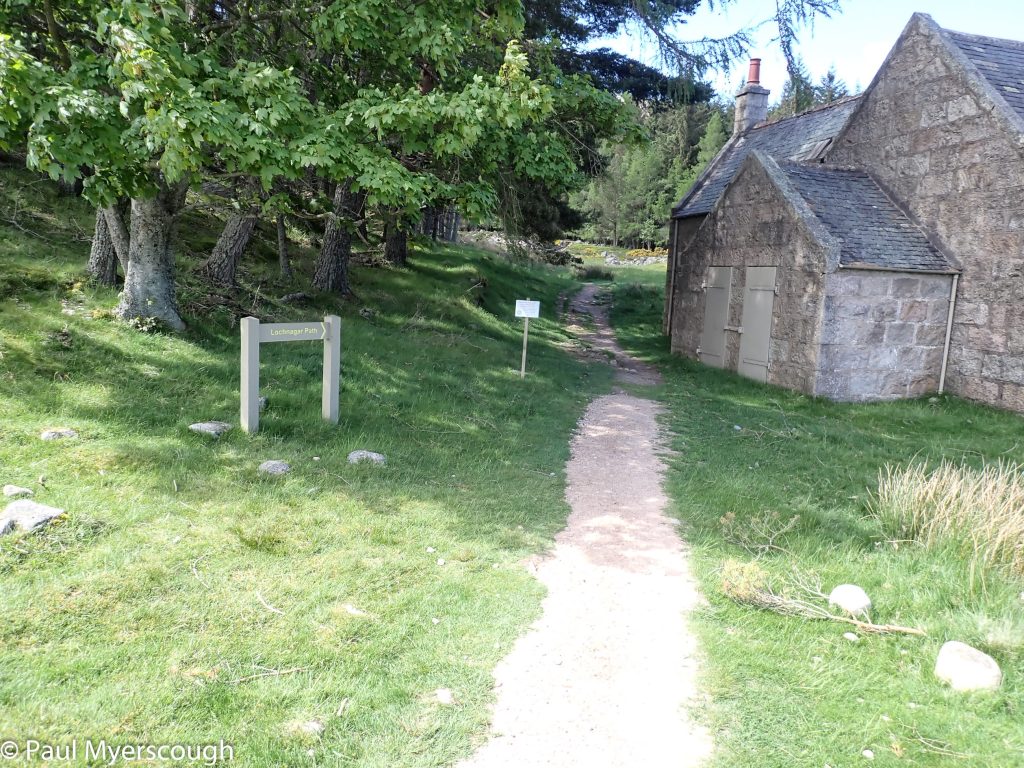
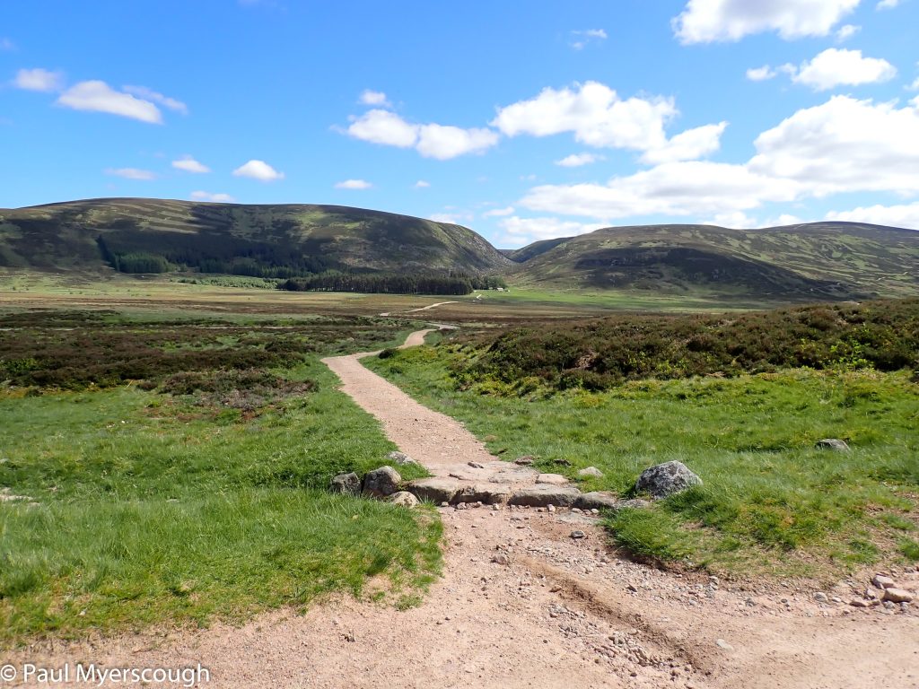
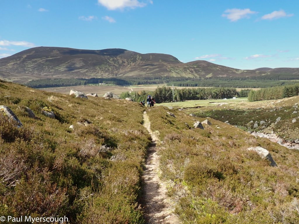
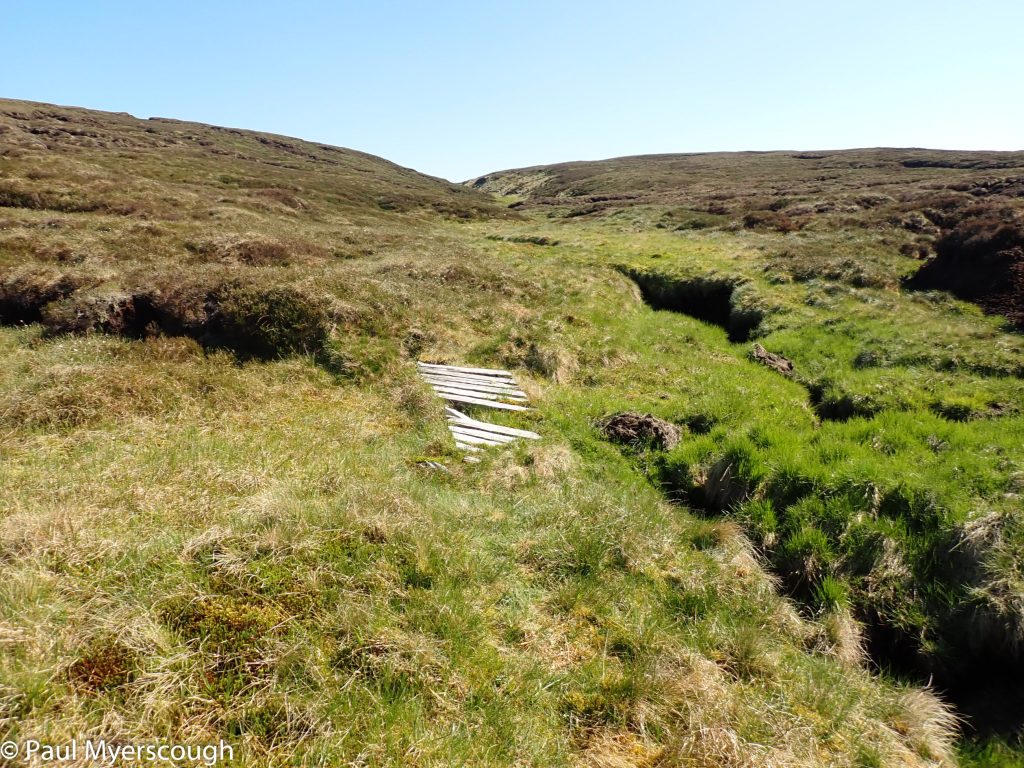
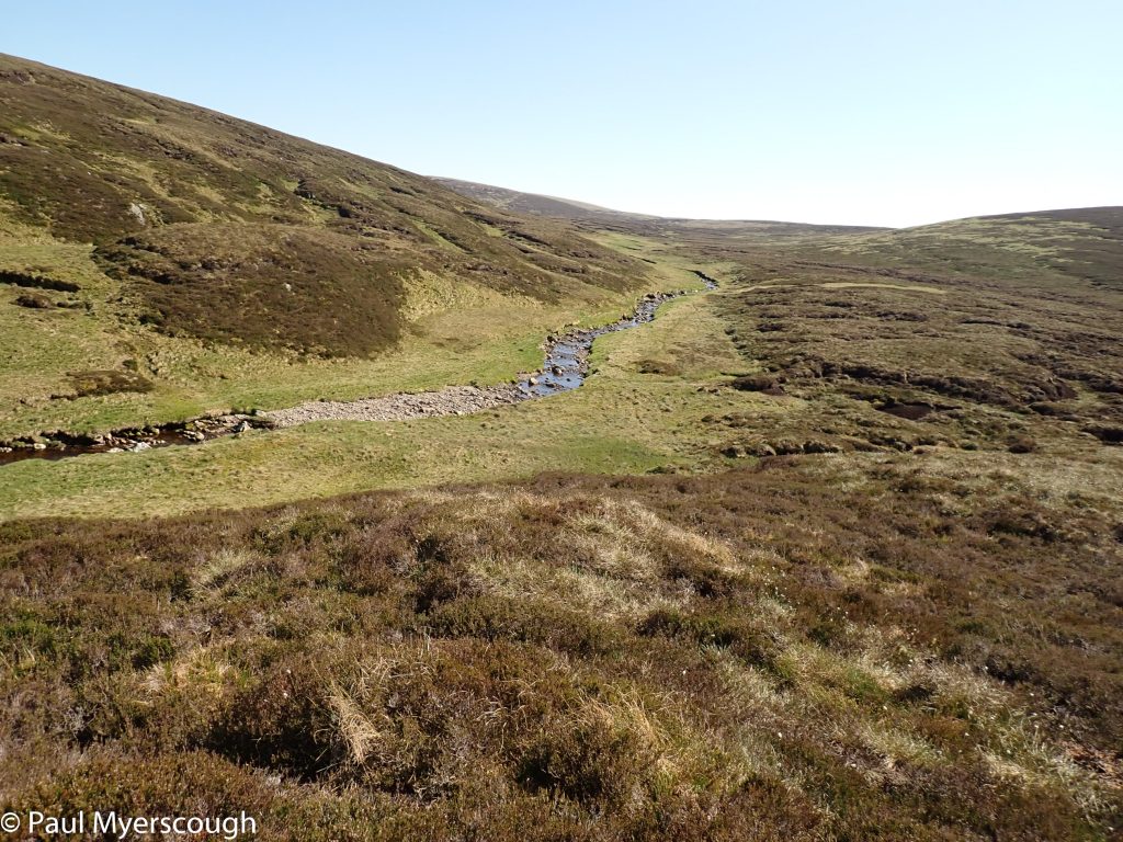
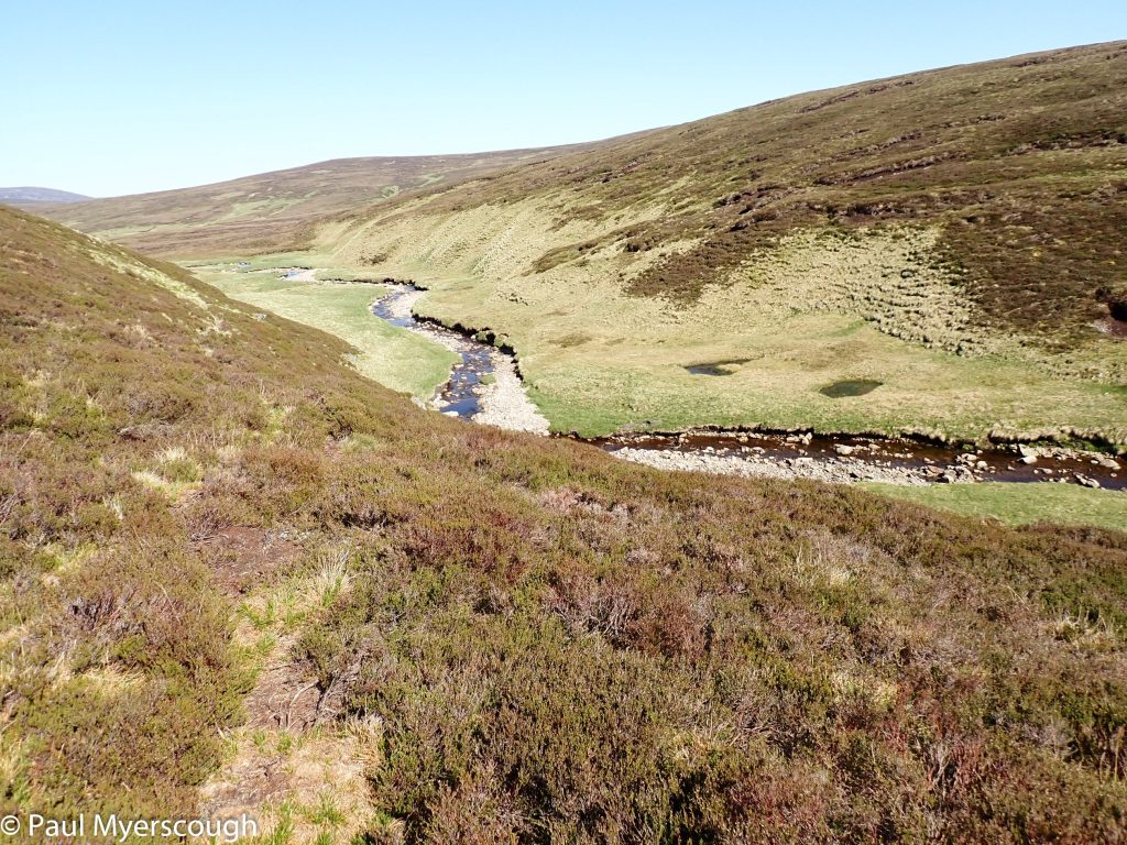
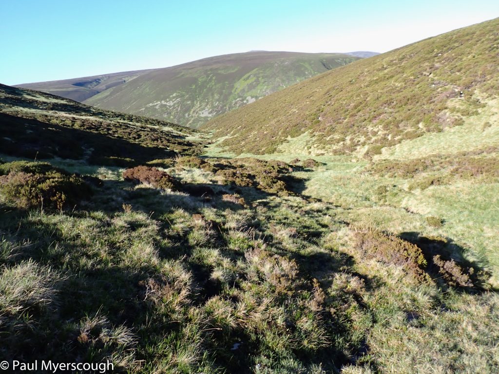
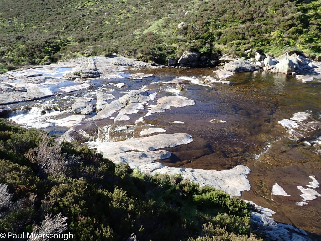
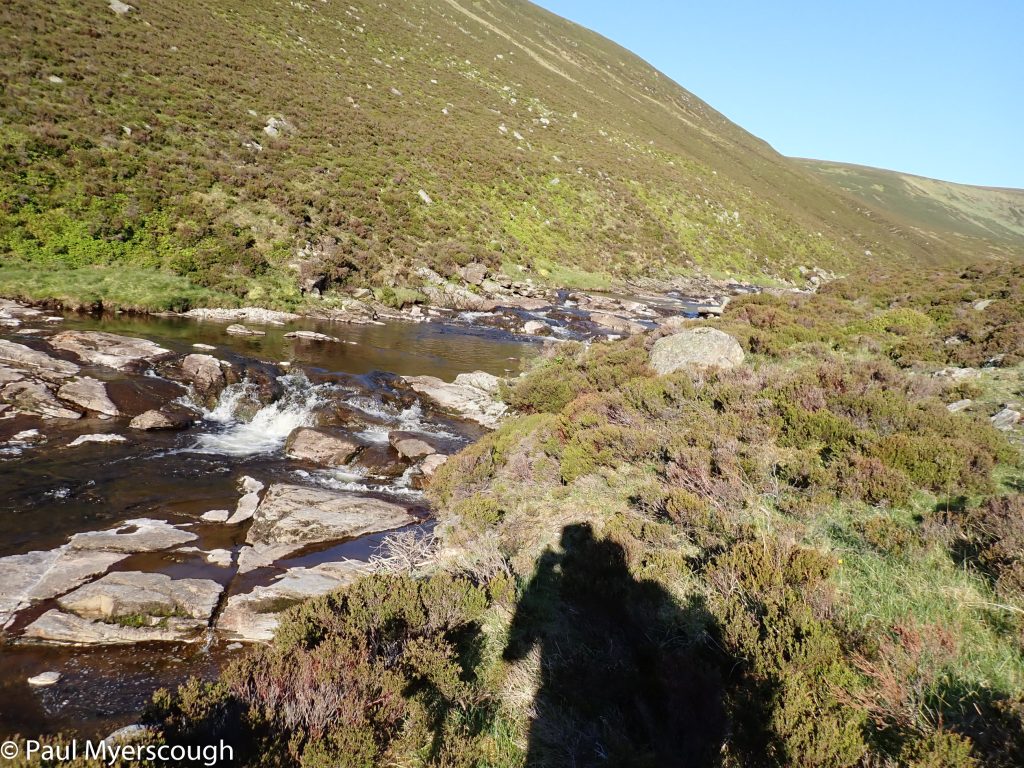
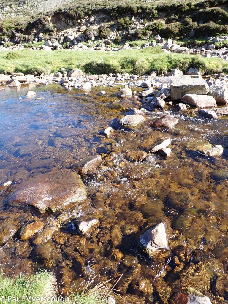
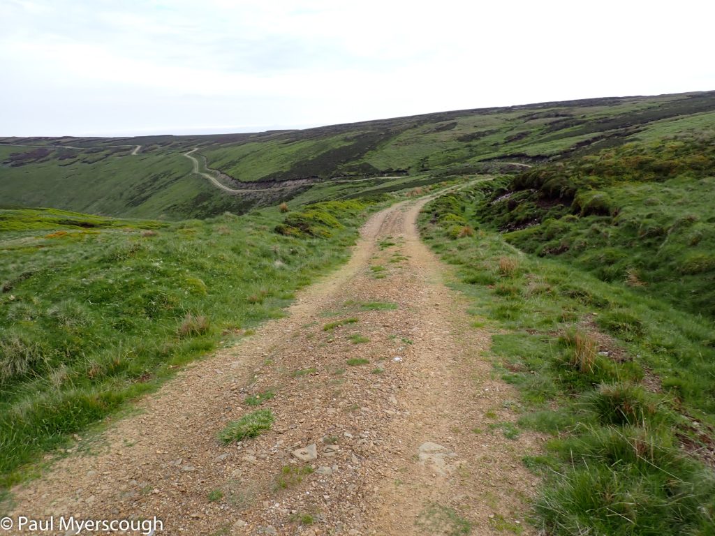
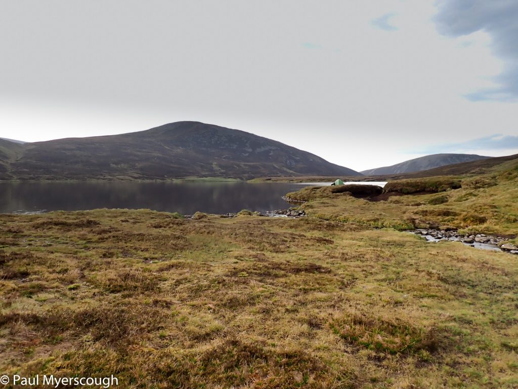
Loch nan Eun is at the top of several glens. Heading north-ish Glen Ey leads to Inverey, on the road to Braemar. The higher reaches of the glen are wild and would have made ideal camping, but from Altanour it is dominated by a well-maintained track. Early weekend walkers and cyclers are heading for the hills.
It is hard not to think ahead – will the one shop in Braemar actually be open as planned after its refurbishment or will there be further delays? If it is closed will I get what I need in the outdoor shop? Will the chippie be open? Once Braemar is in sight it feels like the most important part of the TGO is over.
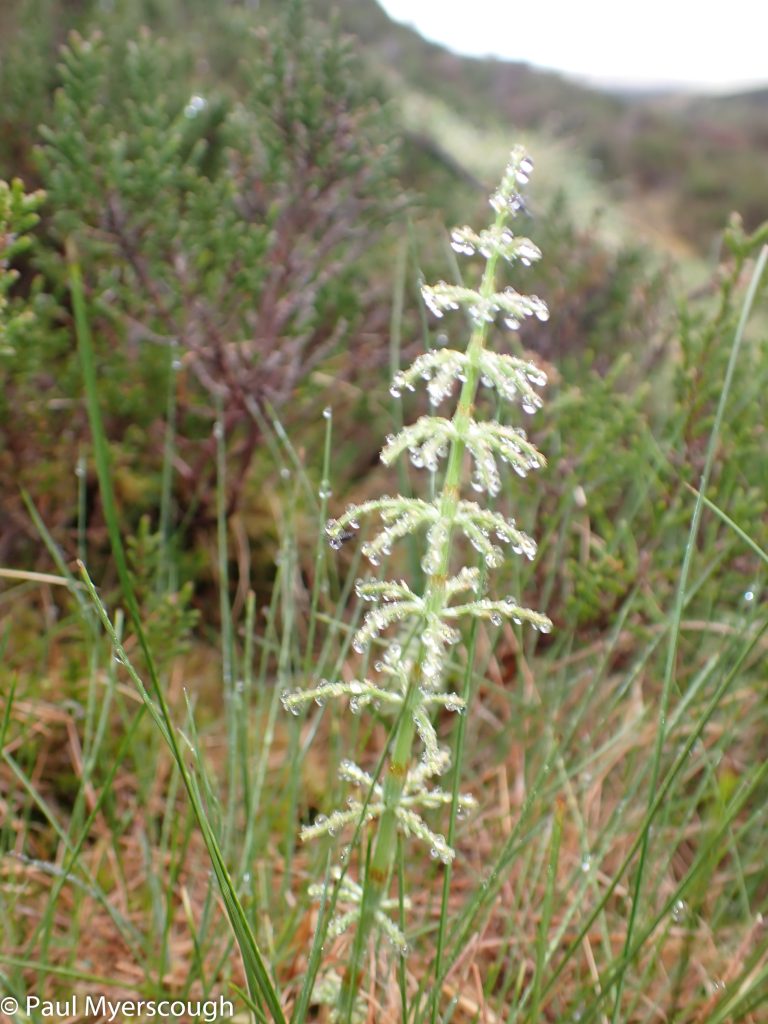
Horsetails looks strange in this environment
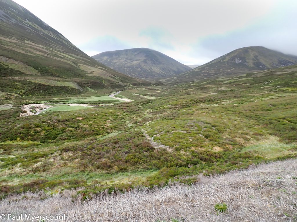
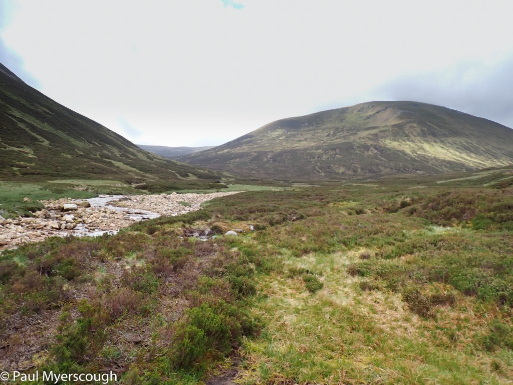
Upper reaches of Glen Ey
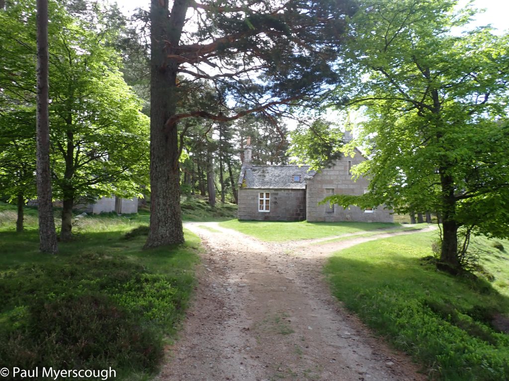
Altanour Lodge
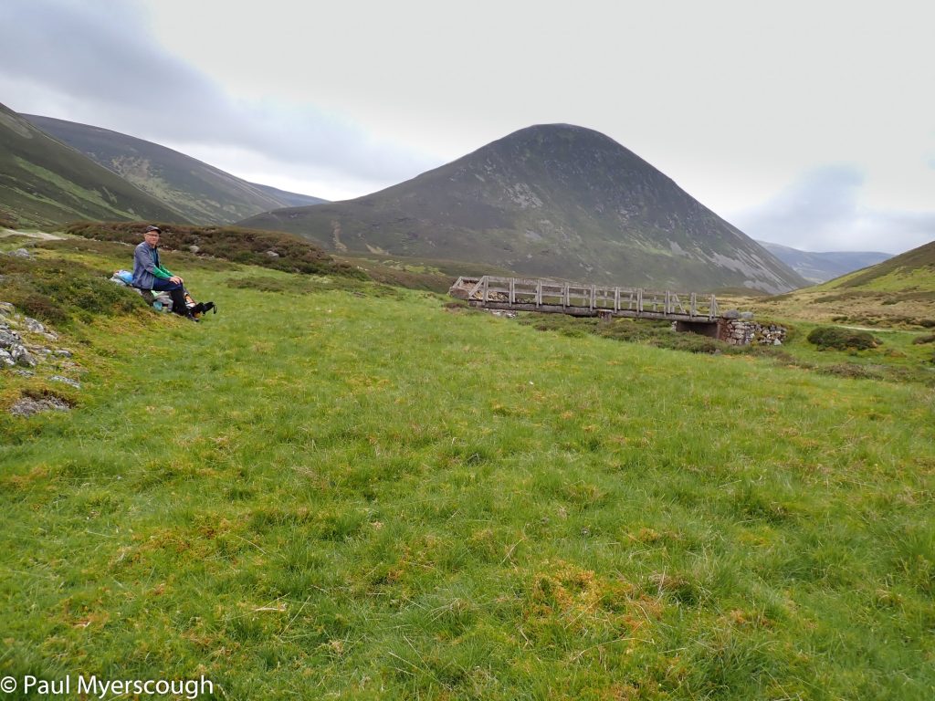
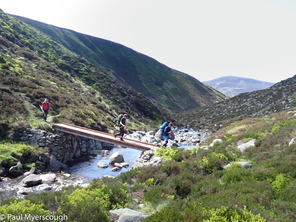
A cuppa with Creag an Fhuachais and bridge over Glen Ey
Woods near Tomintoul Braemar
The walk down to Braemar is straight forward. Minimising tarmac and I find a track through the woods parallel to the road that passes Victoria Bridge, and then my usual route through the woods and nature reserve towards Tomintoul from where Braemar is reached via the duckpond.
There are not many TGOers in evidence; it is Sunday and most are probably already on the way to their next stop. The Fife Arms looks unbelievable posh! Chaps in knickerbockers carrying luggage to and fro for the guests. Gone are days of a cheap last minute room here.
I find Jason at the chip shop – he was the one that walked a mile in vain searching for chips at Dalwhinnie. The nearby outdoor shop was good for a couple freeze dried meals, then I headed back to the supermarket which thankfully had reopened the day before. On the bench opposite I meet another TGOer who planned a bus trip to Ballater for the night – his favourite stopping place – only to find that the bus does not exist any more. It has been replaced by a community ride scheme. He is waiting for a volunteer to pick him up. He will get dropped back here in the morning.
I head off through the town and into the woods leading to Lion’s Face. On the other side there is a new-ish path running alongside the A93 road which I follow, and then I have a short-cut that will save me going as far as Invercauld Bridge. The route goes through some cleared ground and southwards up a hill, then eastwards to join a track in the Balmoral estate. This is difficult! The ground is sloping, rutted, with fallen trees as well as new plantings, and streams. There is a well-made fence to cross, and the track is not visible. The two kilometre saved would have been less exhausting.
Glen Beg lodge on royal estate
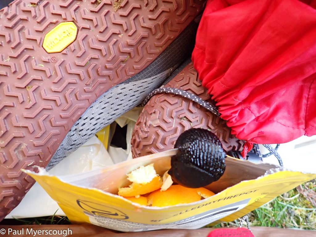
Big slugs busy on Balmoral estate
Glen Beg Balmoral estate
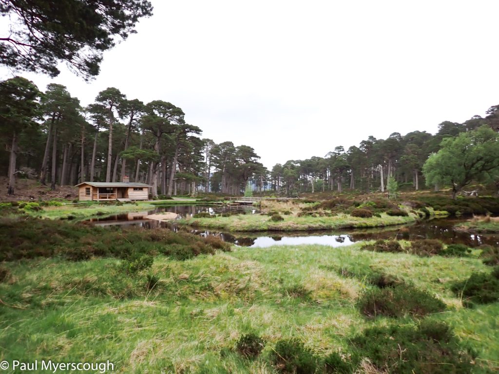
The track skirts the west edge of the estate and has fine views over the forest. It is typical plantation ground though, with ruts and fallen trees so not much opportunity for camping. My notion was to stop near a building in Glen Beg: the satellite pictures showed some level ground nearby. This turned out to be large wooden pavilion with a veranda and some clear space. It overlooked a small lake formed by damming the burn. There’s clear ground here but the only dry level space seemed to be right next to the building.
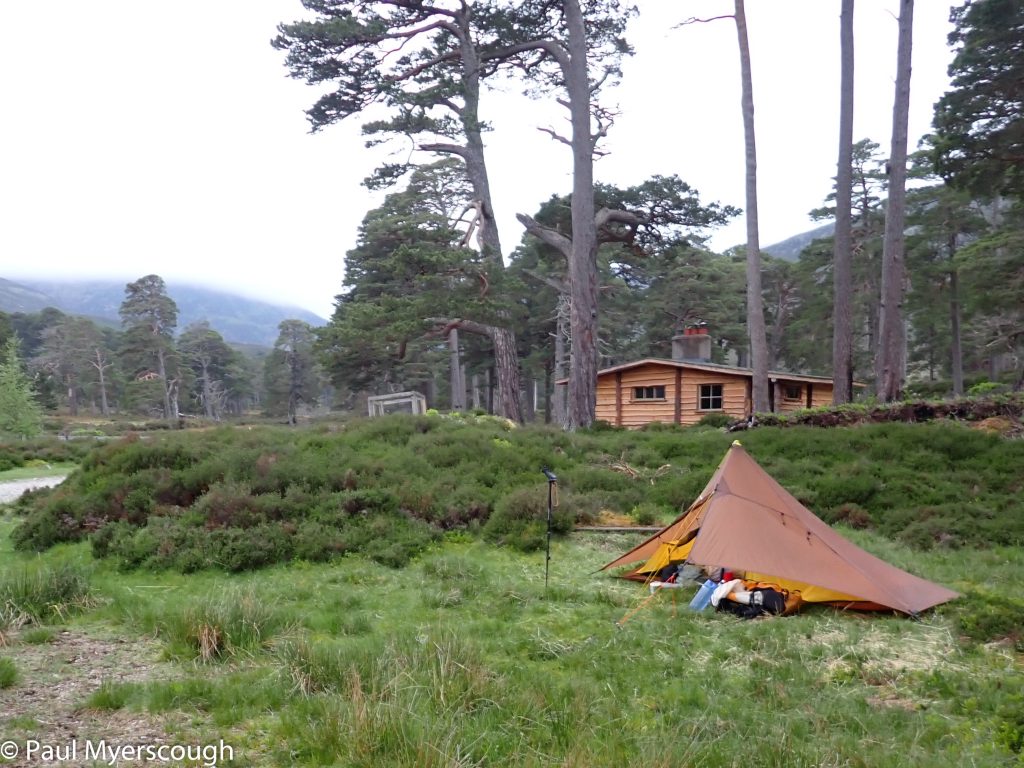
On my very first TGO I had proposed coming here and I was warned-off the route by Challenge Control – they advised that I should only camp by the bothy at Gelder Shiel. Since then I have been discrete with my camp locations on the Balmoral Estate. My vetter had warned that if the building was occupied I would have to carry on walking. Although empty, this still presented a dilemma! Someone might arrive at any time of the evening or morning. I eventually set-up in a nearby parking bay seemingly used for tethering the horses.
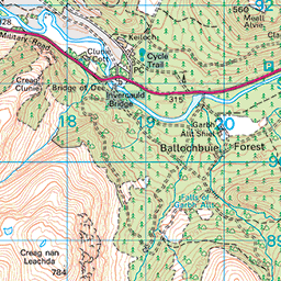
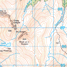


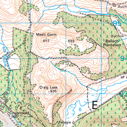


There was rain in the night and I woke to low cloud:- a clear incentive to use my FWA rather than going over Lochnagar once more.
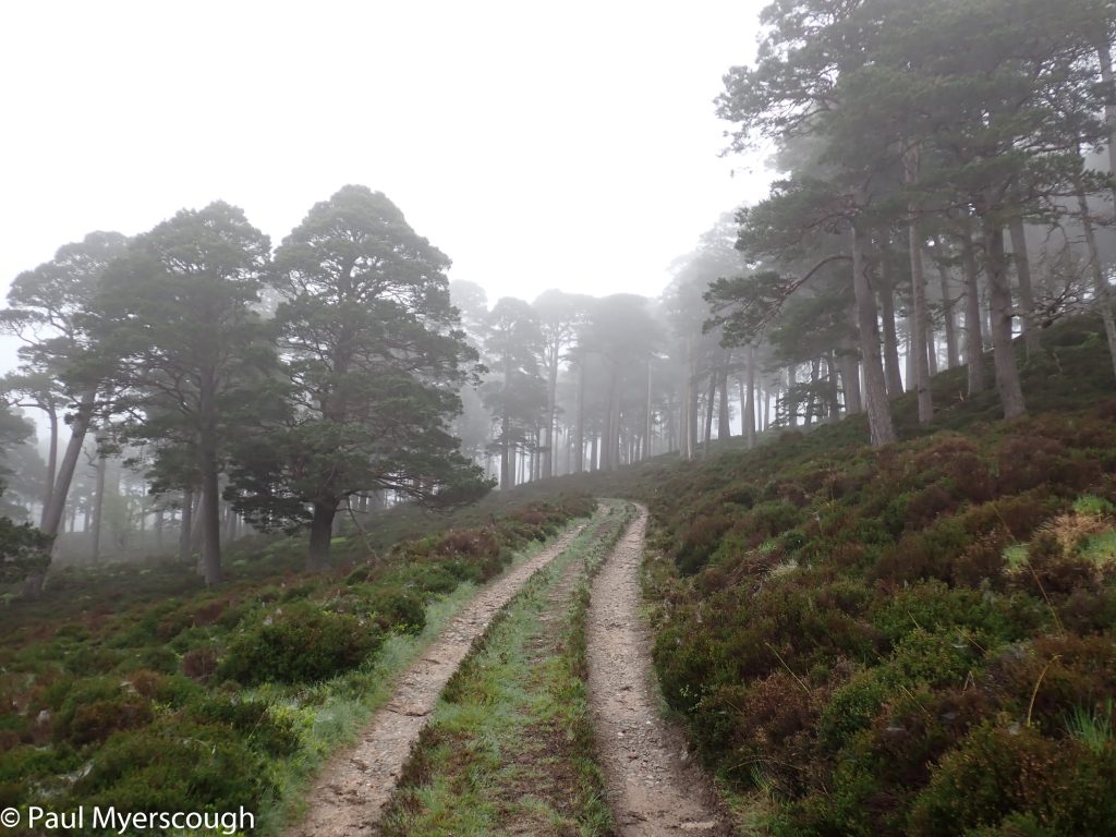
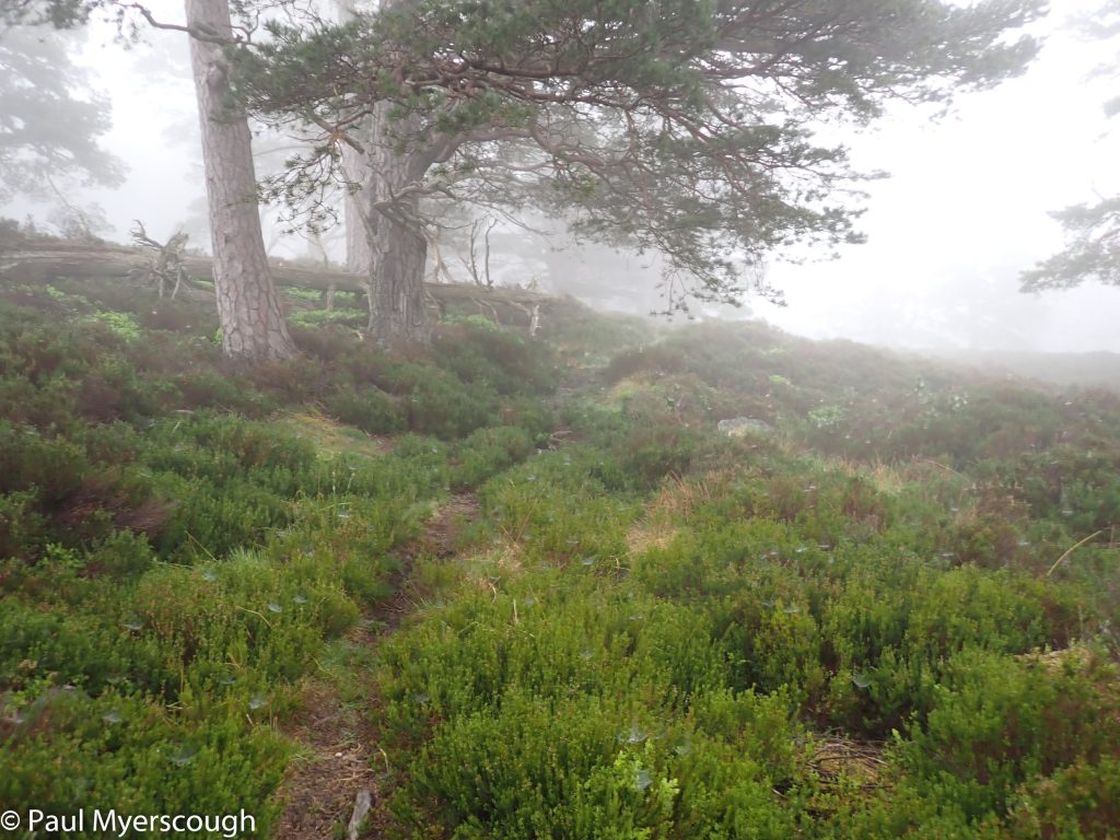
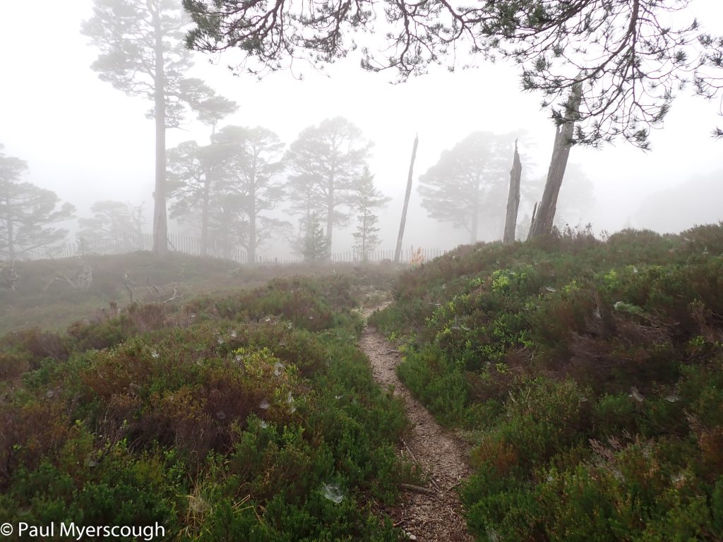
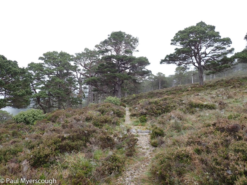
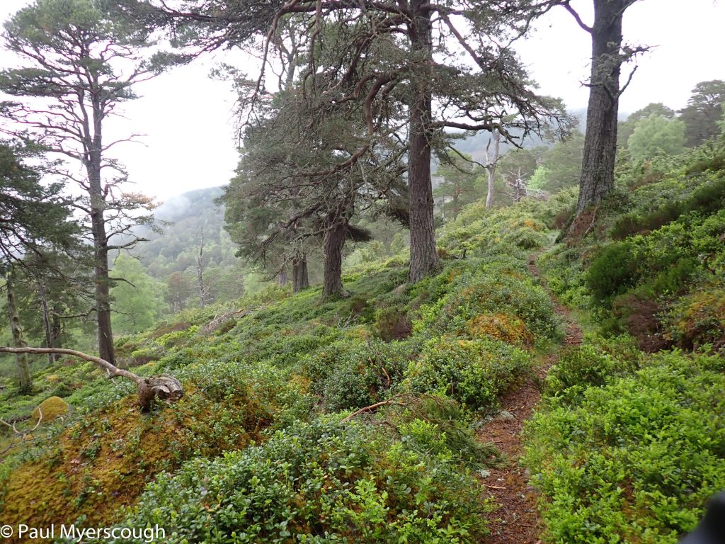
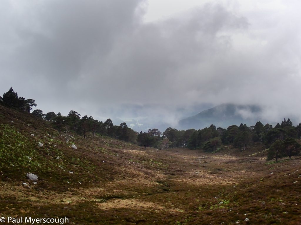
The ground and the undergrowth were very wet. The route followed a feint but obvious path which traversed the forested hillside at 4-500 m. The forest of old Caledonian pines is magnificent and a little mysterious in the lingering cloud (or was it mist?). The heather leaning over the trail was more than waist high in places. Waterproofs were essential!
The track from Glen Beh
Before the turn-off to traverse eastwards
Balmoral estate path traversing east through the caledonian pines
traversing east through the caledonian pines
traversing eastward through the caledonian pines
traversing eastward through the caledonian pines
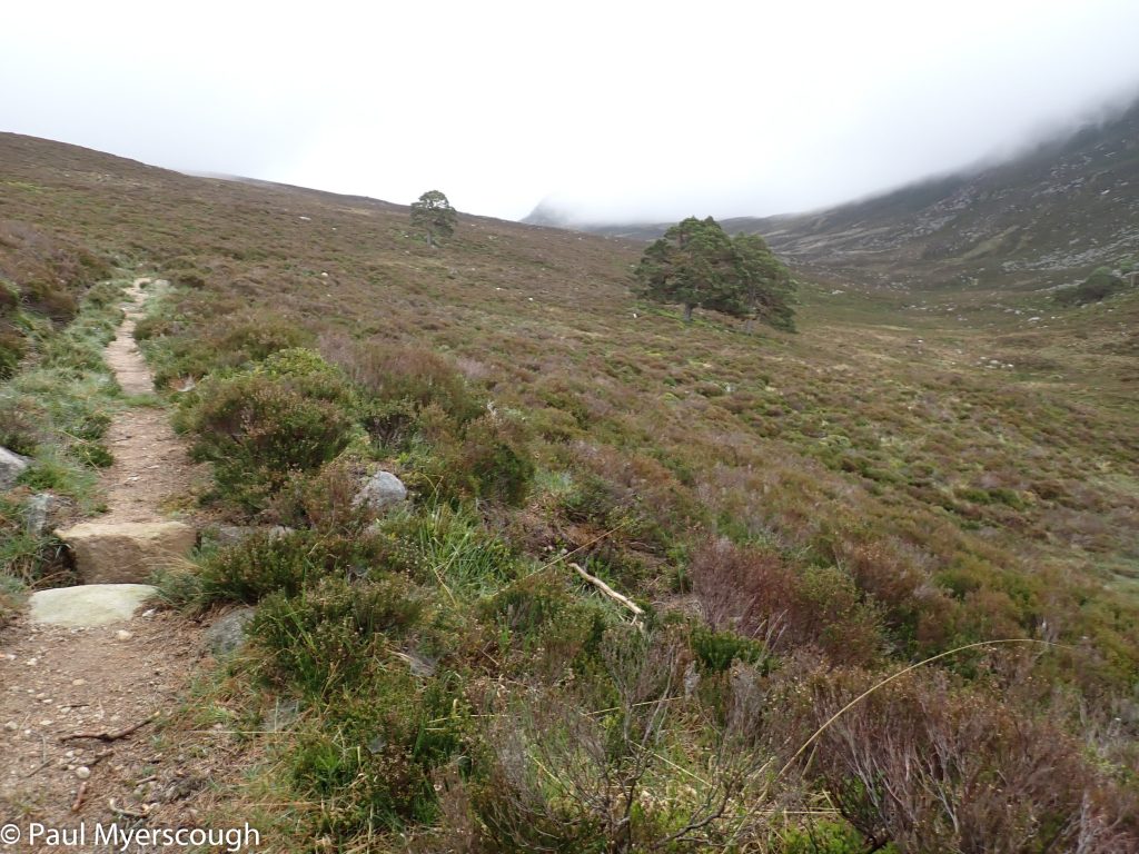
traversing east emerging from the forest
Looking back on leaving the forest
Back on the track
Looking at the map now I realise I should have investigated “The Prince’s Stone”, but I headed straight past that diversion and joined the main track heading east. Once over the Gelder Burn it is time to turn south. I wanted to investigate the bothy, forgetting the advice I had been given previously that this is not a good through route.
Gelder Burn Bothy (on left)
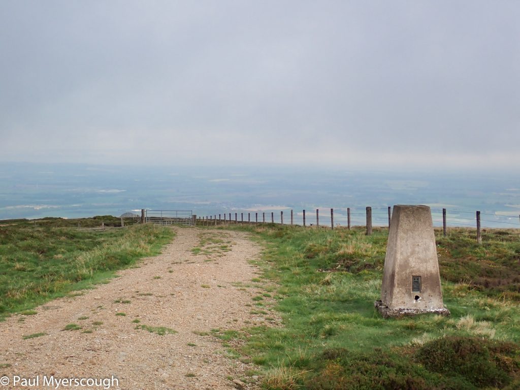
'path' from bothy eastwards with Lochnagar in view
The path to Glen Muick from Lochnagar
Crossing Glen Muick to the route to Sheilin of Mark
The Bothy stands with a couple of other buildings in a small copse. It looks fine, in good order, and deserted. The track which led me there crosses the burn and heads into the hills. The route I need, on the east side of the river, is tortuous. About 3km of broken path traversing collapsing banks and rough ground.
Once I’m on the main track south I meet some TGOers – a Canadian father and two sons. Like me they will be going to Shielin of Mark Bothy.
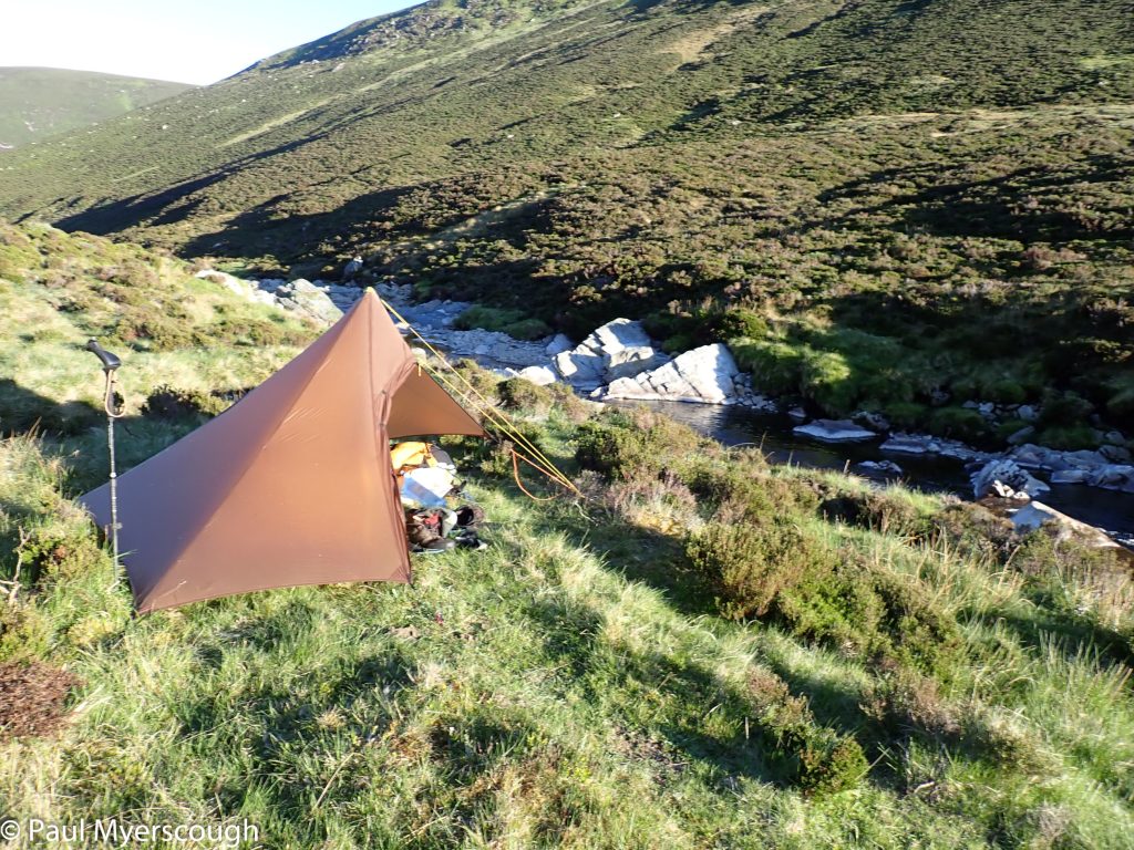
While they stop there, I continue to Glen Mark cutting down the Burn of Roughbanks to find a pitch beside the river. The sun at 7 is just dropping behind the hillside and I manage a quick dip in the stream before it disappears. It is a cold night and I make an early start in the morning.


I want to be on the west side of the river which means prevarication about an early river crossing before I remove my boots and wade to the other side.
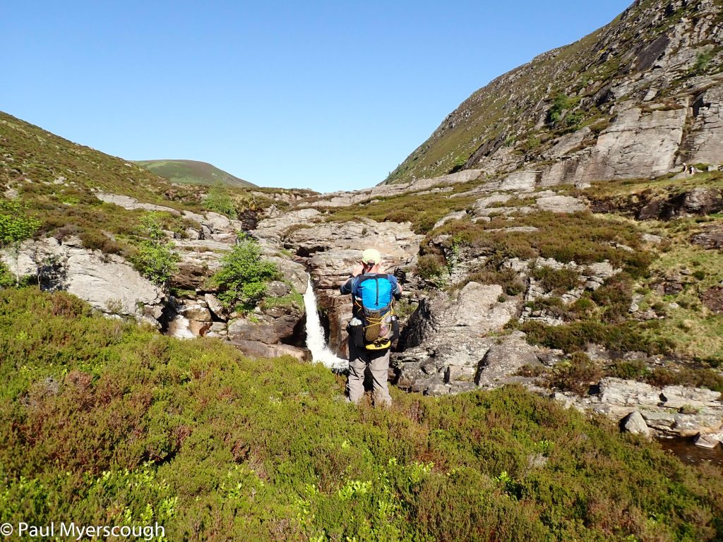
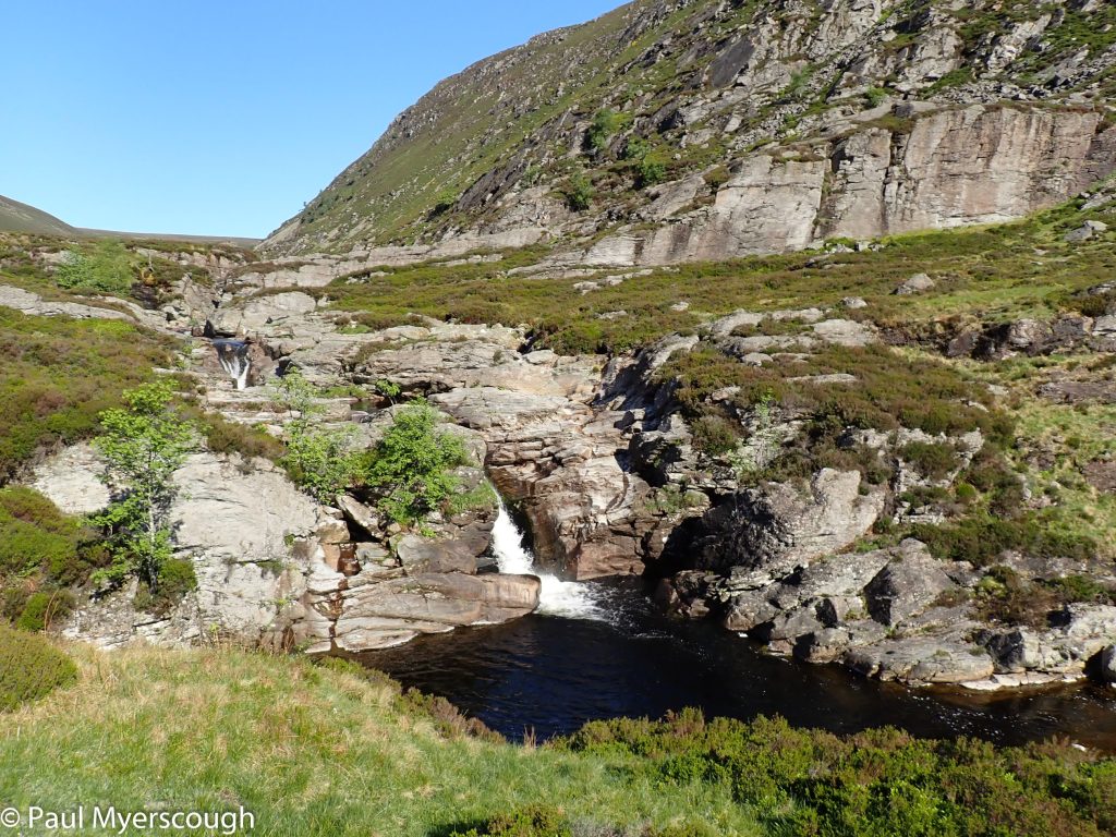
This stretch of the river is quiet and attractive. On previous visits I have been alone except for a few deer, but today TGOer Rory catches me up from the high fell. Soon we reach my camping spot from last time.
Rory photographer
my bathing pool from last year!
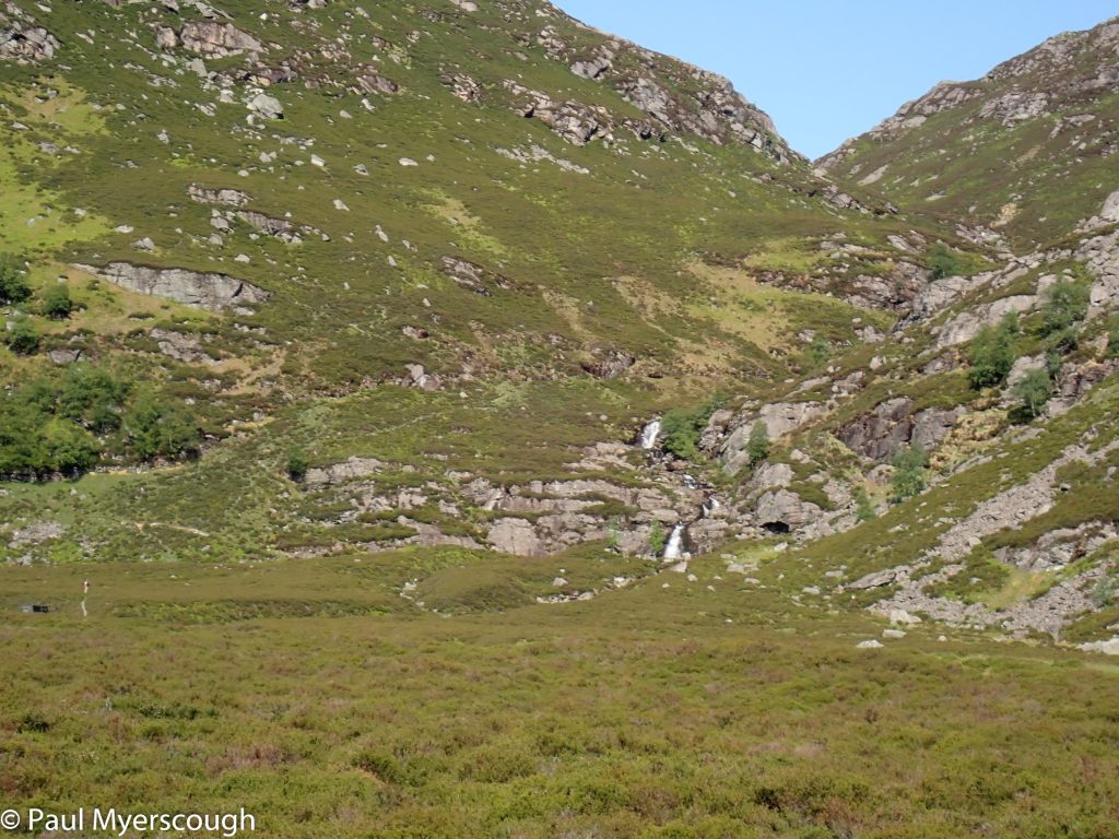
an attractive way into the hills?
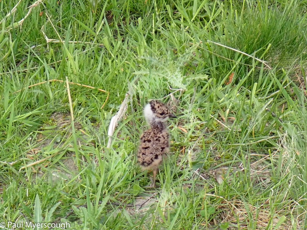
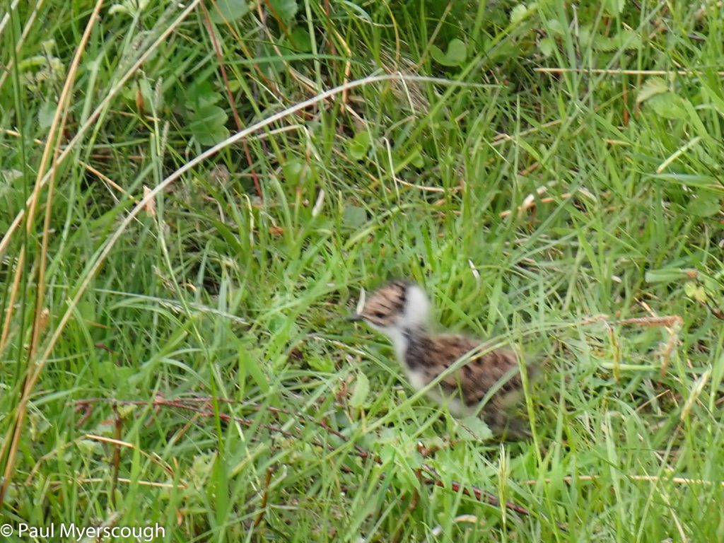
We walk together for 10km or so passing Queen’s Well to Dalbrack where our routes diverge. I follow the south bank of the River Esk remembering how exciting it is to see so many lapwings and then how tiresome their persistent alarm cries become as I walk through their nesting areas. When I stop for a cuppa a baby appears in the grass in front of me, invisible to the parent frantically screeching above.
a baby lapwing ..
.. escaped from the nest
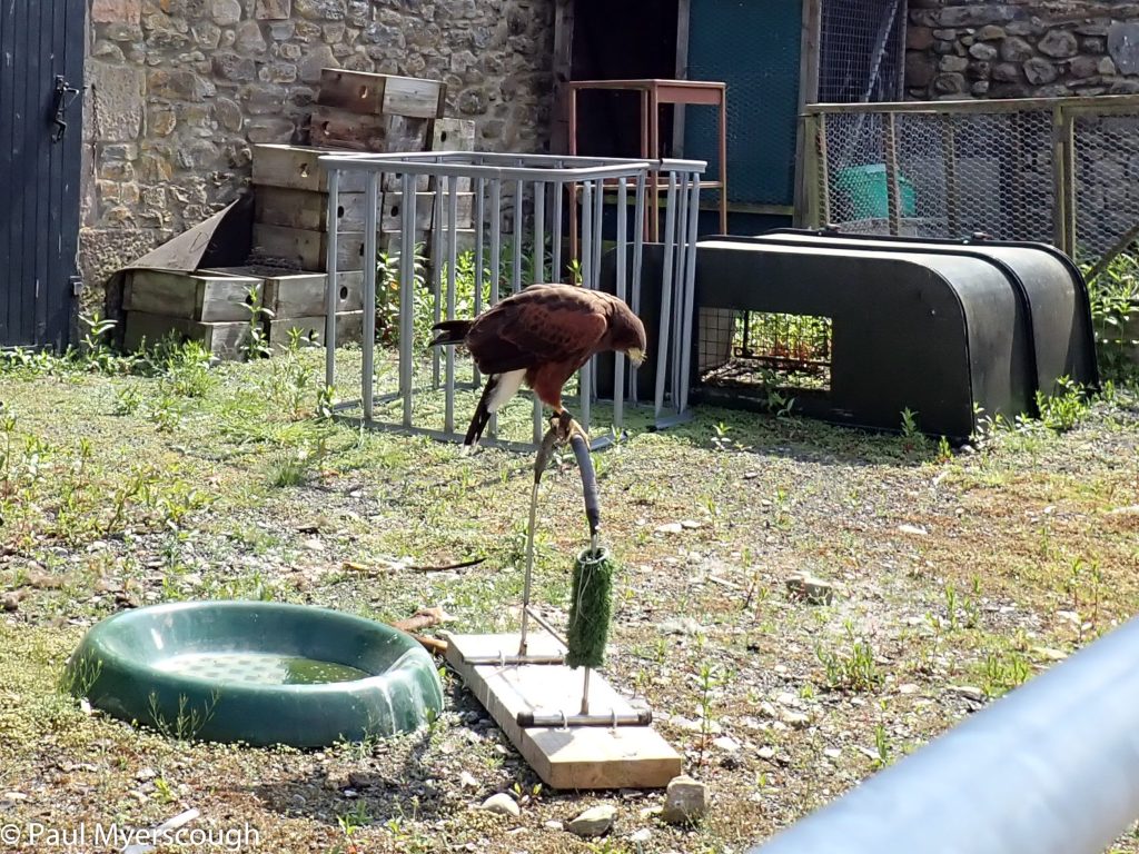
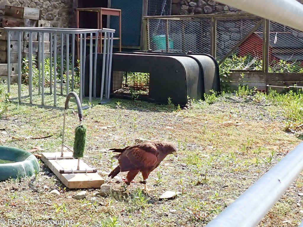
I stop at Keenie to advise someone about a dying sheep on the trail. Although all the buildings are open, there is no-one present, just a large bird of prey tethered in the yard. From here I head across the hills to the south.
Keenie's only resident
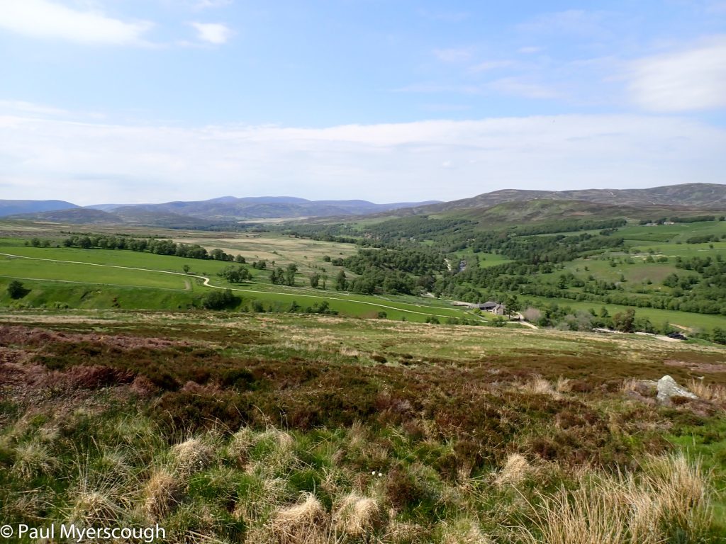
glen Esk
heading south
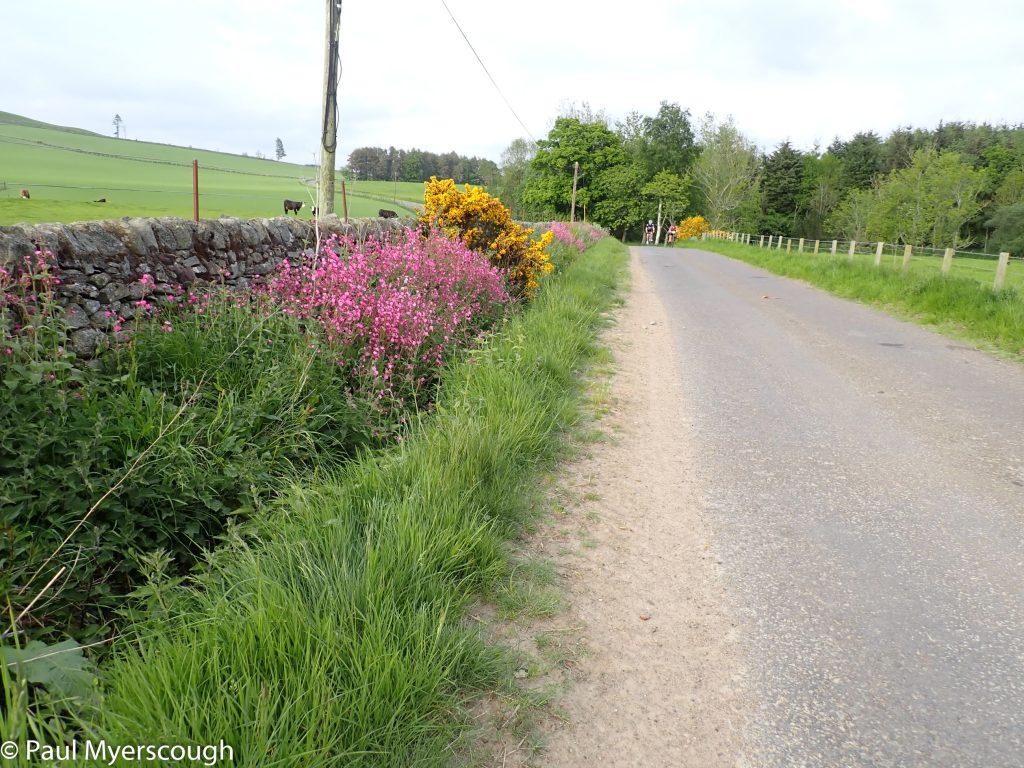
Early morning cyclists
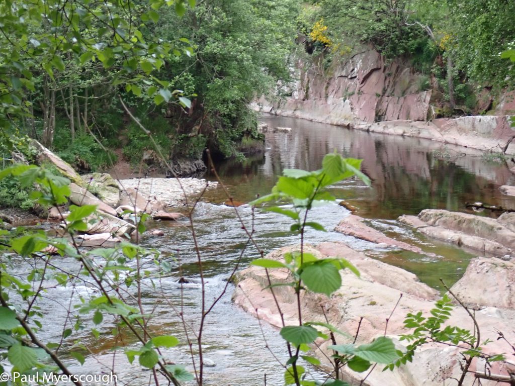
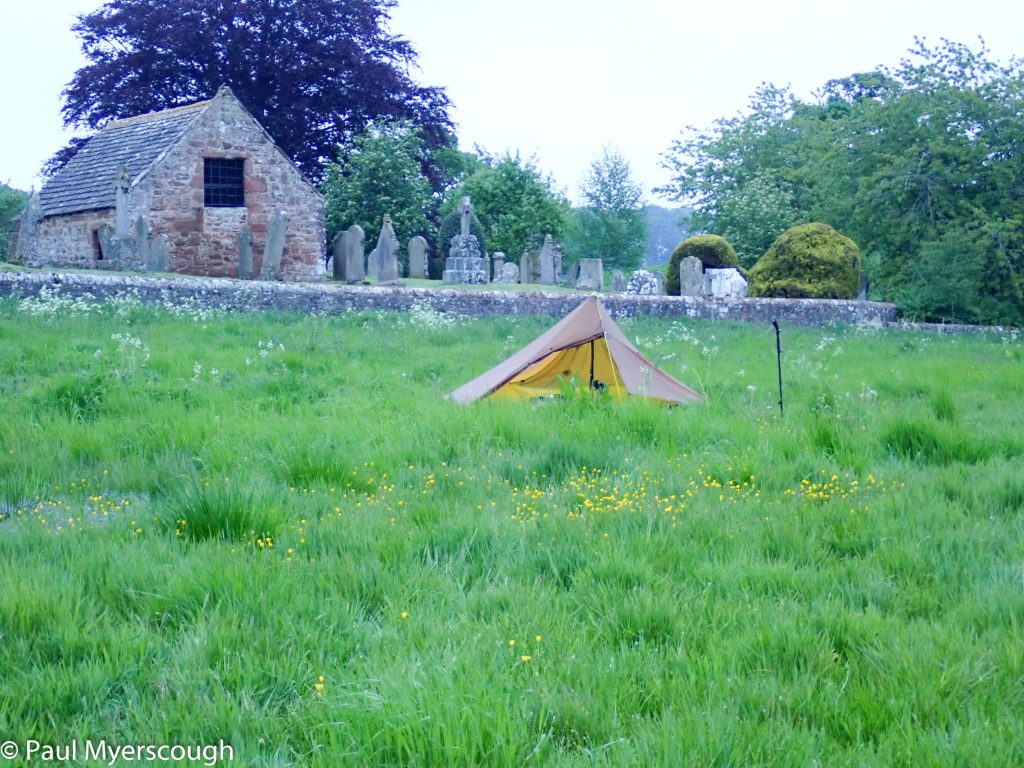
I plan to camp on the far side of West Water, crossing by a ford near Tillydovie. The road through the farm however is not very inviting and I carry on down the road. The river passes through a interesting gorge at Pirn Brig. On the map this appears a possible place to stop, but rubble and rubbish and a car park and a broken bridge makes it seem insecure. A little further I find an attractive meadow between the cemetery and the river which makes an ideal spot.
Pirn Brig
West Water Gorge Pirn Brig
Edzell Cemetary / West Water
This is my last night in the tent and I am finally sure that my sleeping mat leaks (a bit late I know!). Each night I have inflated it several times; I was half convinced that the cold caused to air to shrink, but everything was set for a peaceful and full night’s sleep here yet I was woken more times that ever.
Rain is forecast for midday and at 5am I decided to rise and walk to avoid the start of the wet weather.
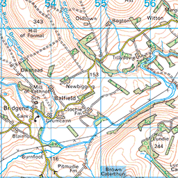


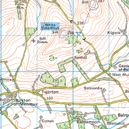


There is a straight road, more-or-less, between here and the historic Bridge of Dun near Montrose. Road walking is unavoidable now, and this is one of the shortest possible stretches to the coast. I was excited about this finale – not only is there an ancient and historic bridge crossing the South Esk river, but I will also have the opportunity to see The Lurgies and maybe The Slunks. Furthermore there maybe a chance to checkout the ‘Caledonian Railway’ between Bridge of Dun and Brechin.
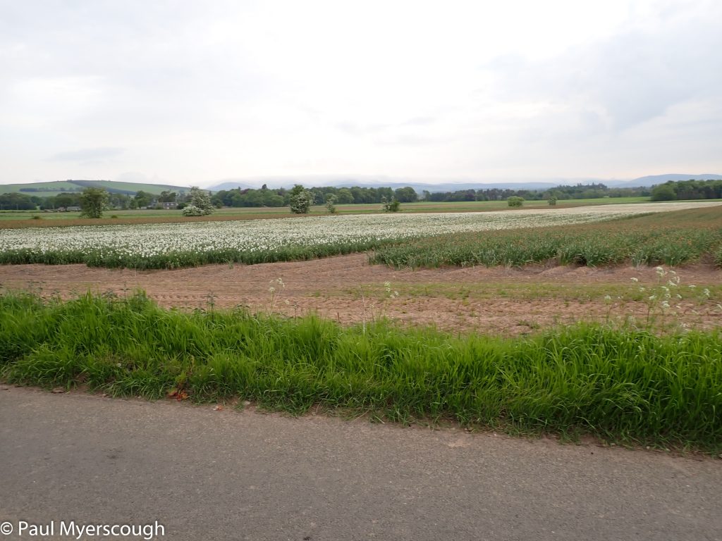
Daffodil harvest
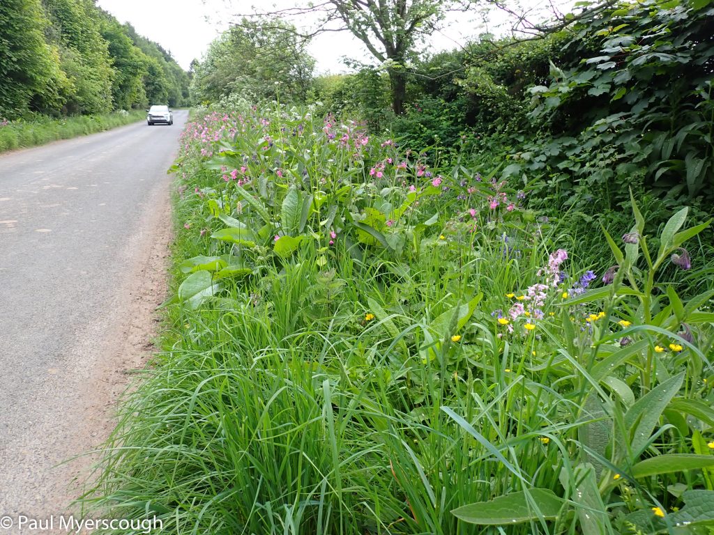
Lush road verges in Angus
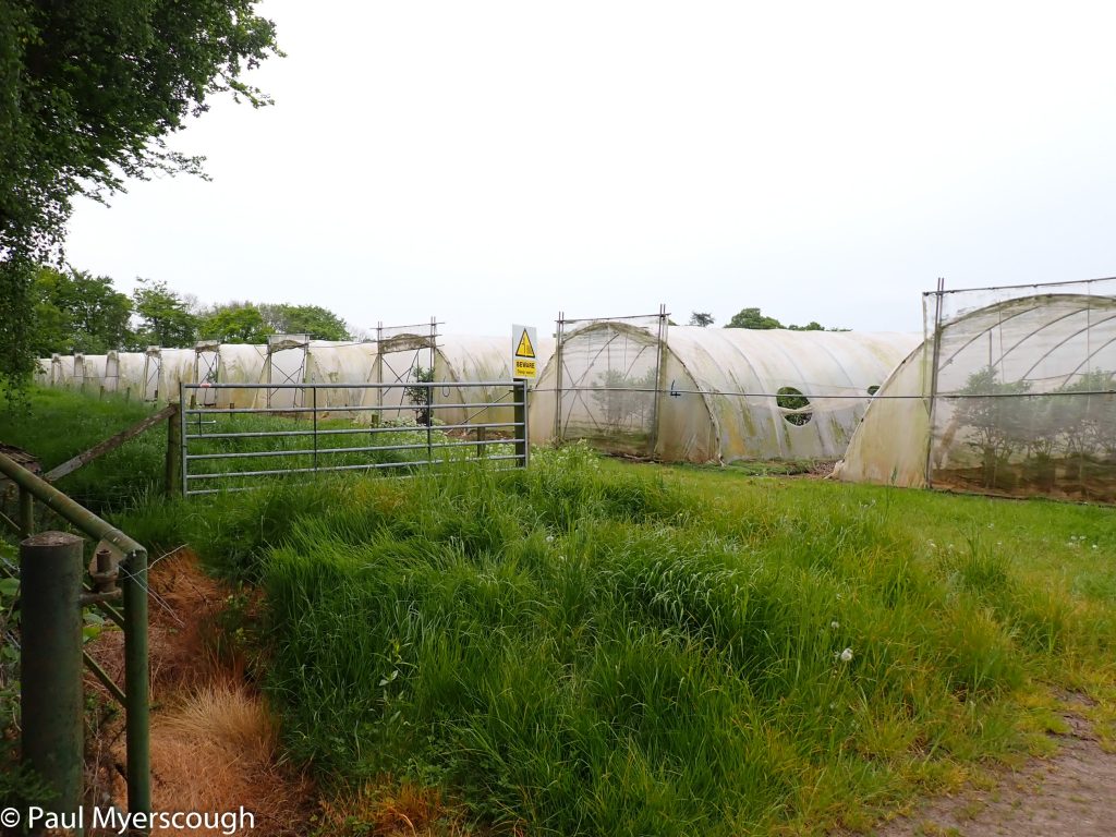
Strange fruit growing undercover
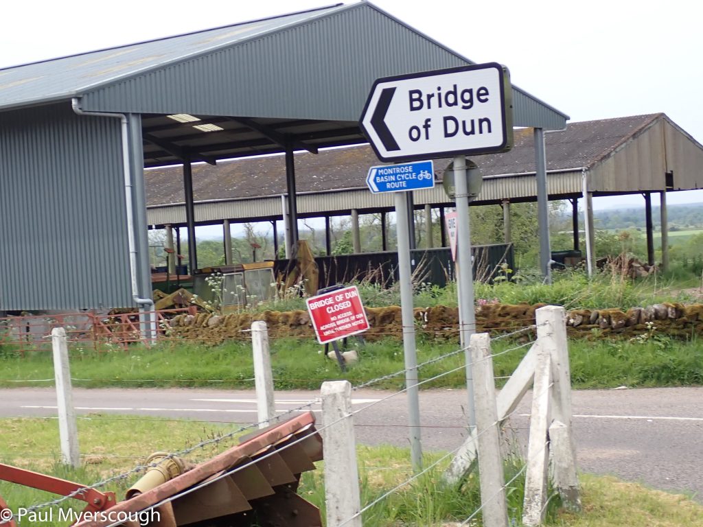
Bridge of Dun closed
Alas! none of this was to be. The bridge was ‘closed until further notice’. 20 minutes walk from the sign to the site of the unfortunate bridge was just a little too far to investigate, and so I headed off down the uncomfortable footpath alongside the A935 main road into Montrose.
Arriving at my accommodation just before the rain started, I felt some luck. And with friendly support I was given my room early and some quick washing to make me respectably clean for check-in and dinner at the Park Hotel.
