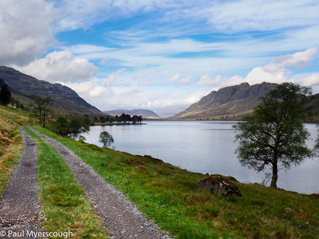
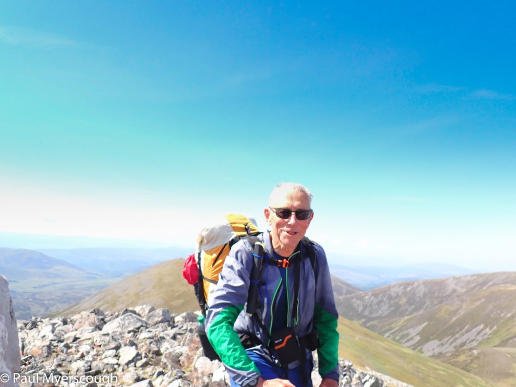
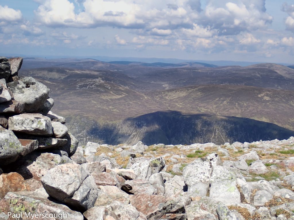
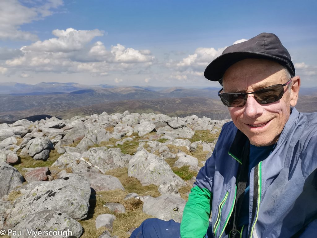
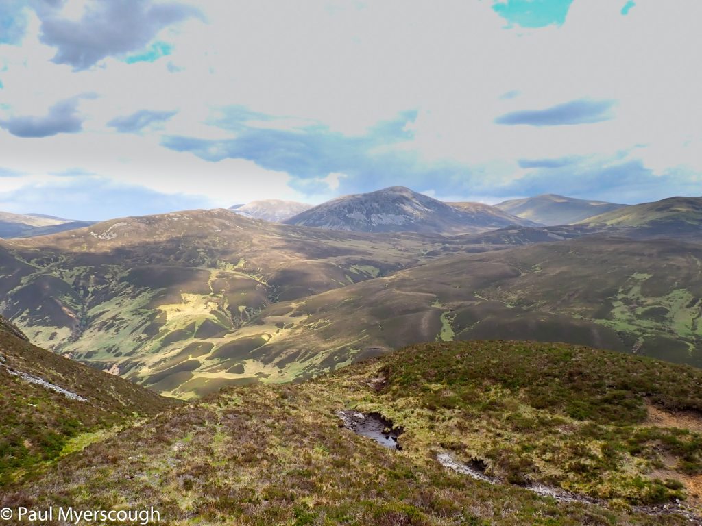
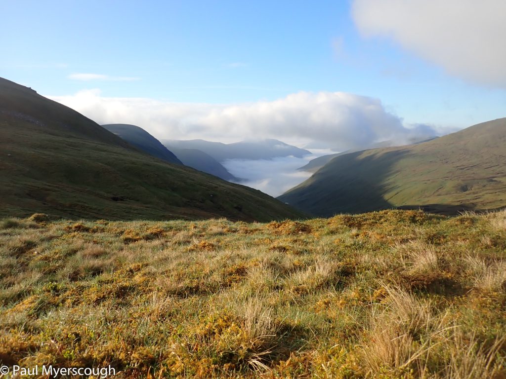
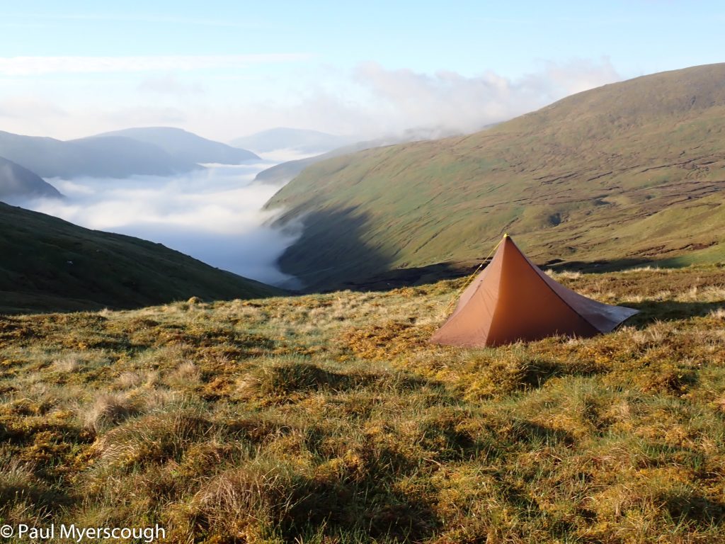
It is always disappointing when weather determines the route. Craig Meagaidh is an attractive masif on the map and demands more exploration than I gave it in 2015 when I followed the long and gradual east ridge down to Laggan. But then an FWA can bring unexpected pleasure!
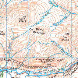
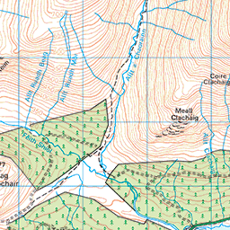
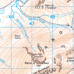
In the map below the plan for the day is shown in blue, while my actual route is in red.
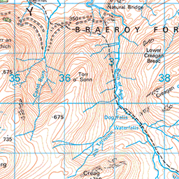

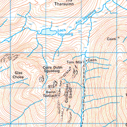





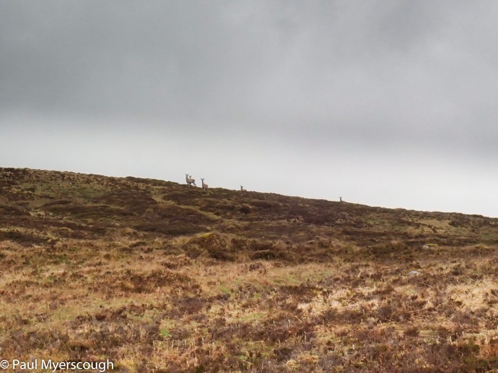
Deer watch me leave the hills
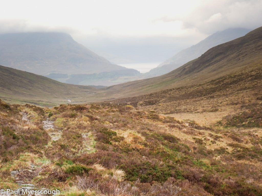
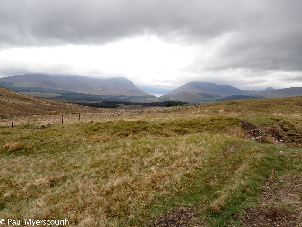
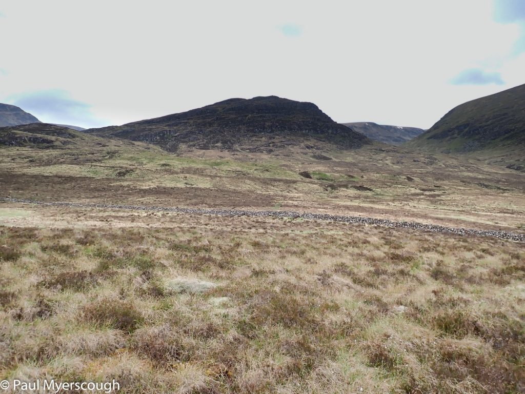
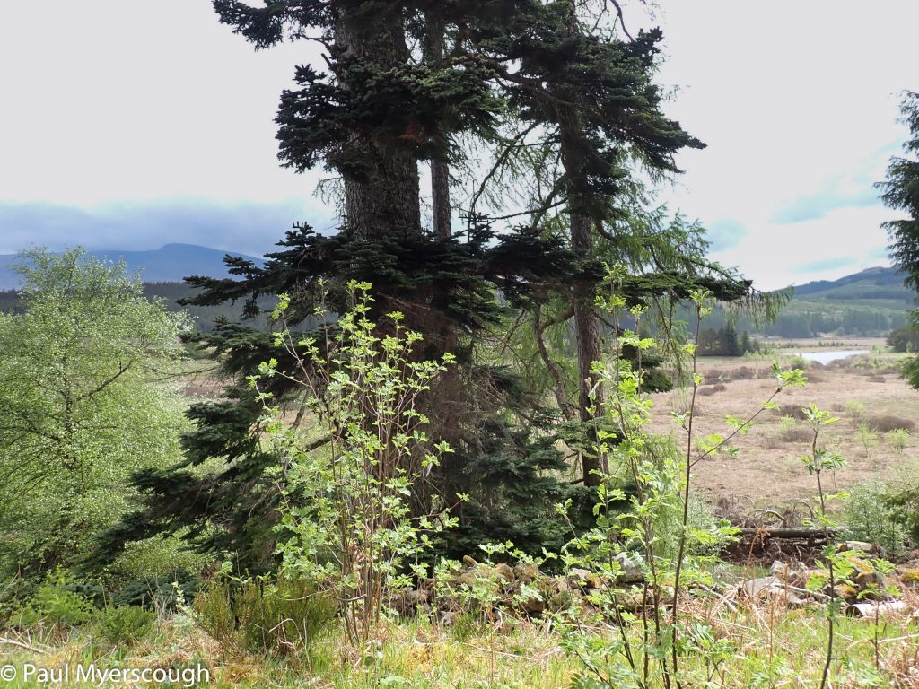
I crossed open terrain to the south and then followed the glen between Beinn Teallach and Beinn a Choariann watched briefly by a flock of deer. As I emerged from the hillside I found my way into an enclosure and followed a track eastwards through the trees. This bid to avoid unnecessary road walking led me out of the forest and along the shore of Lochan na Calliche before emerging on to the road at Moy. My diary for the day says “this route .. included unpleasant walking in wet clumpy heather bushes with obstructive fences, etc”!
A sign of wetness!
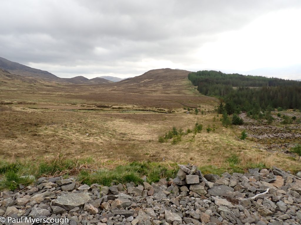
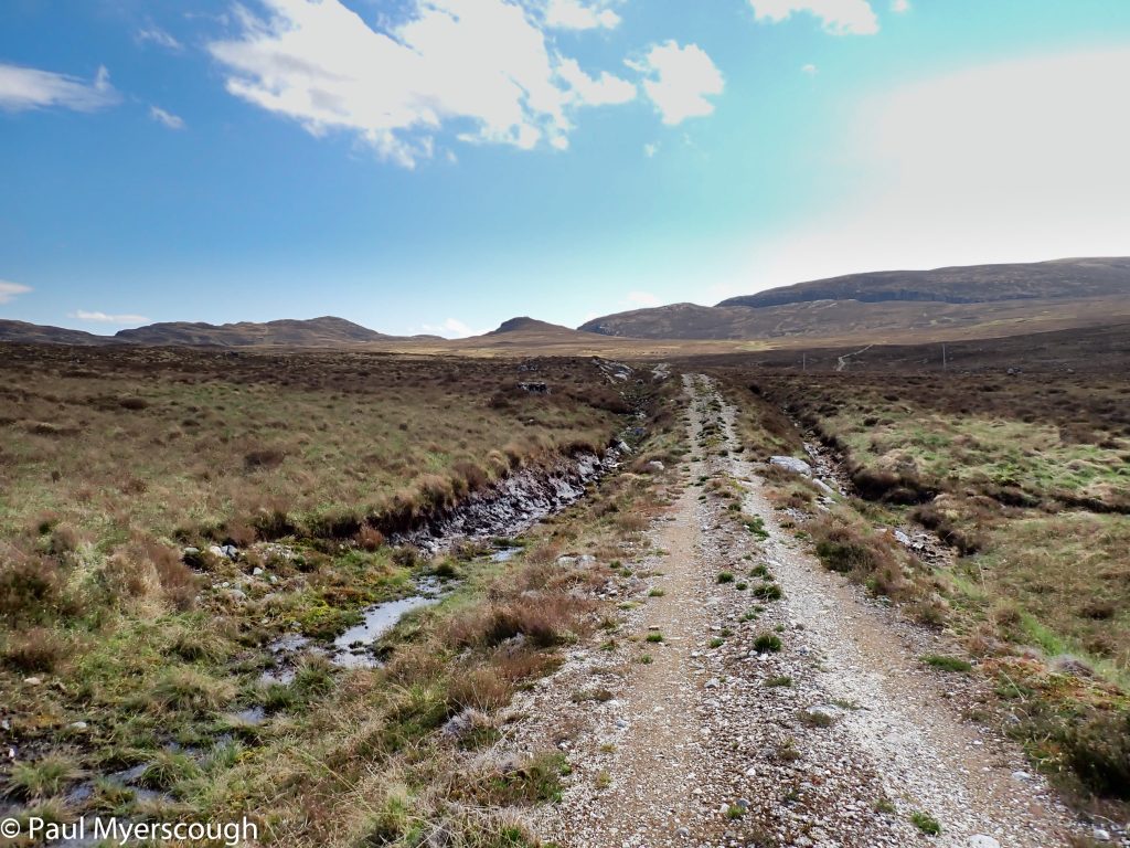
Round the left of the hill ahead
Lochan na Cailliche
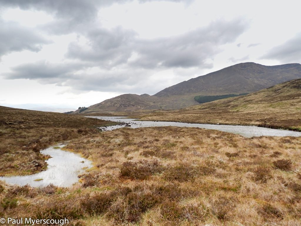
Wet, lumpy hard walking
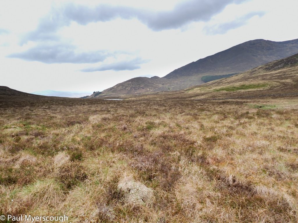
More wet, more lumpy
From Moy after around 1km of road walking it is possible to cross the River Spean and head into a fine mountain area overseen by Ben Alder to the south. I was heading to a pair of Lochans both named Na Earba. From nearby hills they look attractive and intriguing.
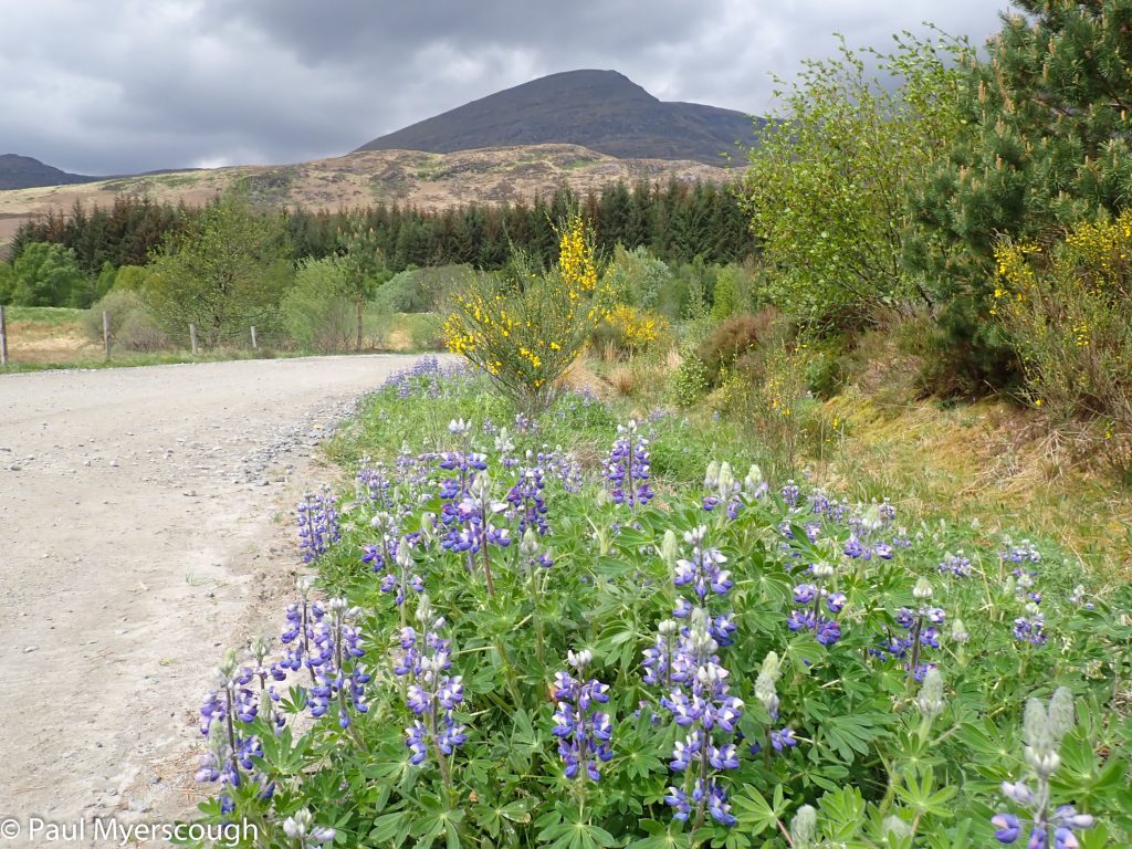
Road by Moy
Heading back to the hills!
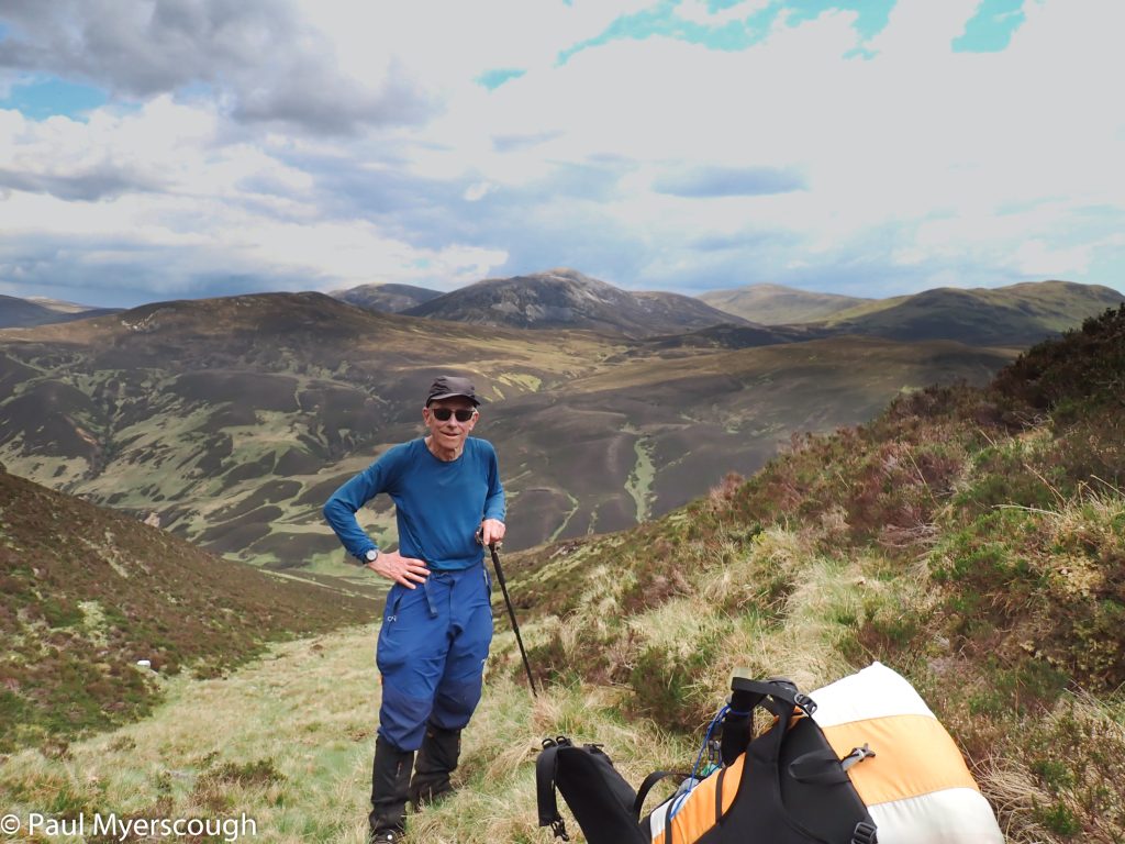
My optimistic plan included a revisit to Geal Charn at 1049m before heading down to camp by the waterside. My body however was battered by the rough route from earlier in the day, and when TGOer Craig Gulley came level with me from behind I just had to rest. A mountain top was out of the question!
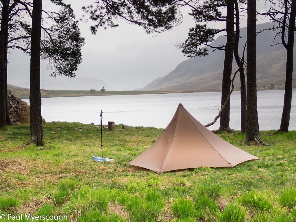
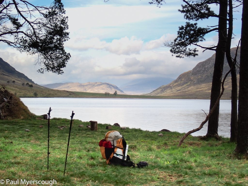
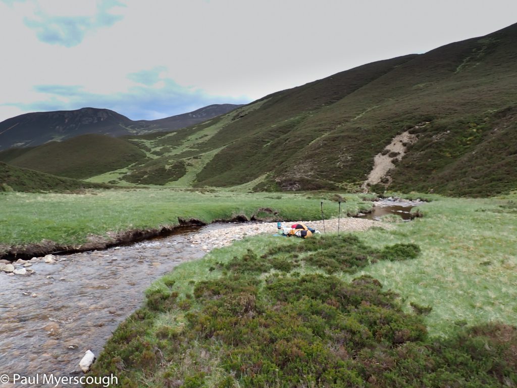
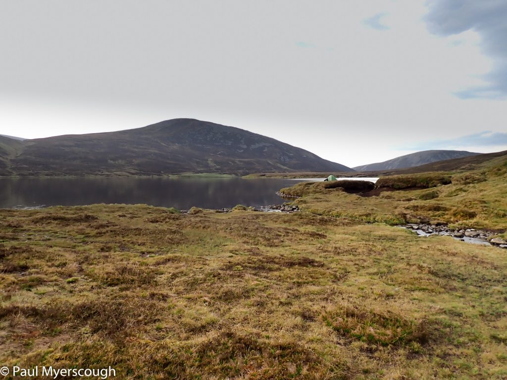
The weather had cleared by late afternoon but the wind was still gusting. I was surprised to see Craig pitching his tent in the middle of the ‘beach’ – flat open land ideally placed for the NE wind scooting along the top of the lochan. My plan was to stop between the two pieces of water, but my vetter had suggested I carry on a little further.
By Lochan na H Earba
Ready to go!
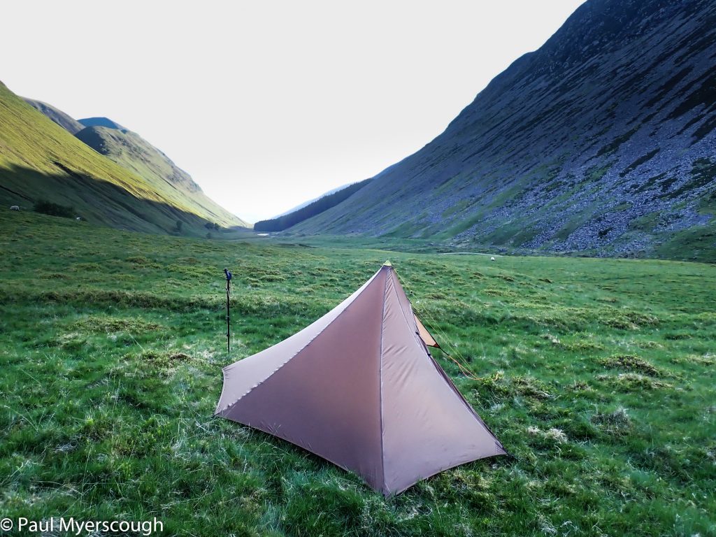
I was sheltered from the wind. The trees attracted some noisy birds including a cuckoo. But this was only pleasant and failed to stop a good night’s sleep. Craig passed by at 7.30 in the morning reporting that he had to change his pitch because of the wind.




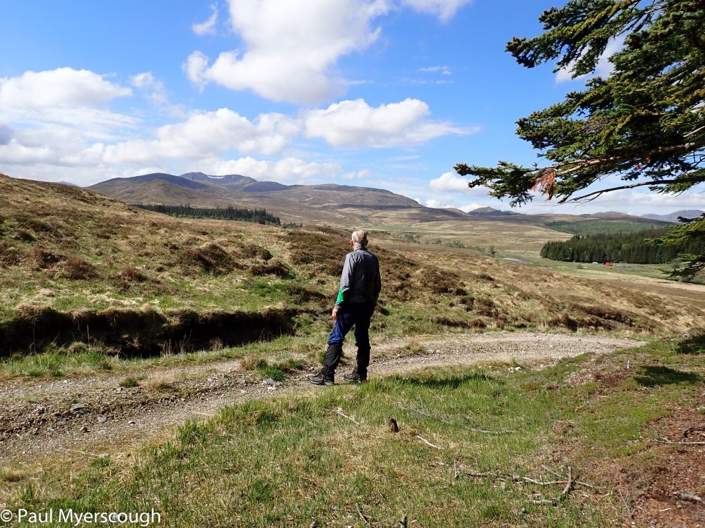
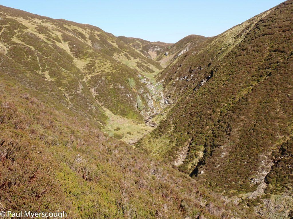
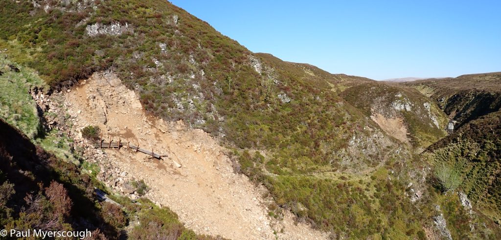
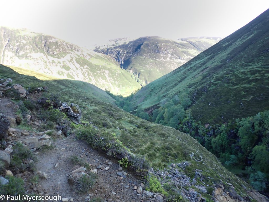
My target for this day is Dalwhinnie. The route is relatively straight forward: forest tracks lead eastwards to a range of hills; traversing this is a matter of taking a line and heading, pathless, to the other side. On previous occasions I have funnelled through Dirc Mhor or alongside Lochan na Doire-uaine. Both these are now considered too dangerous and this time I take a line to the north, passing these two geographical features on the other side.
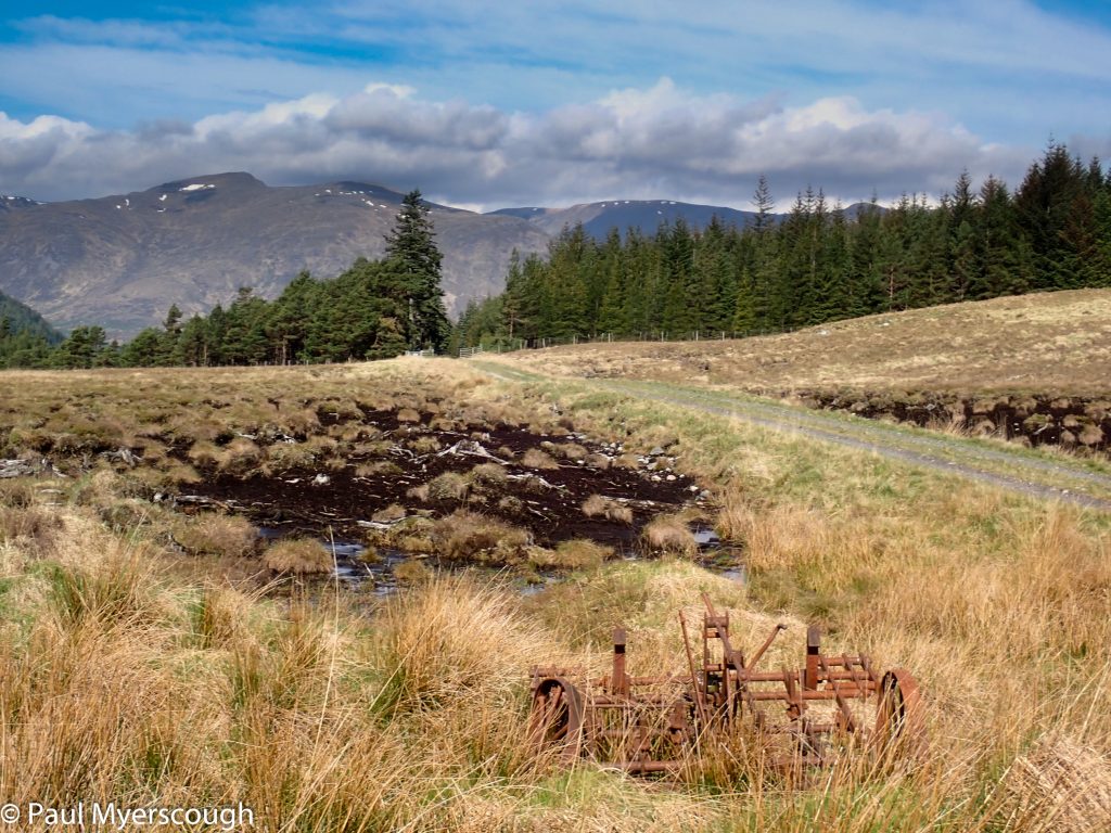
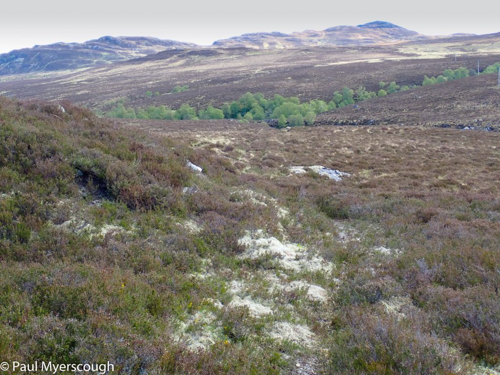
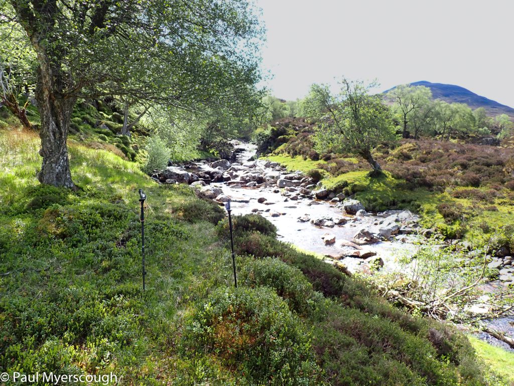
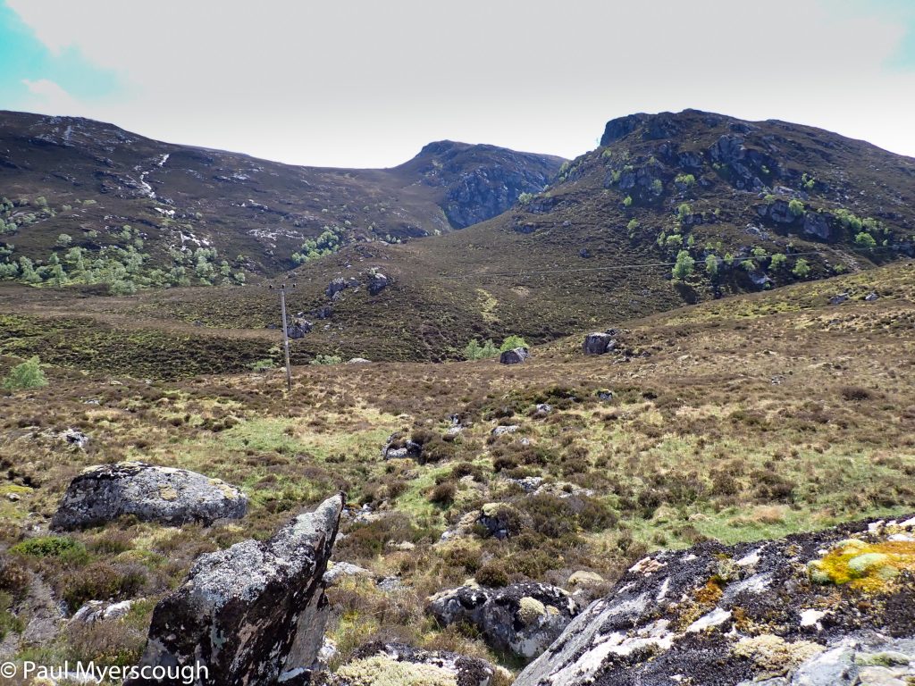
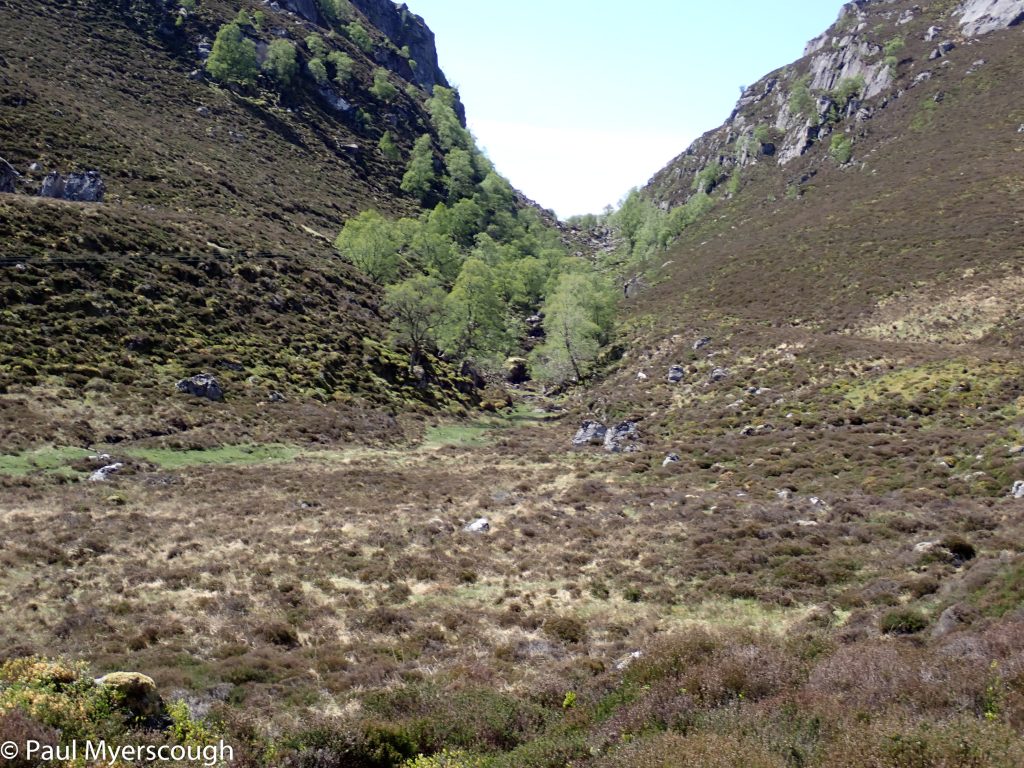
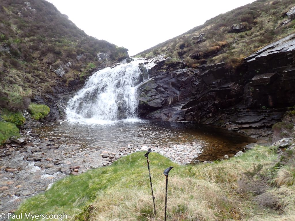
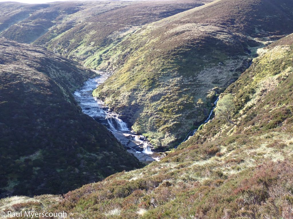
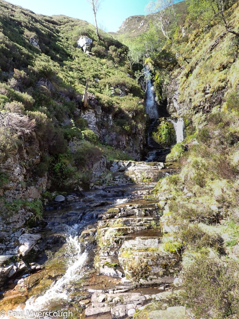
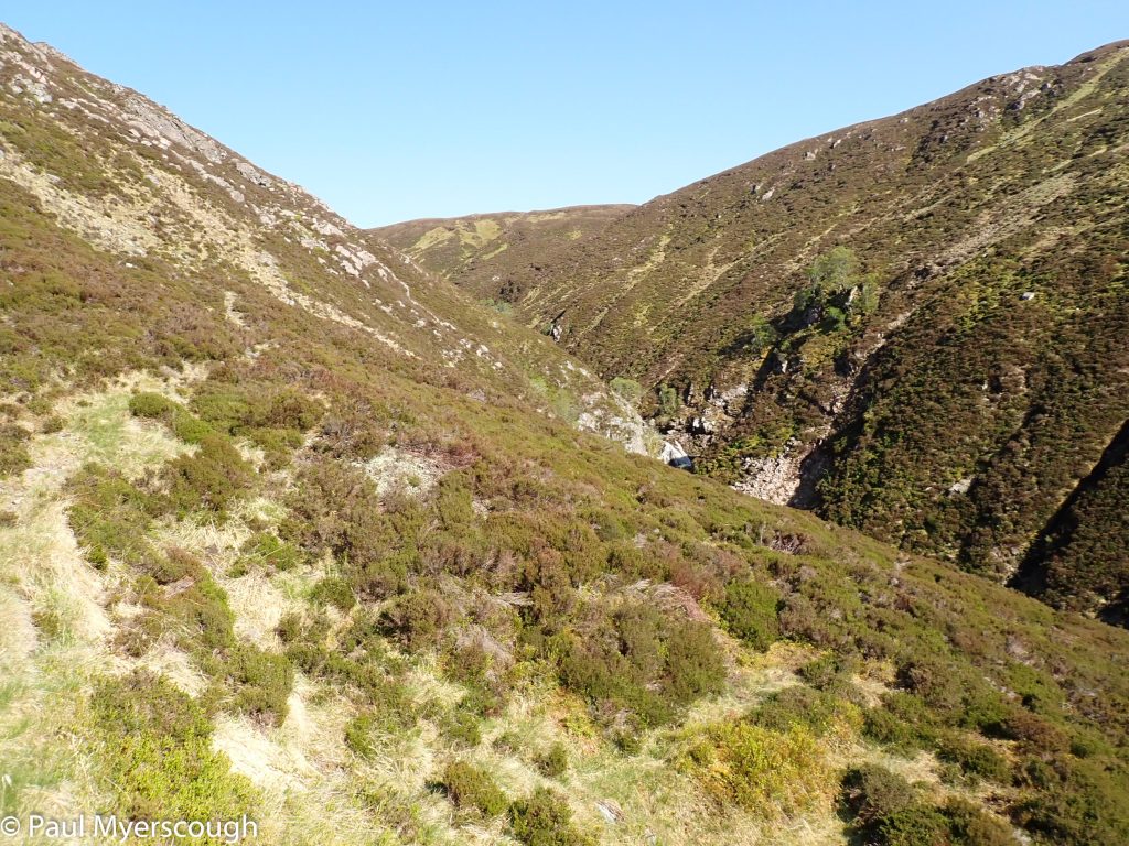
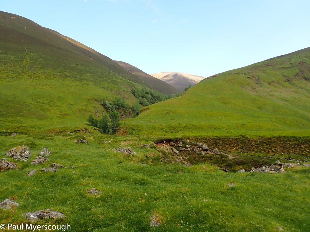
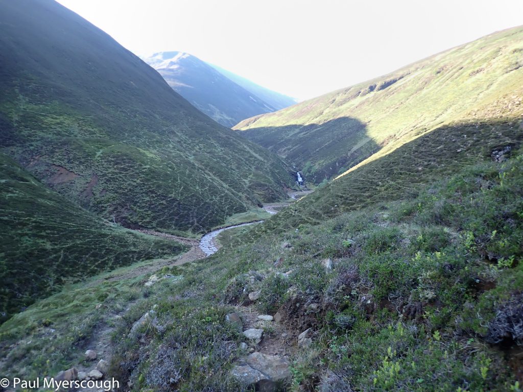
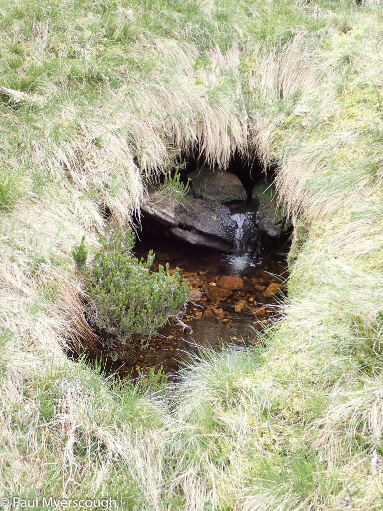
There used to be a signpost to a waterfall on this track, but no obvious path leading to it on the ground. The picture below shows a line of discoloured heather heading to an area where the River Mashie is constrained by higher banks and a gully on the hillside. In the sunshine, with birch and other small trees and a little bit of almost level ground, this looks attractive. A possible future camping spot!
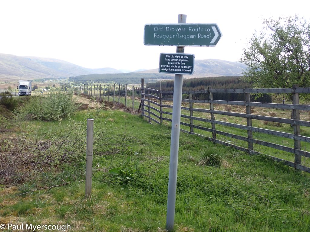
"this old right of way is no longer apparent ... "
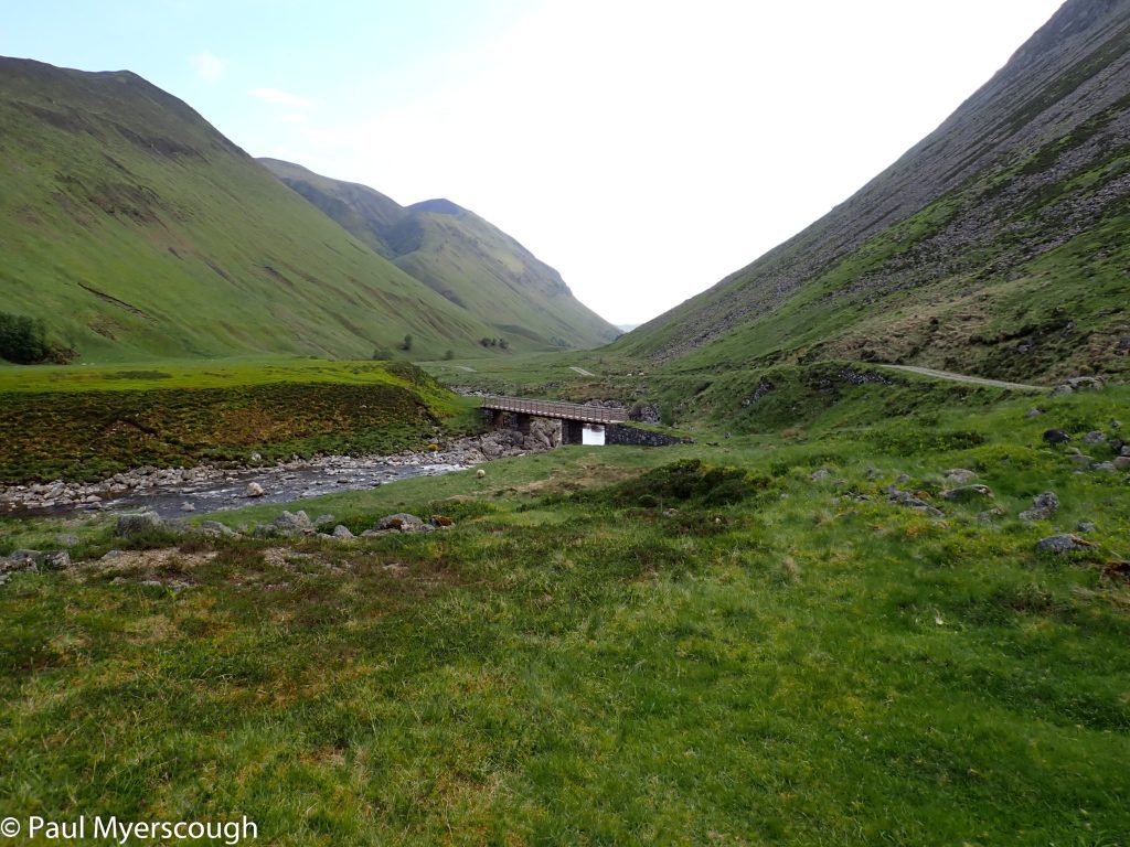
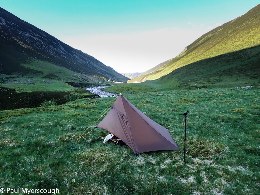
Looking down Lochan Na Earba to the camp spot in the early morning sunshine
Creag Meagaidh
Geal Charn with a touch of snow
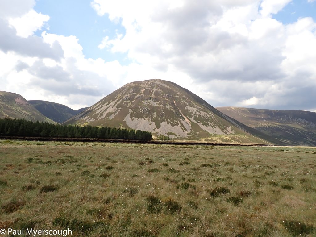
The hills guarding Dalwhinnie
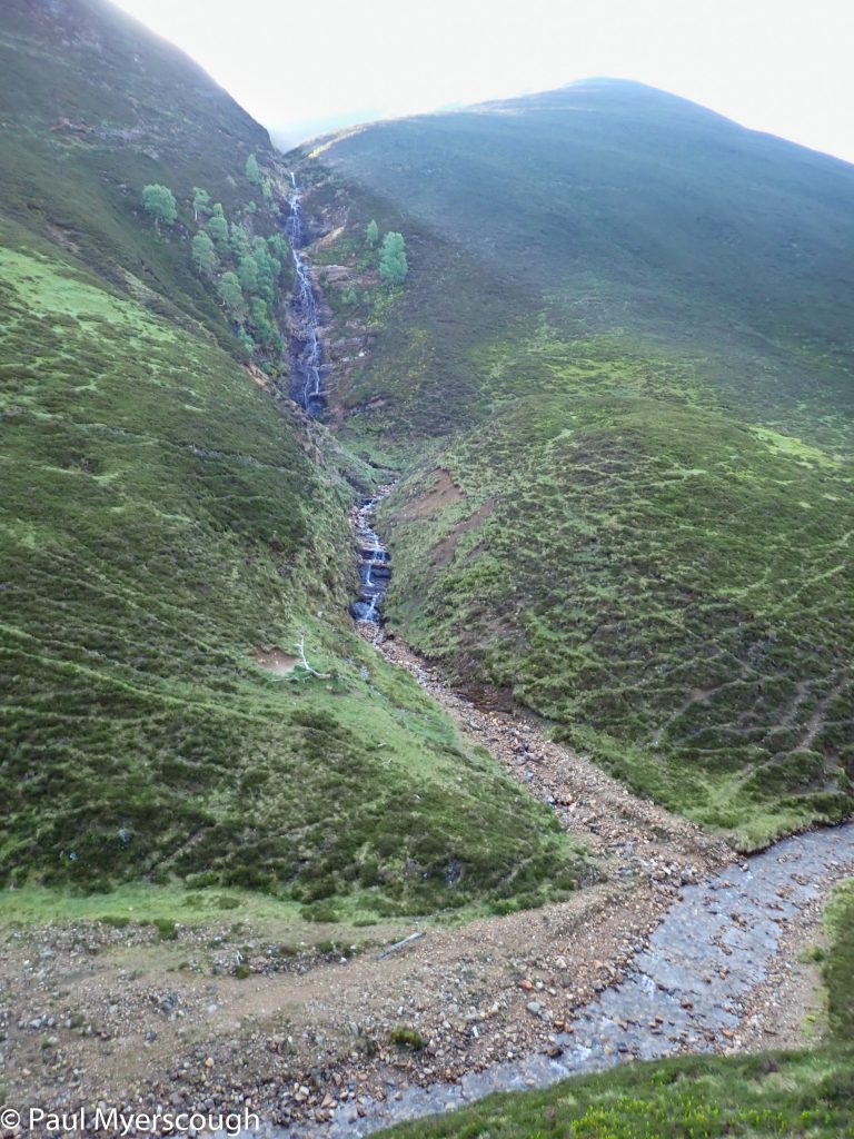
The mystery waterfall is over there
The mystery waterfall
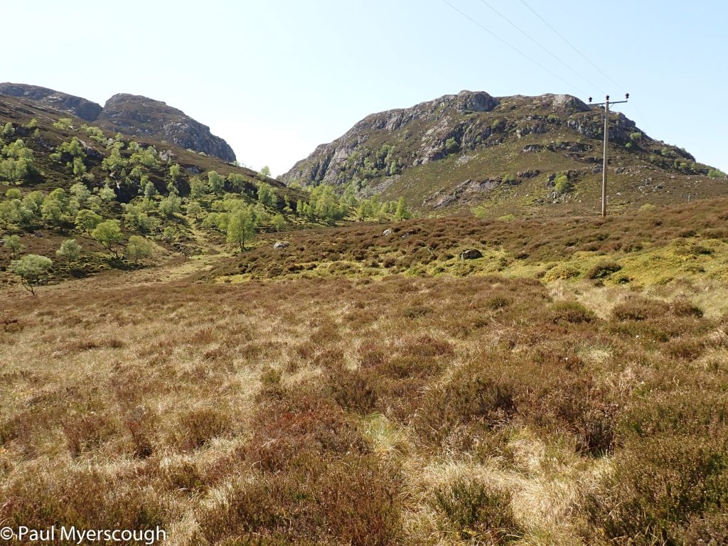
Electricity poles lead over to the other side
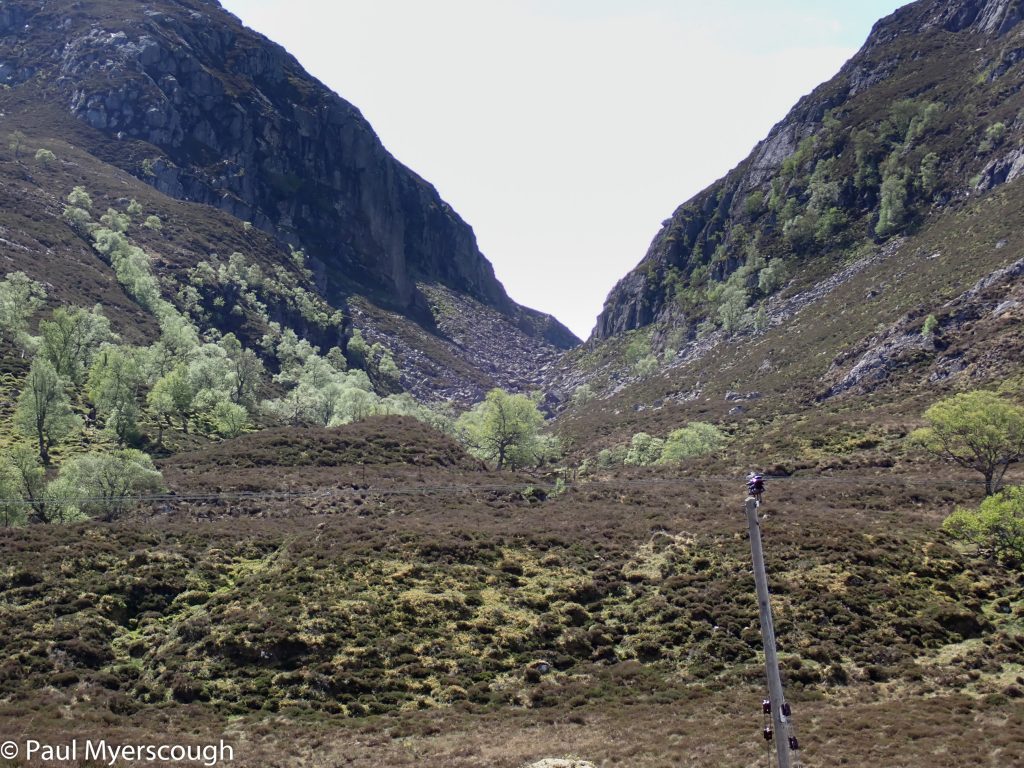
The poles pass the two rocky defiles from the plain above
Outflow from Lochan na Doire-uaine
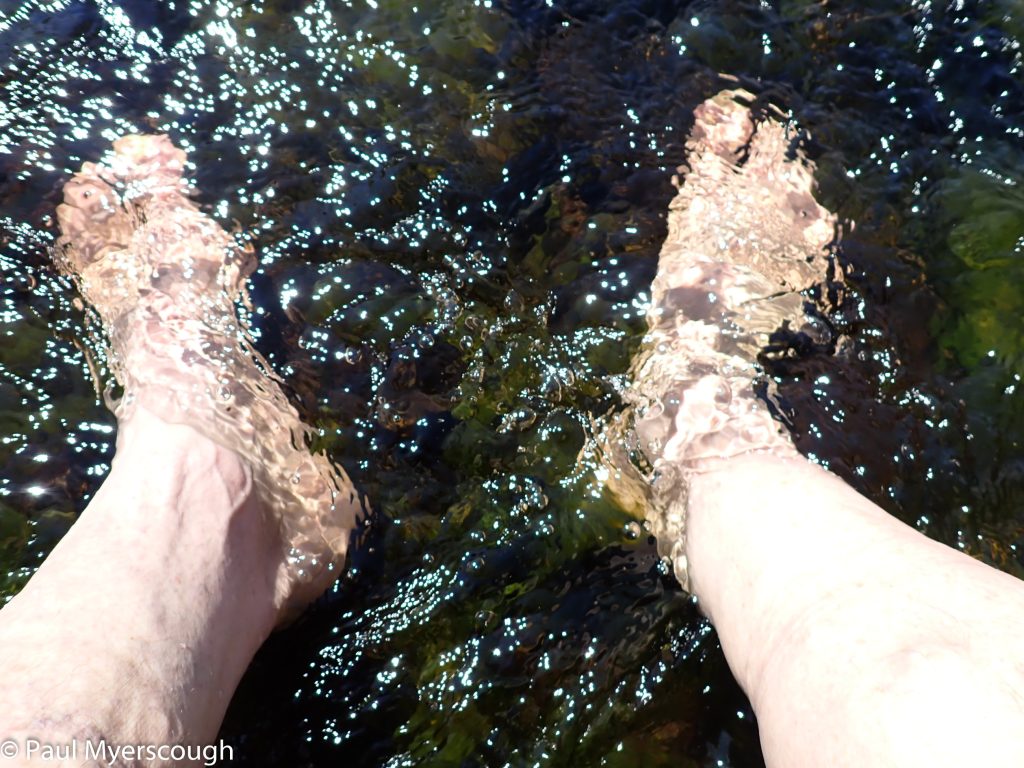
A dip for the feet is always worthwhile!
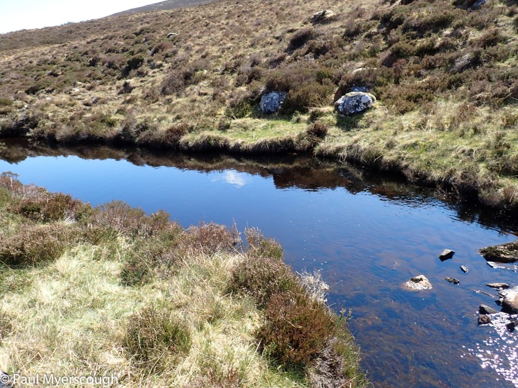
The river is a bit shallow for full immersion
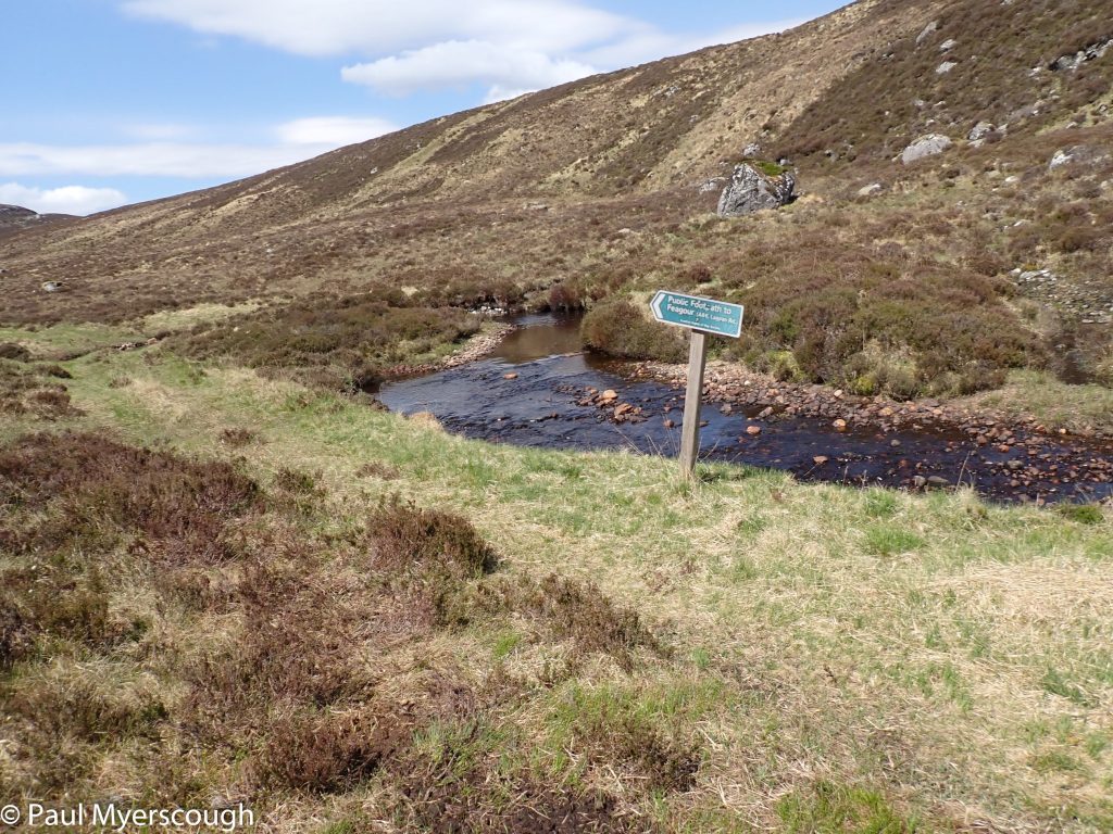
A signpost points down the invisible path
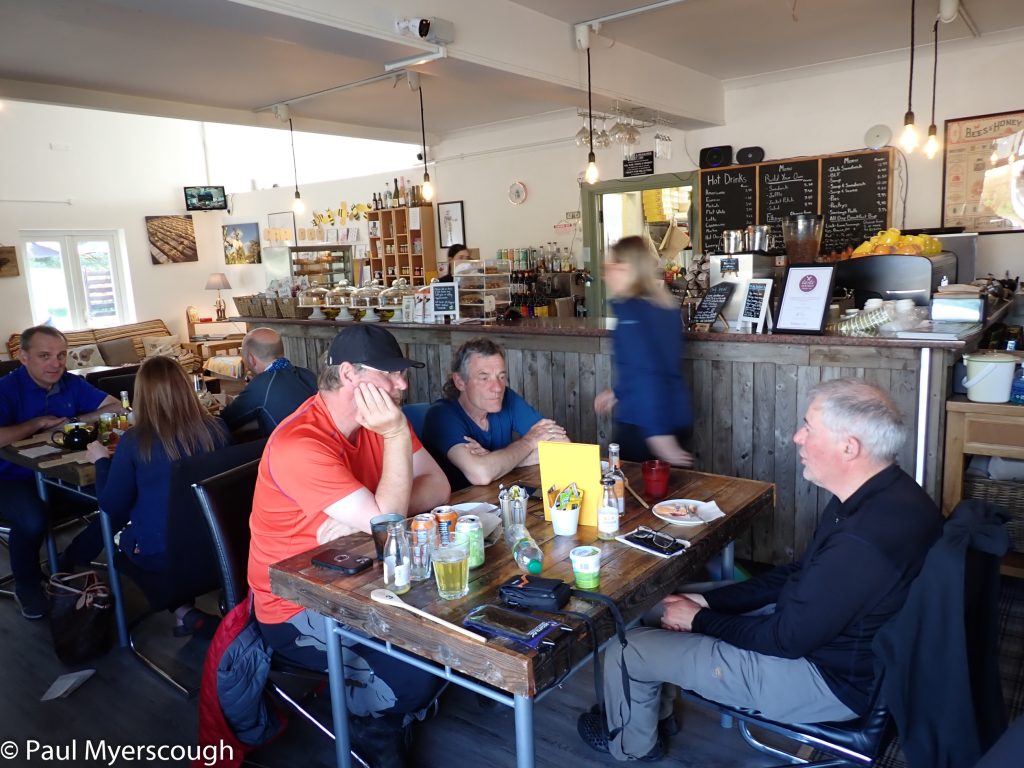
The Apiary cafe has good reviews, but no chips!
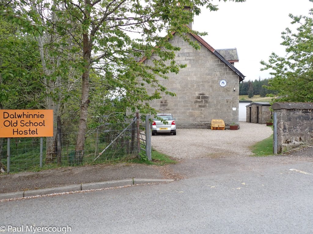
A good night in the Old School Hostel
On the hillside above there is a line of electricity poles to use as guard-rails. My route on the other side is along the river Allt an t-Sluic which looks nice and wide on the OS map. I was thinking about a dip before returning to civilisation, but the burn is less inviting close-up – shallow with black weed on the bottom. nevertheless a dip is always recommended!
The Dalwhinnie hostel is a welcome addition to this area and Lee, the owner/manager is a great host. His office is a cave of necessities and goodies. There were a number of TGOers staying the night and Lee had arranged for the local café ‘The Apiary’ to stay open late for TGO diners. I head down there with Jason and Peter and Dave Albon. The menu is very limited but a baked potato and a beer went down well. There’s lots of cake for those with a sweet tooth.


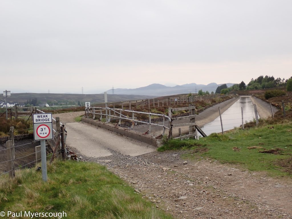
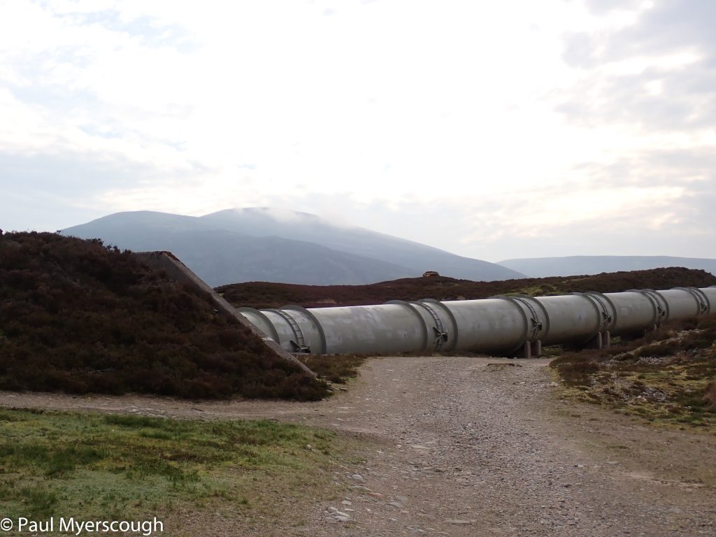
Many TGOer leave Dalwhinnie and head for Loch Cuaich. I had always wondered why I never saw anyone else heading northwards up the road when I left in the morning. Third time wiser, I went south and joined the path alongside the aqueduct like everyone else.
I’m heading to Gaick Lodge, like I did once before (see link here!). This time, instead of heading to Feshie I going more-or-less due East following the pathless high glens over to River Tily. After a while i saw a figure in front – it was Peter from the hostel. There had been a lot of discussion with challenge control about FWAs in the area because a well-favoured bridge was out of action. At the top of the track Peter was heading pathless cross-country on the FWA to the dam in Glen Tromie. I was going over the top having worked out that in the event of high water I could stay on the wrong side of the river until it was small enough to cross.
Here are pictures from day 8. Just click to look at any one more closely.
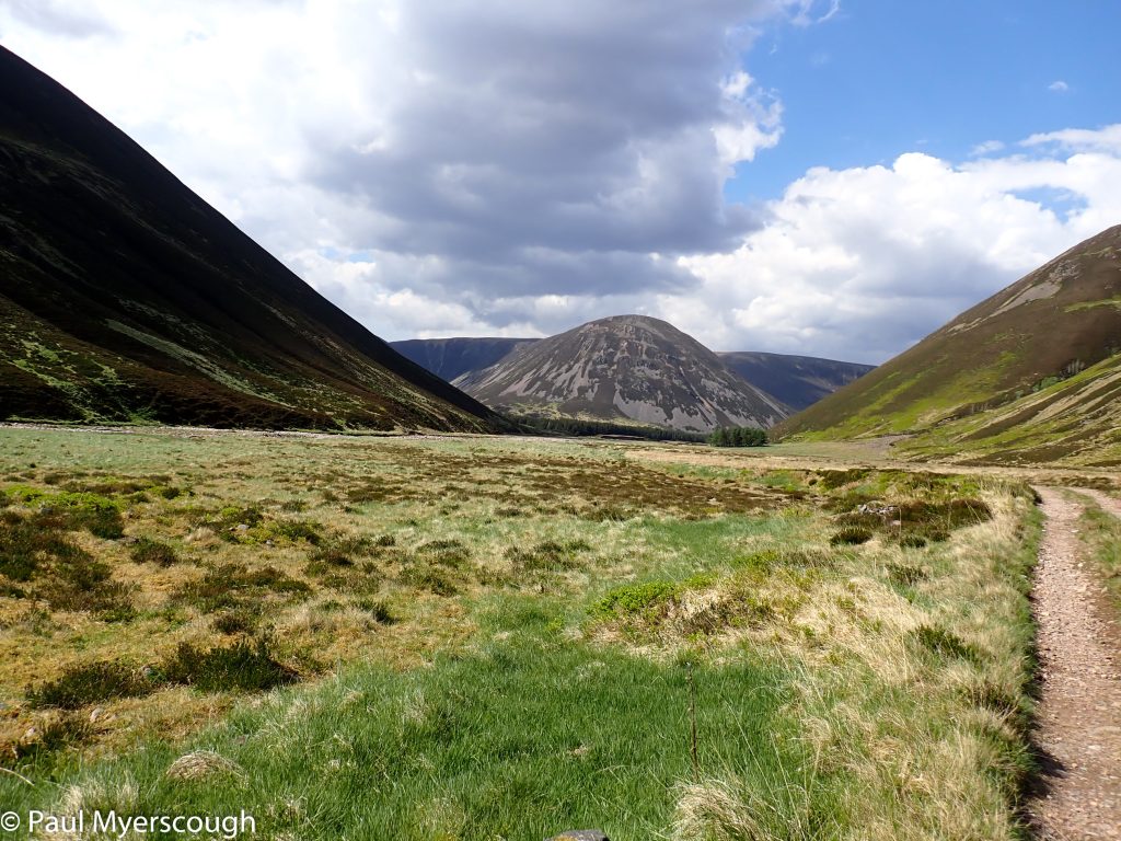
Sgor Dearg
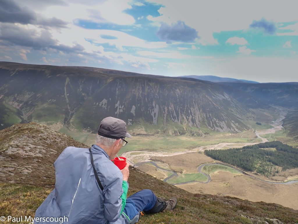
A cuppa on the edge
The track start easy
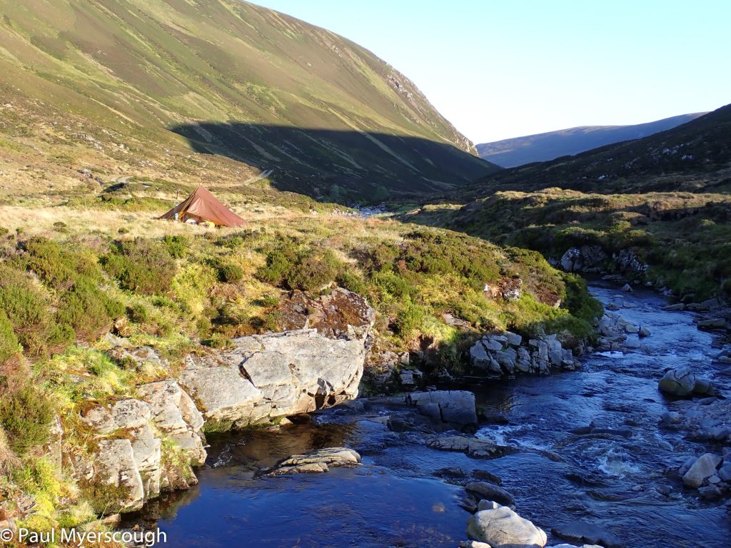
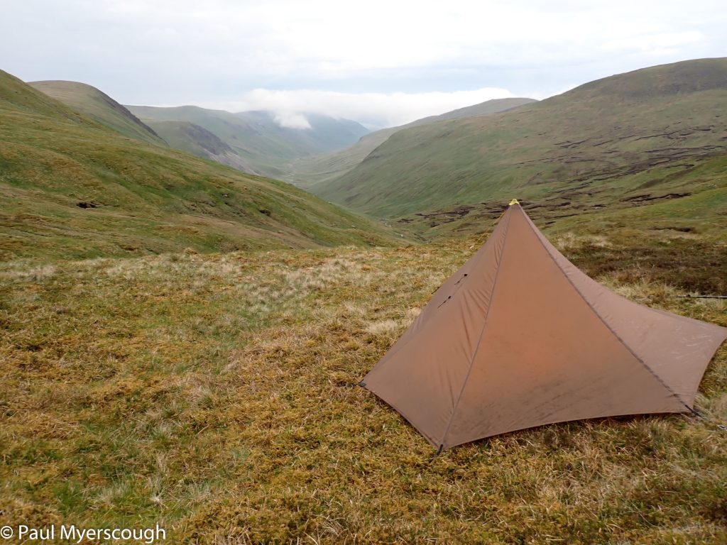
View from the tent
Sgor Dearg on the left to Gaick Lodge
Gaick Lodge
Awkward sloping ground with animal paths
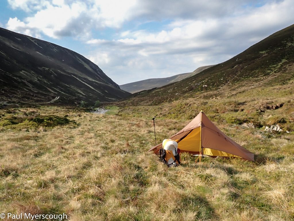
Uneven ground spoils the pitch!
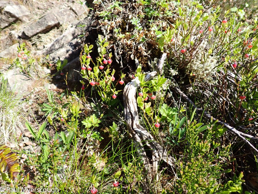
Unripe blueberries - not quite tempting
The aquaduct Dalwhinnie
Bruar Lodge 5km down there
Pathless higher up the glen
The path down to the river crossing Gaick Lodge
Top of the track Chuaich with Peter resting
That's the way!
Track east from Loch Chuaich
Traversing awkward sloping ground in the higher glen
The head of aquaduct Dalwhinnie
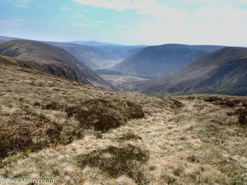
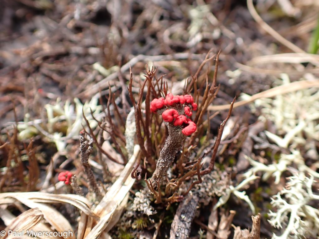
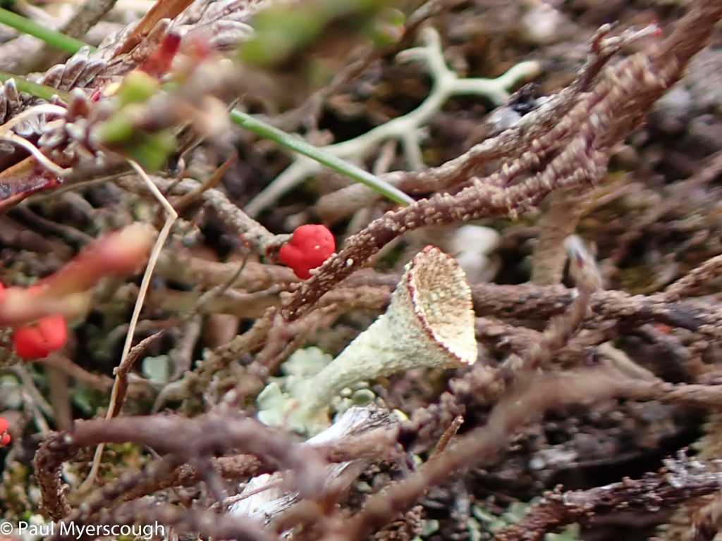
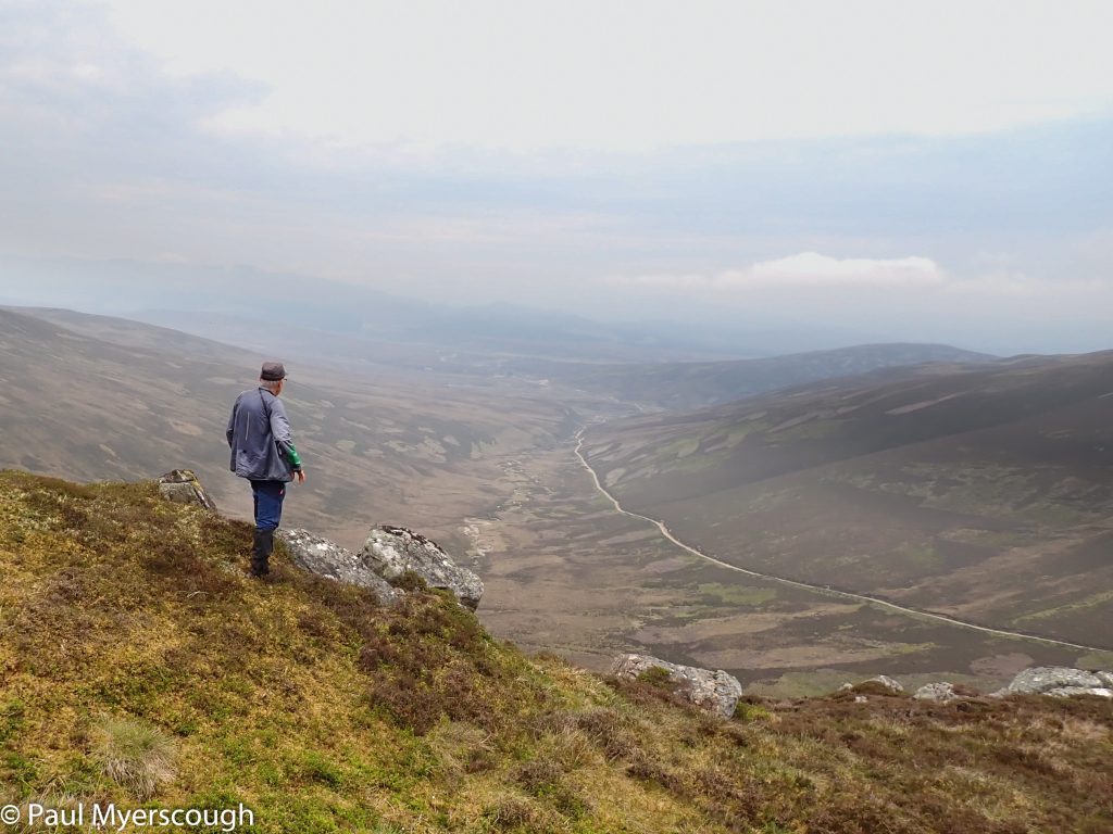
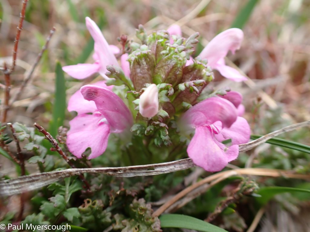
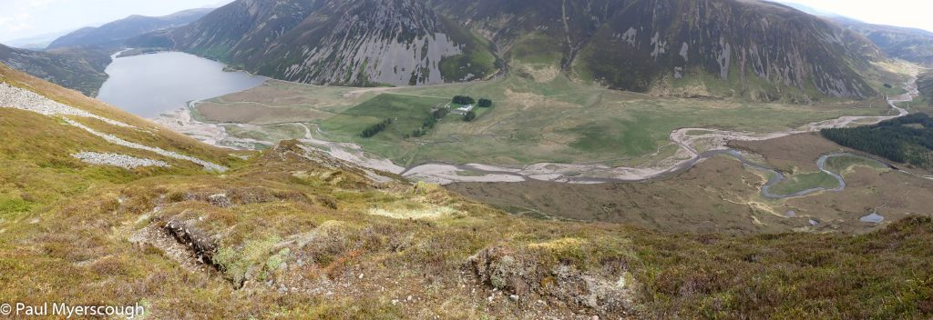
The zig-zag path leads to a high plateau, grassy and featureless. It is about 2km to the other side. It seems long, and I am impressed by my previous crossing for which I had a companion, but was done by compass in cloud. Game birds rise in the air as I tramp across; and there is curious red and white miniature fungus blooming among the heather. From the far edge there are dramatic views of Gaick Lodge and the Glens below. After a cuppa I head down the steep path and change my shoes for crossing the river.
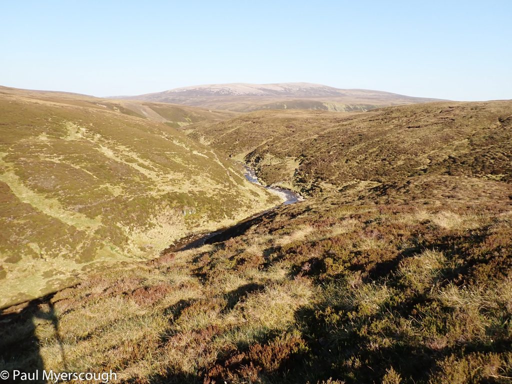
The route eastwards started with a good path, but this becomes faint and is probably used more by wildlife than people. As it gets higher there’s tiresome sloping ground to traverse until nearing the wide watershed at about 700m. On the east side there is more a of path but, being far from straight , the time to reach my planned camp spot at a watery T-Junction of glens (above Bruar Lodge) is long.
By 7:30 I had my tent up after a very long day. The land had looked flat but, hidden by grass, it is rutted by vehicle tracks. Despite being exhausted the uneven ground make for an uncomfortable night.
I knew what awaited me in the morning.


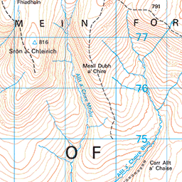


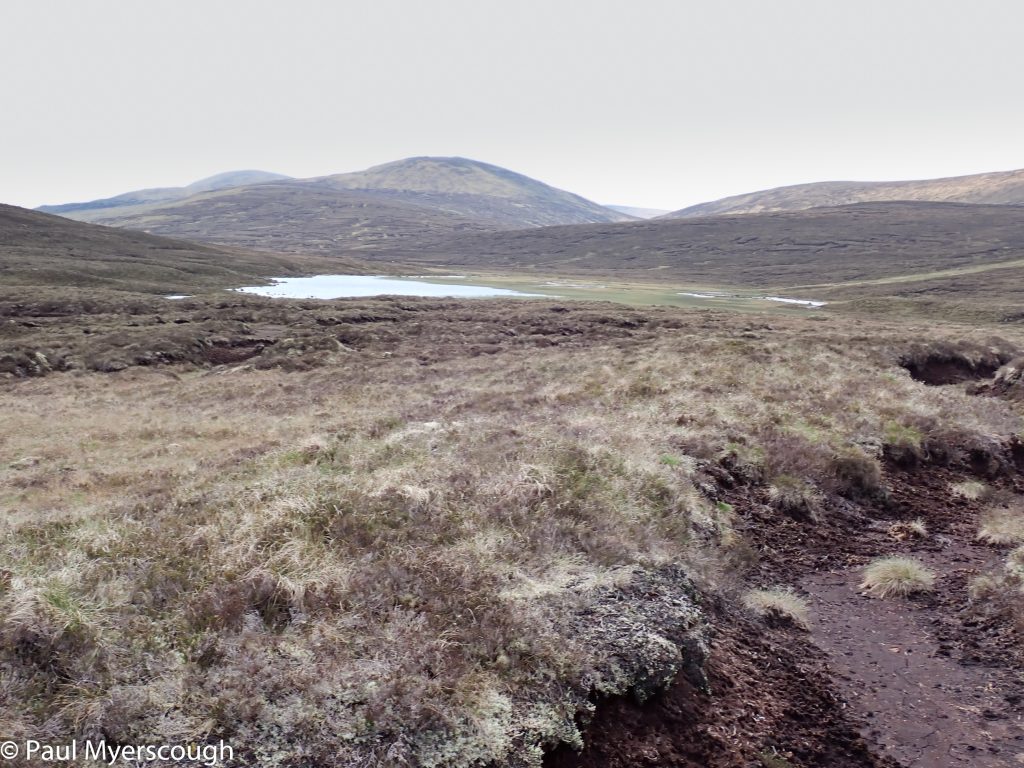
The start was similar to the previous day, pathless with the awkward sloping ground that forms the sides of ‘V’ shape valley with the stream in the bottom; but soon I was in reach of the watershed where the terrain levels out. On the map it is almost flat with just a gentle gradient here and there. In reality of course, without a path, even a clump of heather can be a tiresome obstacle; and deciding which line to take to avoid unnecessary effort became a major preoccupation. The first 8km today took 4 hours!
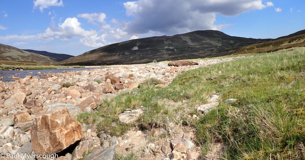
Tarf Water is wide and shallow and it is difficult to decide whether to follow the bank or to cut across the bends.
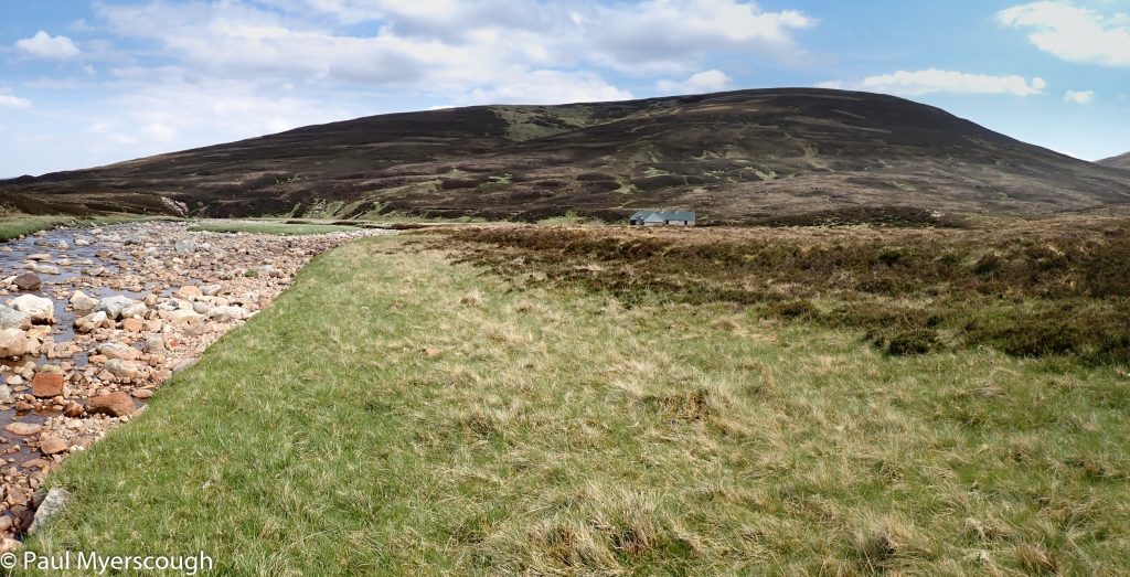
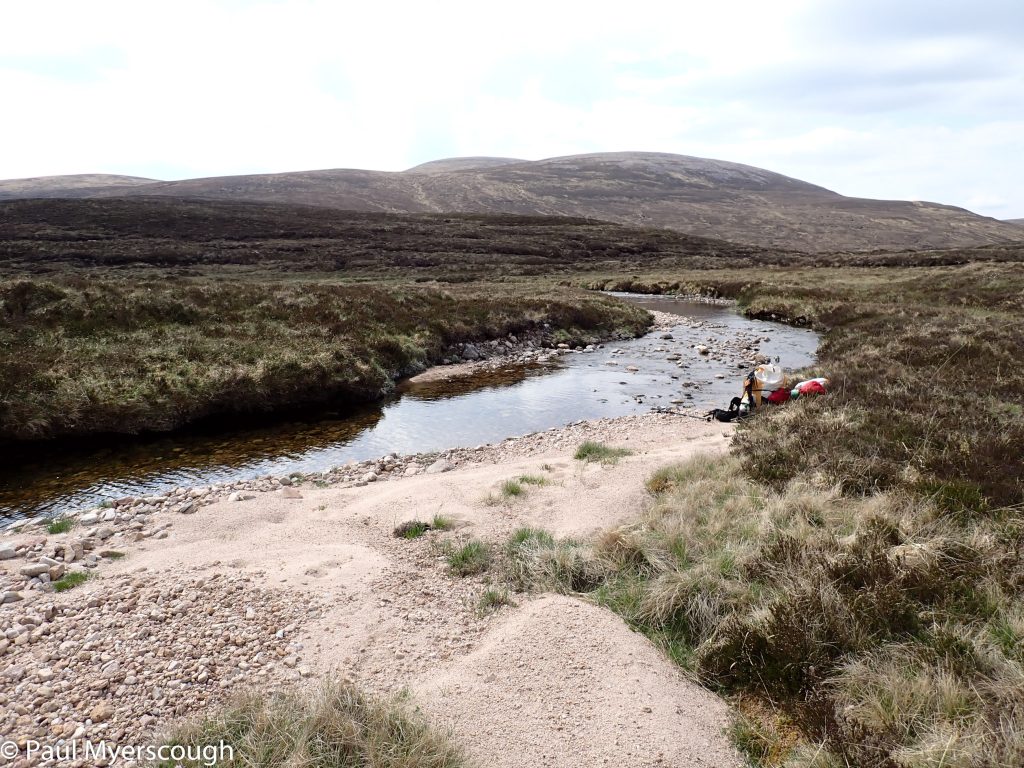
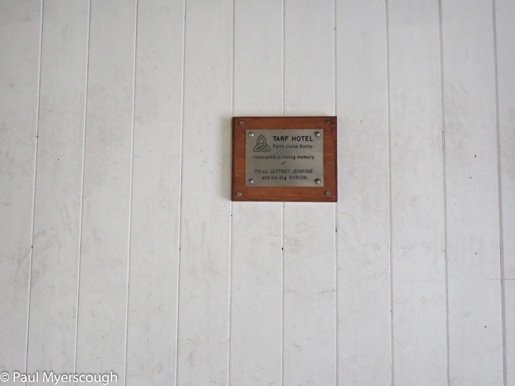
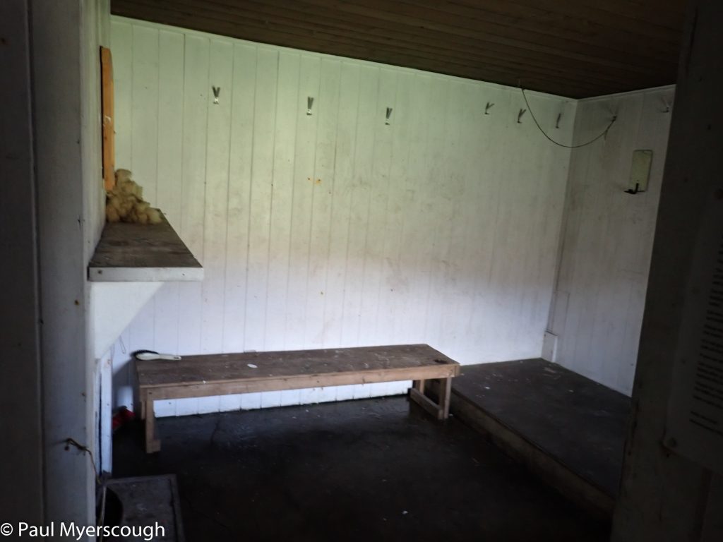
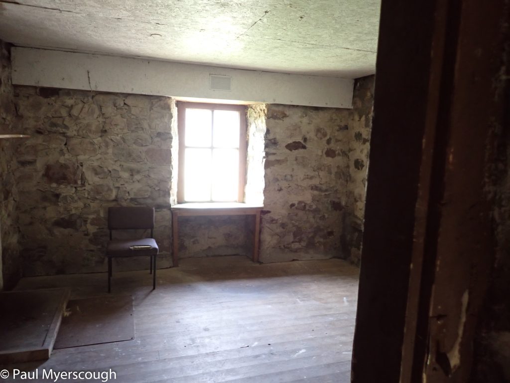
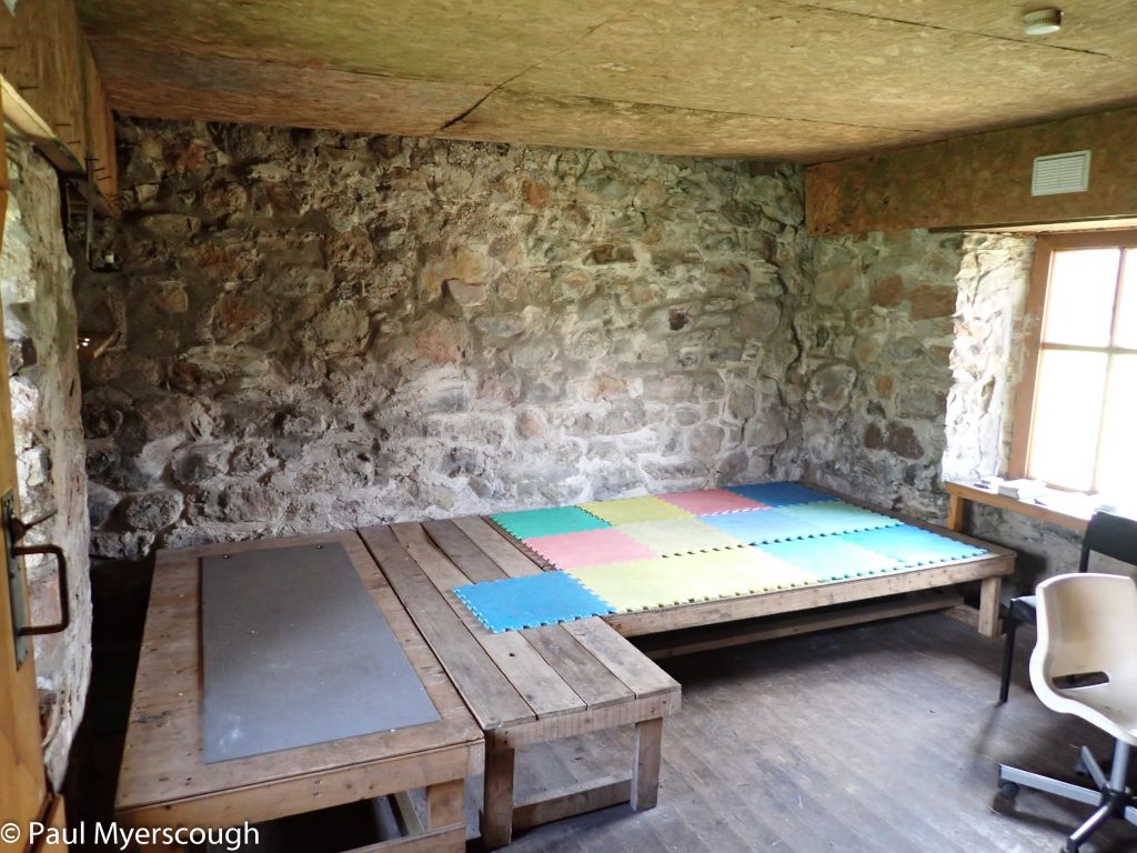
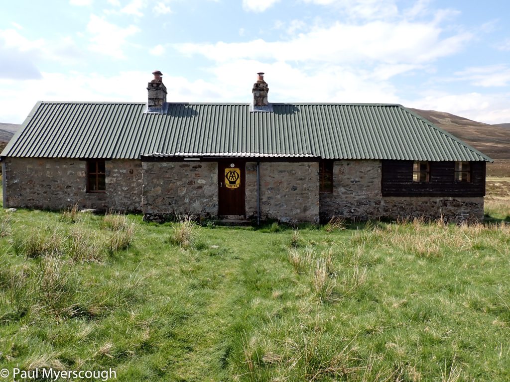
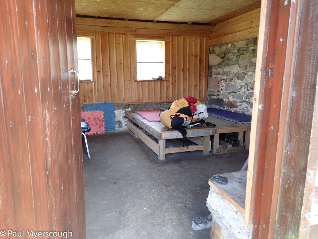
One of the reasons I took this route was to investigate The Tarf Hotel, a bothy well away popular walking paths. After about 12km I reach the empty building. There are three adjoining dwelling spaces all clean and in good condition, recently renovated by all accounts. It was not clear when they last had visitors; and no obvious sign of TGOers this year.
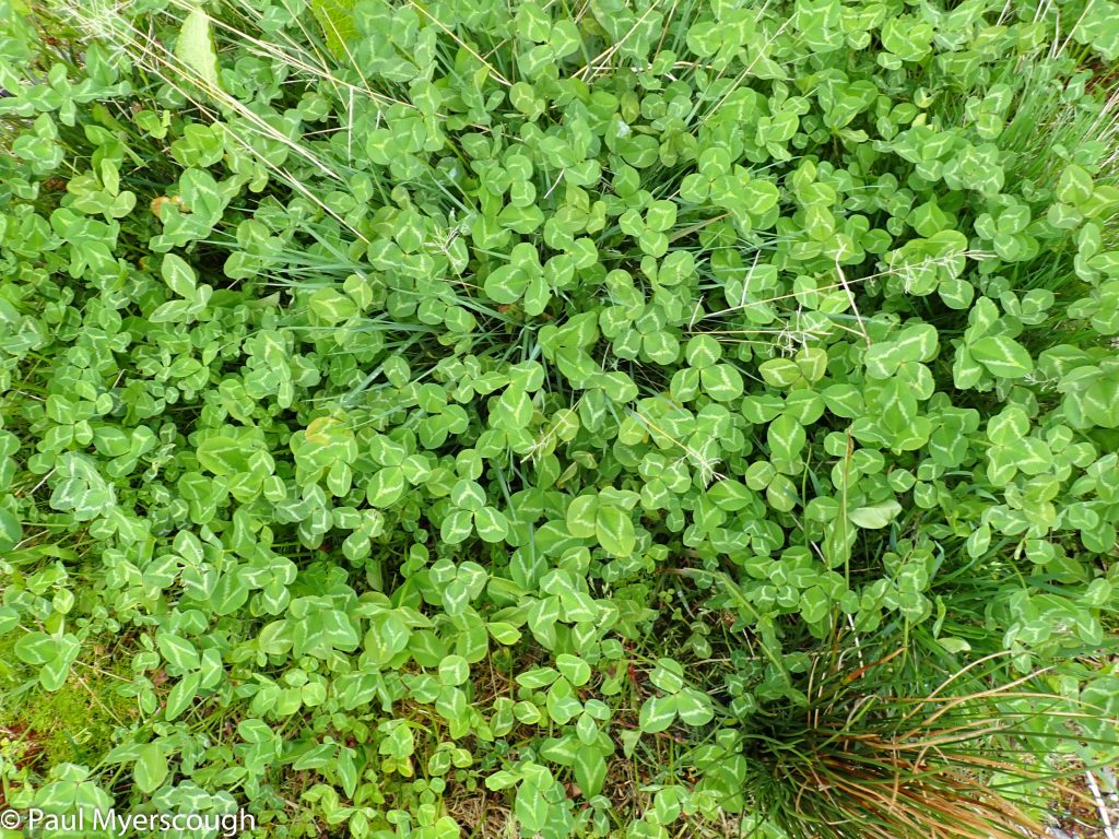
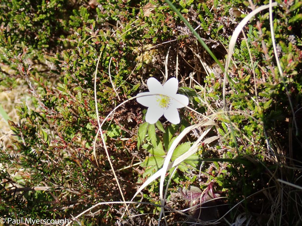
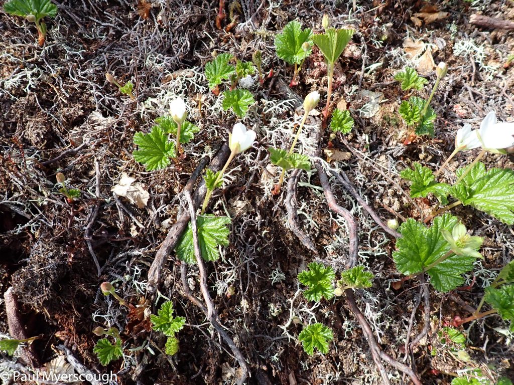
Leaves from cloudberry plants?
Ground levels out at the watershed
navigating to avoid extra effort becomes a preoccupation
Wide bed of Tarf Water with The Tarf Hotel bothy
Tarf Hotel Bothy
Tarf Water shelter - north or south?
A last look back on the long crossing from Dalwhinnie
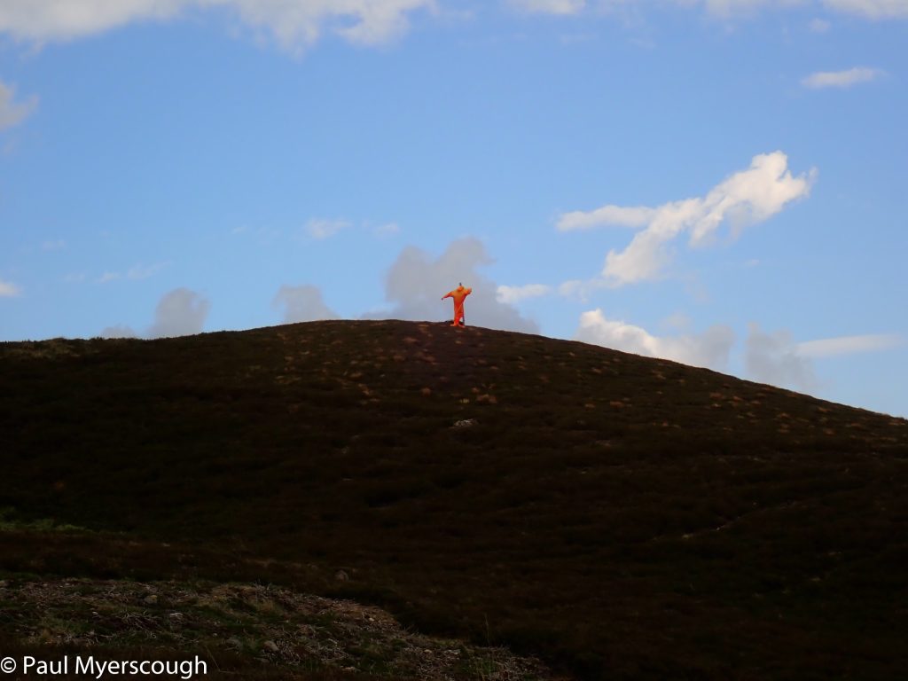
A watcher on the hill!
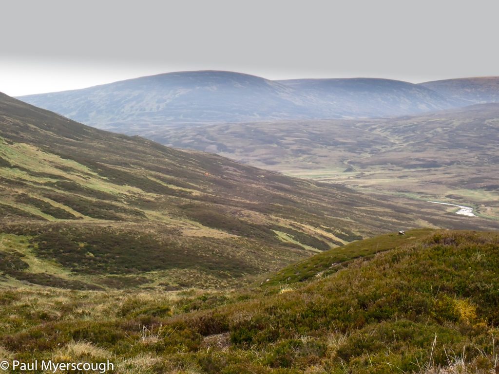
Tomorrow's route to Beinn A'Ghlo
Bridge across River Tilt
Camping in Glen Tilt - looking east
Camping in Glen Tilt - looking west
3km further on marks a decision point. North via Tarf Falls towards Loch Tilt on my FWA; or south to a bridge over the Tilt ready to tackle Beinn A’Ghlo in the morning. By the time I reach the shelter where the path divides I have decided to head south. Walking up the track, I have is a strange feeling I am being watched; someone in a high-vis jacket is on the hillside above; as I get closer I see they are waving. Even closer and I can see it is a human shaped bag inflated by the wind, probably to scare predators.
By the River Tilt there are two or three tents already set-up for the night, and on the track I bump into Graeme D again last seen at Dalwhinnie. He is going the opposite way to me intending to stop by Tarf Falls, but confirms that my plan to camp across the bridge is a good option.
The sun is disappearing as I pitch my tent and the warm day becomes a cold evening.
At 7:30 I am ready to go. My estimate is 1.5 – 2 hours to reach the ridge lit by the sunshine in the picture above (“Tomorrow’s route …”). My intention had been to cover this mountain the previous afternoon, so I will be playing catch-up again. There’s a group of hill on my plan for today which have featured in my TGO route at least twice before. Both times I ended up skirting around them; will the same happen again?


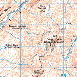


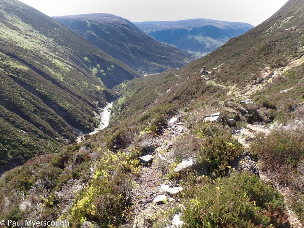
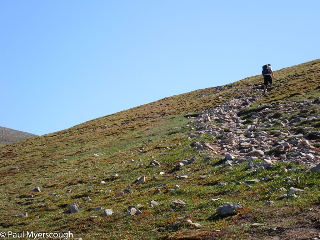
The gulley that leads up is pathless, long, and winding with small stretches of deer trail and steep drops to the streambed below. It take almost 4 hours for me to reach the bealach on the ridge above. Here there is a path and because today is Saturday, there are also a few people grabbing the Munro.

There’s a good ‘phone signal at the top so I can check-in with Challenge Control and call home with updates. The day is bright and clear and the view to the mountains in the west is expansive.

The day walkers go along the ridge and then back again; it hard not to feel smug about walking past them further down the ridge and then to the glen below. The end of the ridge was my planned camp spot for last night, but now I am behind and I find a more direct route, down the east side of the ridge helped by the contours on the map. This Glen is called Glen Loch. Not surprisingly the loch in this glen is called Loch Loch. No sign of a path in this glen!
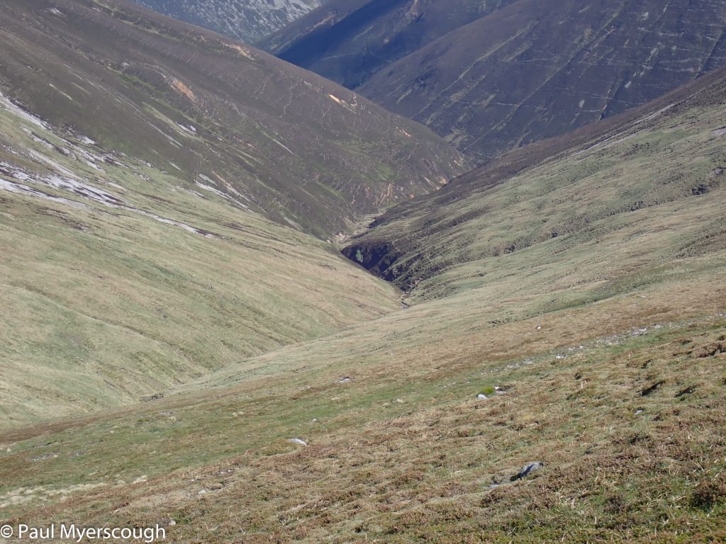
A hidden valley leading to Beinn A'Ghlo
not a real path
Scrambling up Glas Leathad
The ridge path at last!
Looking back down the hidden glen
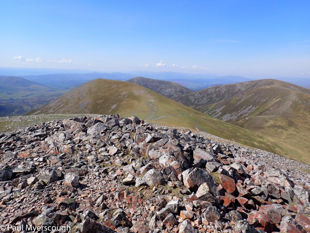
Carn nan Gabhar at 1120m
Carn nan Gabhar
Looking west over the previous day's route towards Dalwhinnie
Western panorama from Carn nan Gabhar
Meall a' Mhuirich, Beinn A'Ghlo secondary top 898m
Carn an Righ, target for the afternoon
Carn an Righ panorama with Loch Loch from Meall Gharren
Preparing for the descent to Glen Loch
The outflow from Loch Loch
The 'lovely' Gleann Mor
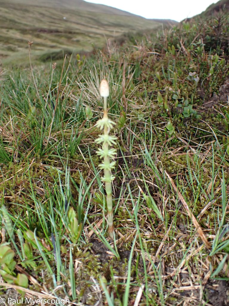
horsetail
Loch nan Eun
Looking south ftom Loch nan Eun
South towards Spittal of Glenshee
My vetter recommended Gleann Mor as an alternative to the tracks via Fealar Lodge which I have followed a couple of times before. This cross-country amble looks attractive on the map, albeit another long bundle of kilometres without a path.
The ridge at this point is 700m high and the stream down in Glen Loch is at about 450m, so the drop is not too drastic. The climb on the other side likewise is not too challenging, although finding the best line between the ranks of heather is a test. It is 2 or 3 km to reach the high valley of Gleann Mor and Carn an Righ with its grey screes is a giant mass to be circumnavigated. It is now mid-afternoon. Thunder is echoing around the hills in the distance and getting closer. There is rain in the air.
It is easy to forgo the tops I had planned; the glen is pleasant and the route clear, but the going is rough and tiring. At the head is Loch nan Eun; I’ve been here before and I don’t expect to pitch my tent at such a desolate spot. On the map it looks more inviting in the next glen below Beinn lutharn Bheag. This is another long day and it is after 7pm when I reach the Loch; there are two tents here overlooking the water. My choice is to camp here or walk on for another hour or two. The Loch looks grim despite the nearby campers, but it is still easy to find reasons not to go further. I turn my back on the lake and face south, looking down the glen which leads to Spittal of Glenshee 10 km away.
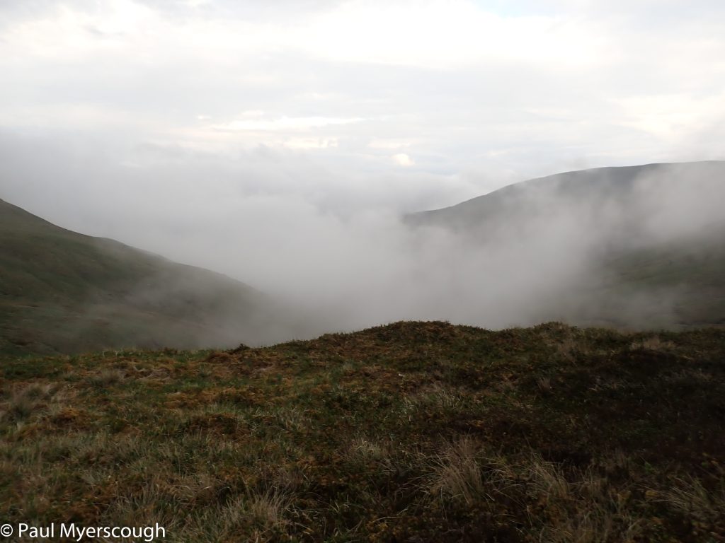
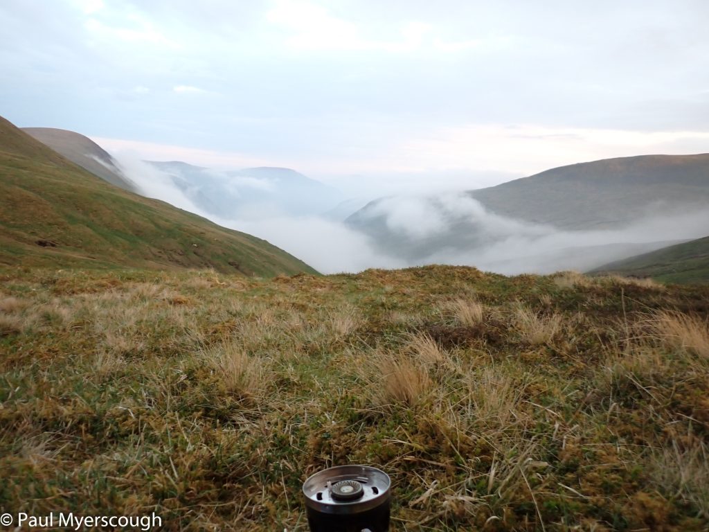
Once my tent is pitched I am treated to an extraordinary display of cloud. It appears in the distance and bubbles up the valley and envelopes me for 10 or 15 minutes before retreating back south again. At over 800m this is a high camp and the evening becomes very cold. There are no trees here and no birds in sight so I am very surprised to find lots of birdshit on the tent when I emerge in the morning.
Braemar is on the cards for tomorrow!
