Click on pictures to view in full-screen. A map can be zoomed using the buttons and dragged within its window.
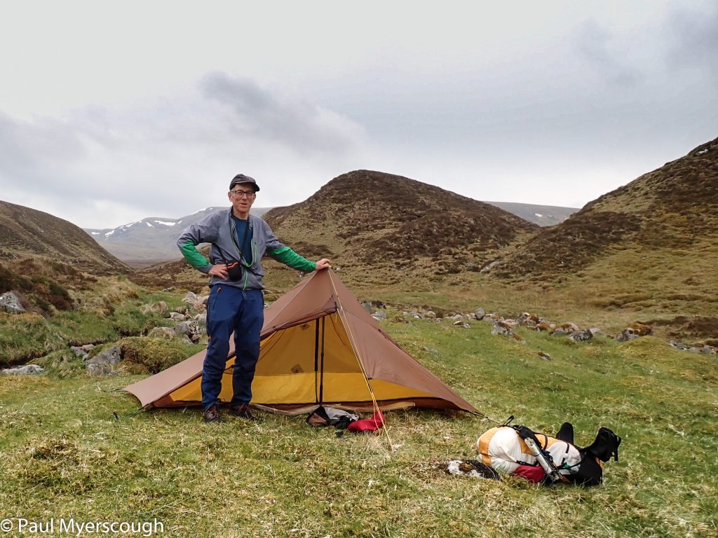
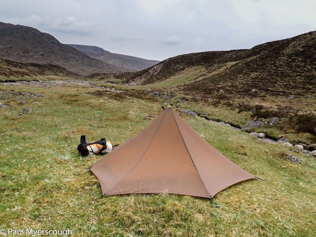
Waking from sleep high on a ridge is exhilarating.
This morning on the north ridge of Sgurr Thuilm I had two challenges in mind. First could I find my way safely and easily down the side, with no path to follow? And secondly how many hours would it take me to get to the camp spot I failed to reach on the previous evening?
The map contours revealed a good line which was proved to be fine underfoot. Below you can see my walking route in red, with the original plan in blue.
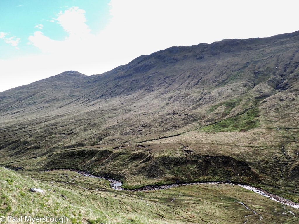
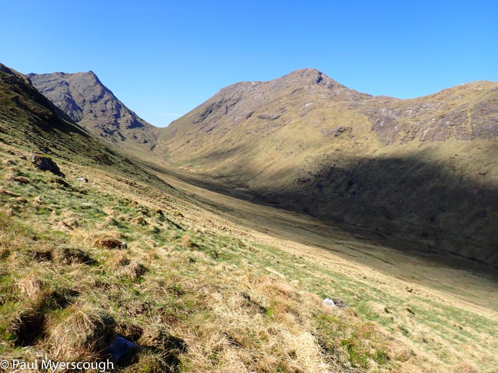
This was Saturday and although it was early there was already a group walking through the glen below. They seemed surprised when instead of joining them along the path I crossed over and headed up the ridge on the other side. The picture shows a track halfway up the slope; unfortunately this does not lead over the ridge.
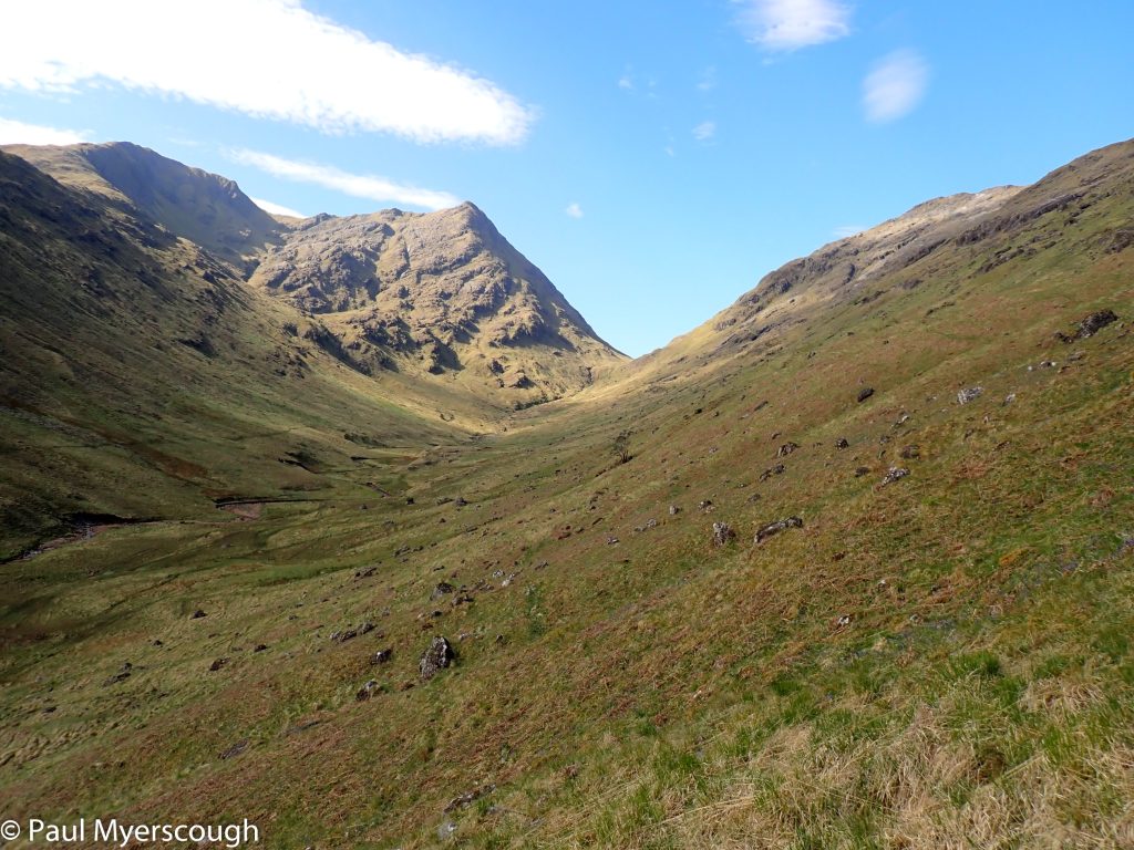
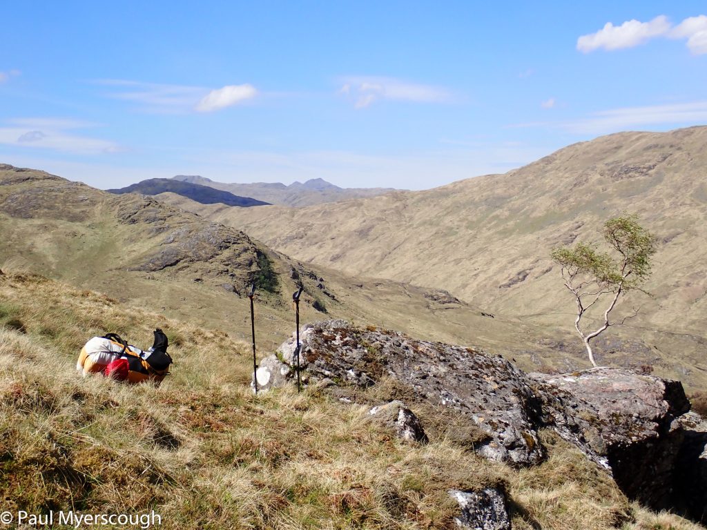
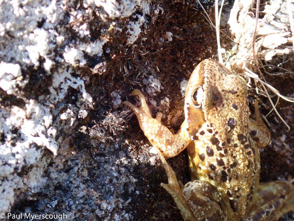
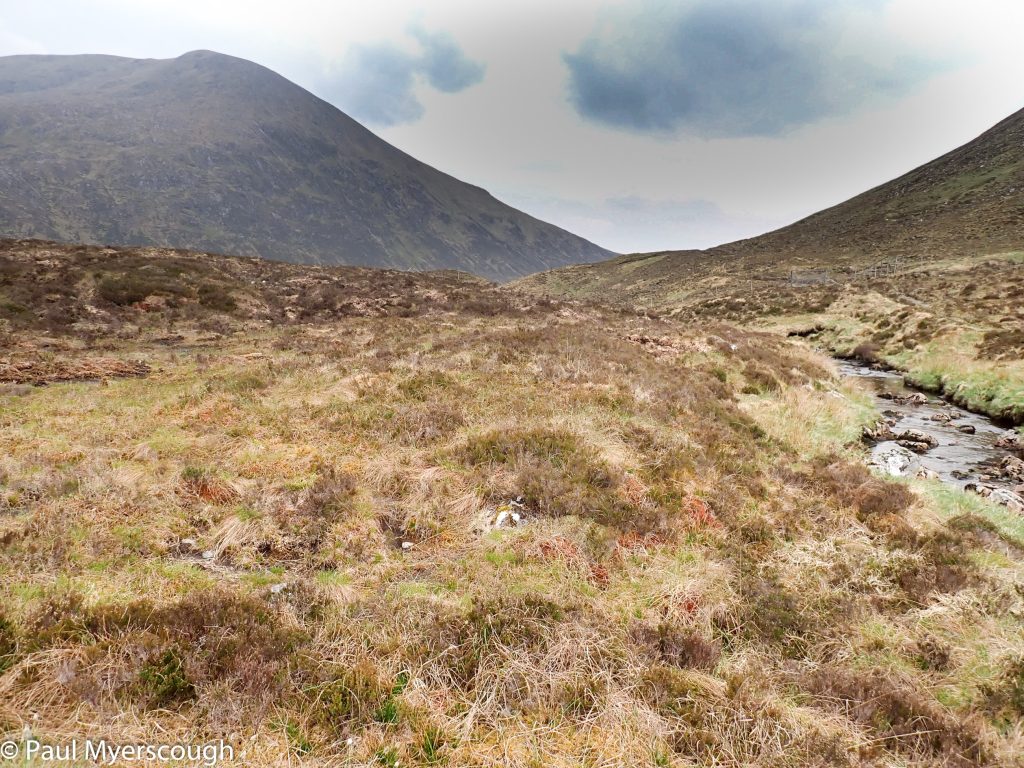
Over the other side a track, unmarked on the map, led me down and along the next Glen to a point where I could traverse across to Fraoch Mor. This is a sort-of hanging valley, made special by the trees dotted across the landscape. Everywhere were frogs. Different colours and sizes.
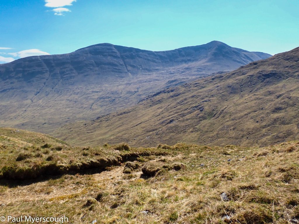
I would have enjoyed a more leisurely assessment of these slope, but I was behind by about 4 hours, and I had a new target for this day.
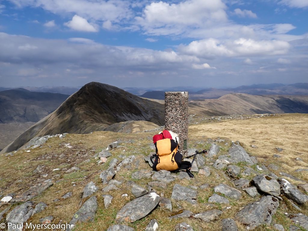
With a side-view onto Gulvain I could see walkers reaching the beginning of the ridge, heading over to the top and then returning. A steep hall brought me up to their level at the south end of the ridge at 961m. Here I was on the makings of a well-used path for the first time since Lochailort. The highest point was at the north end.

From here I can see a fine grassy ridge heading into the distance with a gentle downwards slope. Although pathless this easy ridge would enable me to catch up and my heart rose. For a short while the exhausting climb up was forgotten. Ten minutes later this feeling evaporated. There was a gap in the ridge. A sharp downward slope, unexpectedly rocky, followed by more up-hill.
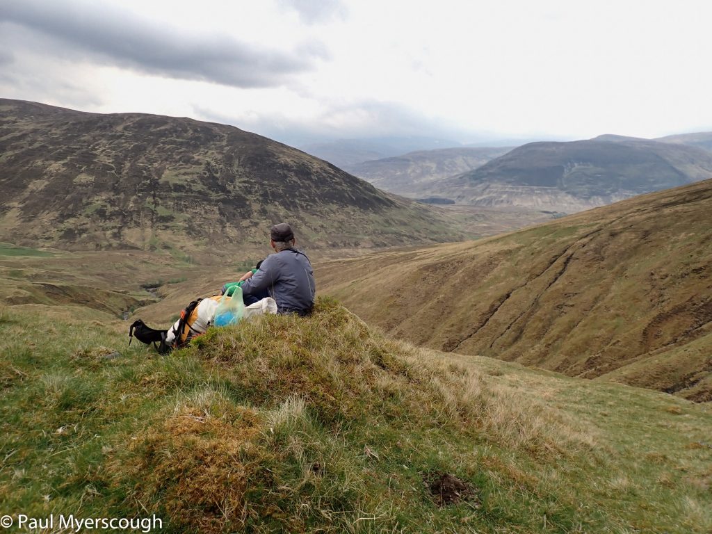
I am knackered; and at 5pm it is too late to take on this challenge. I make a downwards diagonal line east to join the river in the glen below.
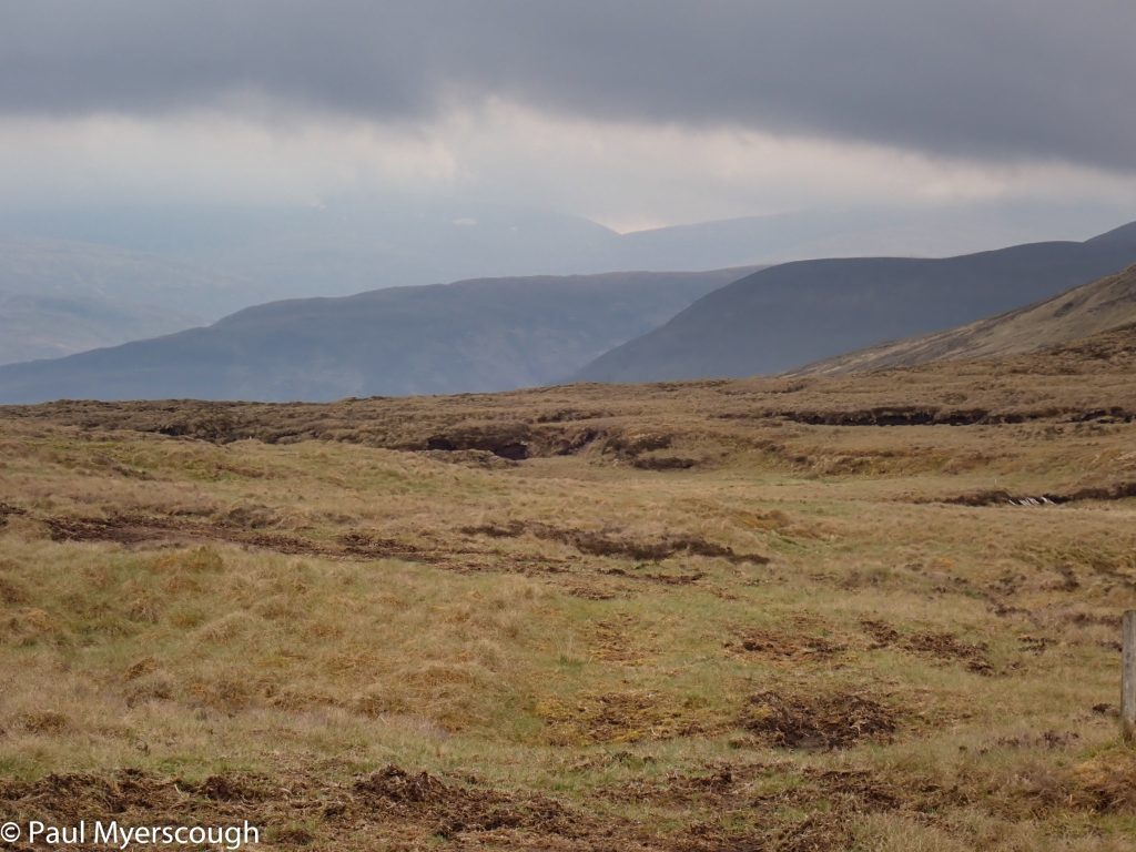
This remote end of Glen Mallie is home to a number of deer. Unlike others I have seen in the highlands these were not grouped in a flock but spread out evenly over a wide area. A deer village where each resident has its own dips and hummocks – mostly in singles but occasionally a smaller animal was present too. The undulating ground meant that they were not in touch with each other by sight and mostly they could not see me either.
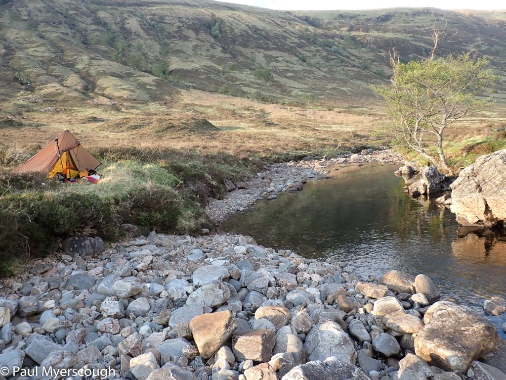
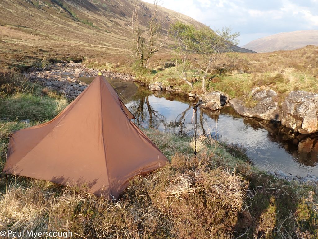
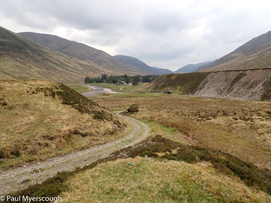
Eventually I join the track, and soon find a level spot, just big enough for my tent. It is right next to a pool and a refreshing dip lifts my spirits. But then Firepot brand Chicken Keema curry ends my improved mood. This is SO bad. It is impossible to believe that the company’s management have ever tasted. Most of the food is left in the heather; maybe some wildlife will find it useful.
I calculate that I am now 10-12 km behind my plan. In spite of this I wake in an optimistic mood. Most of this distance is on a Landrover track. I imagine that by 11 am I could be at my planned camp spot. Today’s route includes four mountain tops. Depending on my progress I could drop two of them and pick up my foul weather alternative (FWA) route to get to The Great Glen Hostel at a reasonable time.
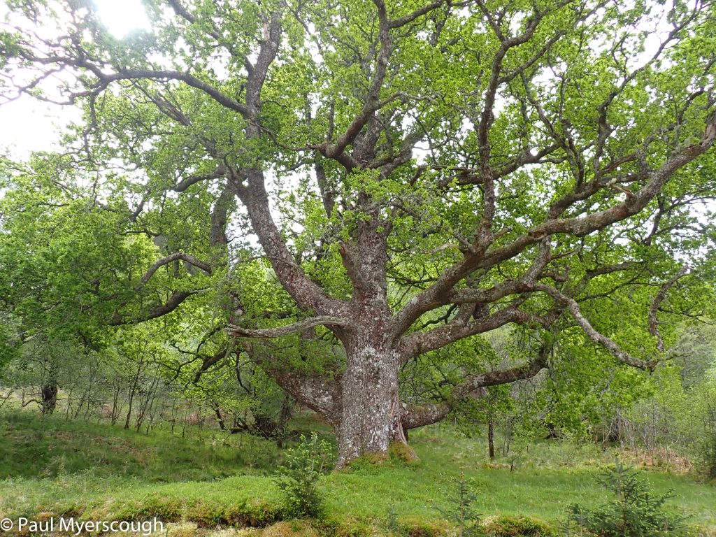
This could have been a pleasant stroll down the Glen but, with my eye on the clock, my head was down and my poles pushing me forwards as fast as I could go. With more time I would have made a diversion to Invermallie bothy where I expected TGOers to have spent the night. My one concession was to photograph an impressive oak tree near where the path diverts in that direction.
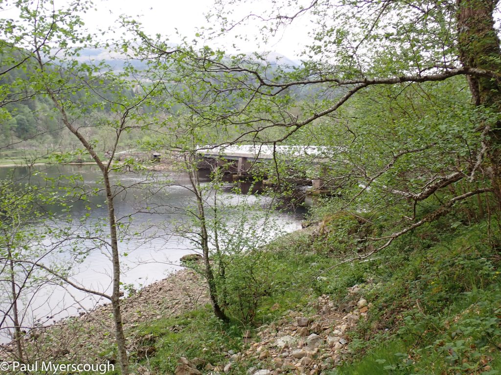
As I came to the end of Loch Arkaig I could see the road and the dam through the trees and I spied a figure stood there adjusting their pack. A TGOer? I took a picture and rushed along to compare notes.
This was indeed a TGOer. James, having walked along Loch Arkaig was now heading for Ben Nevis. It is quite bewildering meeting someone on the path who has just come from somewhere quite unconnected with your route. I had no concept that I was anywhere near Ben Nevis. James left me sat on the wall and along came Mike Snipe who was looking forward to a beer in Fort William.
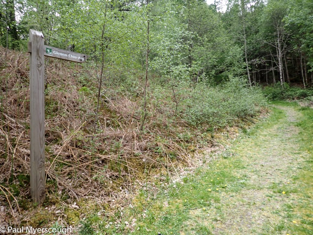
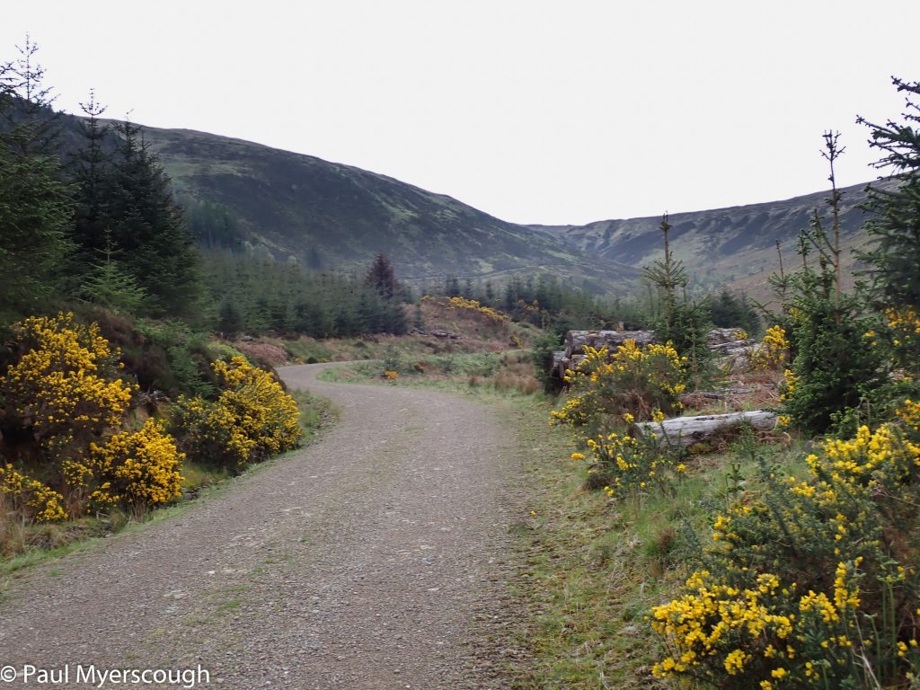
I was happy not to be following them on tarmac despite James’ description of my route in Glen Cia-aig being “wet and a bit grim”. The path starts by some picturesque falls with a small carpark and picnic area. Those walking from their car only went a few hundred metres along the track and very soon I was on my own again.
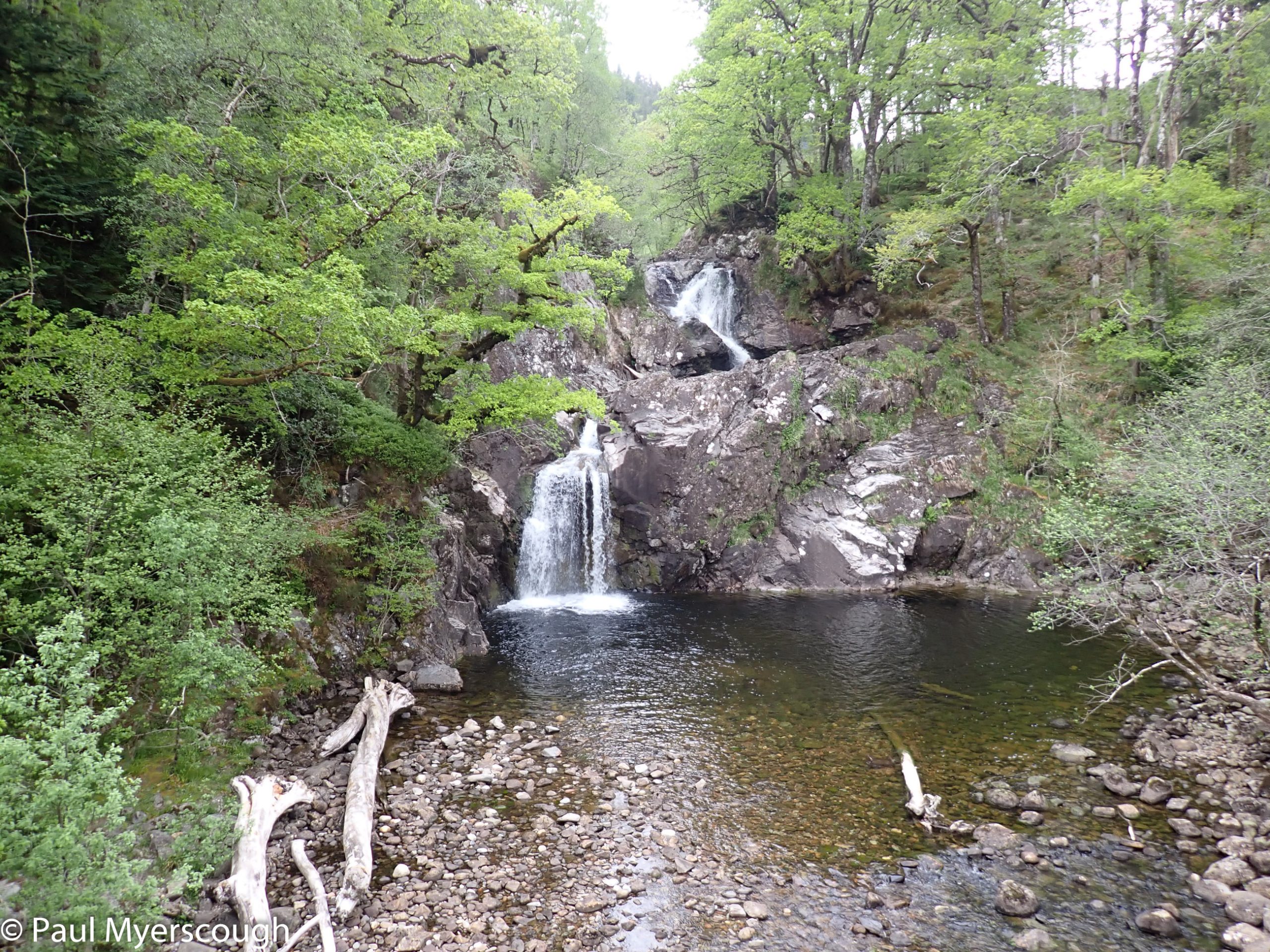
The track starts steep and purposeful. Soon it enters a strip of woodland obscuring progress against the nearby hills. Eventually it emerges on the other side, by a gate, and disappears from view. This has become another one of those routes that only become visible when observed sideways-on with half closed eyes. Beyond the woods I satisfy myself that my previous camping plans were a bit optimistic. The ground is rough, and it is fully 18km from where I actually spent the night.
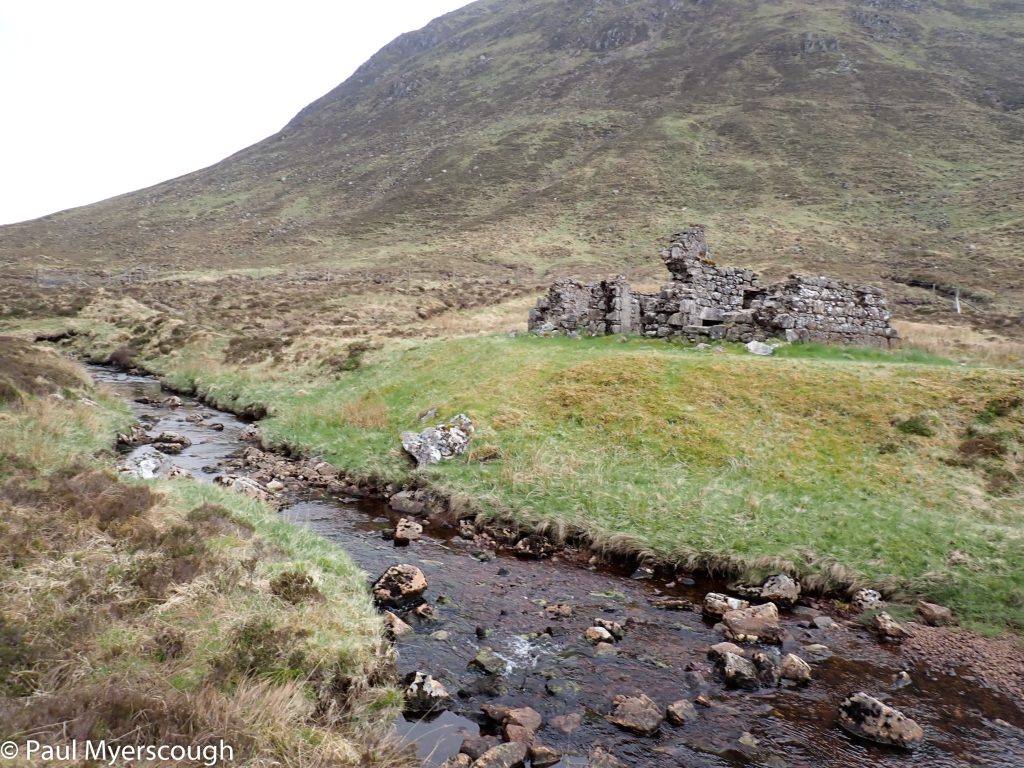
A bit further on by a ruin marked Fedden on the map there is some level land which might have been OK. It well into the afternoon when I reach here and the view over to the gap between the hills that was my FWA route. There’s some pathless heather-bashing until I reach the makings of a path which will take me through to the shore of Loch Lochy and Laggan Lochs.
It was almost 5 when I reached the track in Laggan Forest. Joining the Great Glen Way there’s just two more hours of walking to the hostel!
I had visited the Great Glen Hostel before; it seems strategically positioned as a TGO resupply stop. There are 3 other TGOers there, and the opportunity for a welcome meal. By 9 o’clock all the staff have left and a latecomer looking for a room has to go without.
For me, the only way to go from here is across the road and up the steep forest on the other side. I found my fellow TGOers had other plans and so I headed up on my own, towards Glen Turret, with Creag Meagiadh as the target for the day.
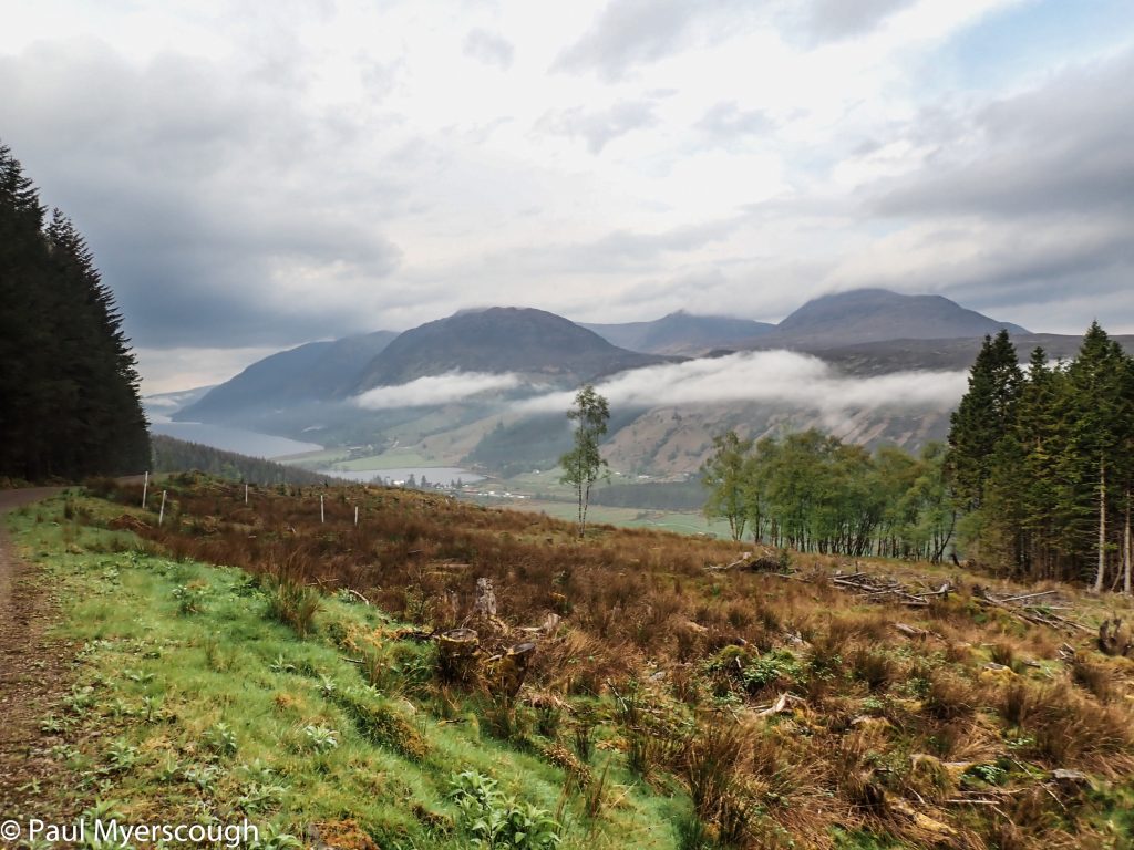
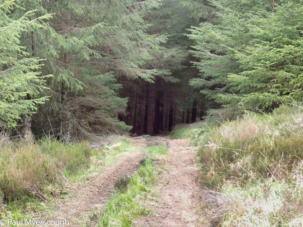
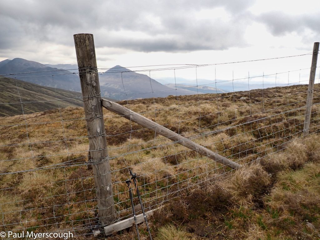
The route over starts on the zigzag forest track shown on the OS map but, before long, it is necessary to take a line up to the top. It is always pleasing to see a way through on the ground not present on the map, as it was here. The fence near the highest point is very clear on the map, and without an obvious way through a climb is necessary.
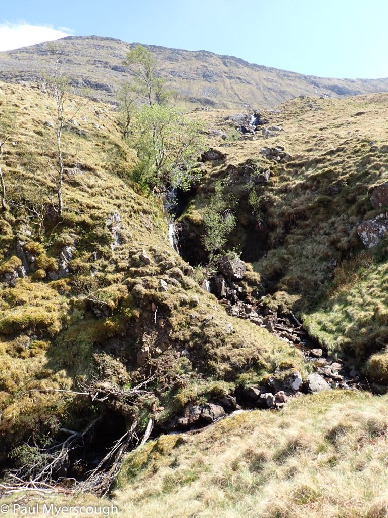
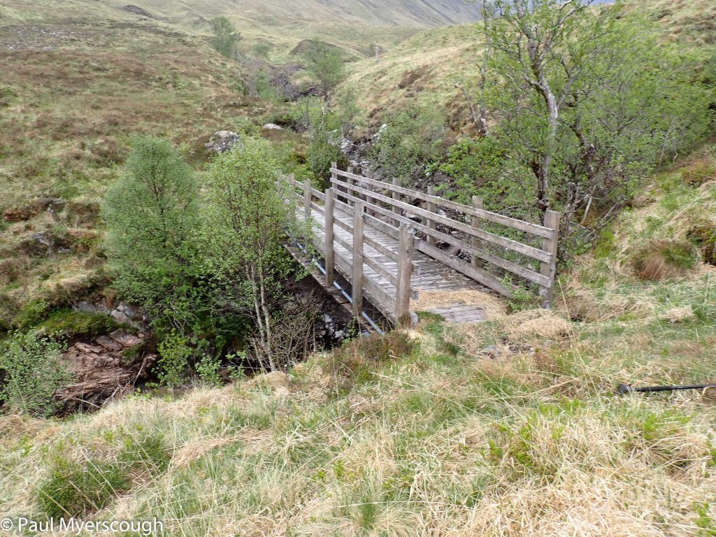
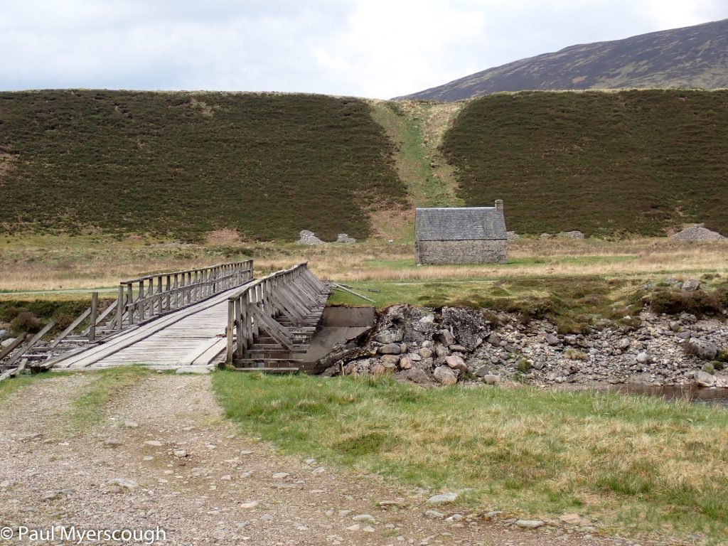
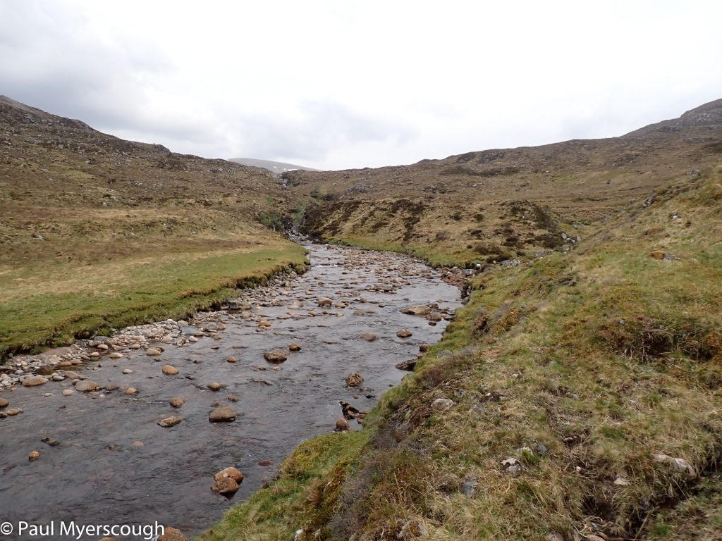
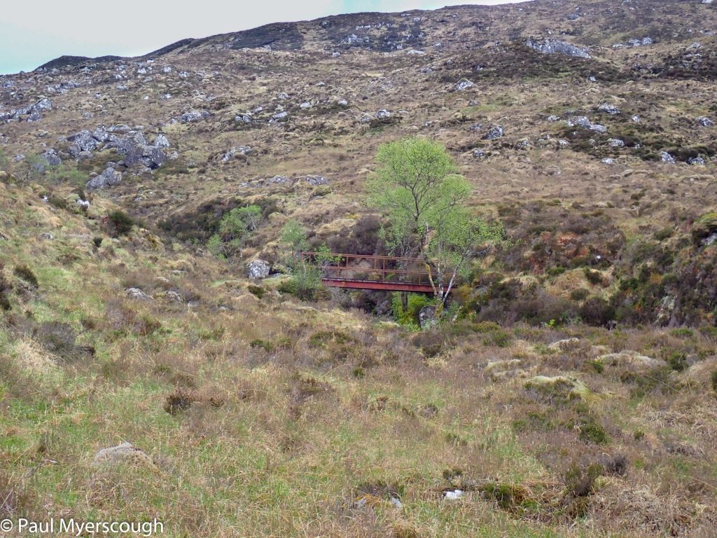
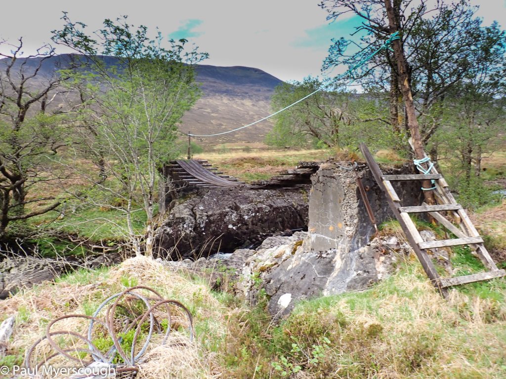
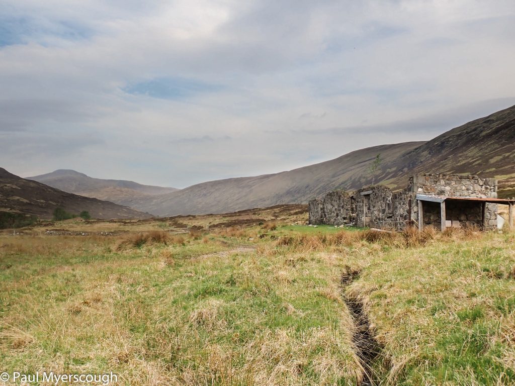
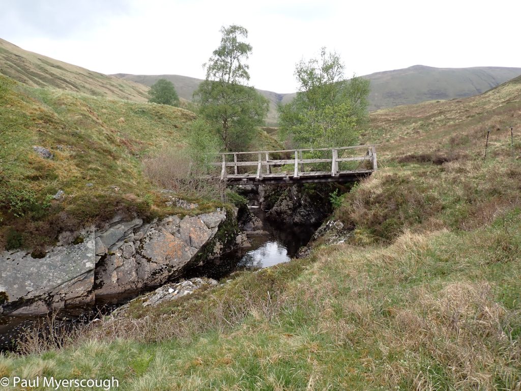
Glen Turret is an off-shoot of Glen Roy with its famous ‘parallel roads’ left by a retreating glacier. It is best to land on the east side of the river Turret. The picture above shows the deep defile the river follows making a crossing without a bridge difficult. I made this mistake in 2015. Although I made this mistake again in 2024, on this occasion I found an unmarked bridge in a dip, out-of-sight. It was a dilapidated, but nevertheless solid enough to use, and it saved a diversion over rough ground to Turret Bridge. It lines up with a ruined chimney which is very visible above the eastern bank of the river.
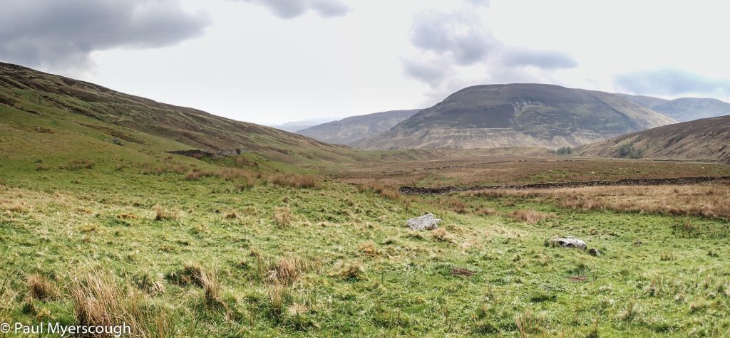
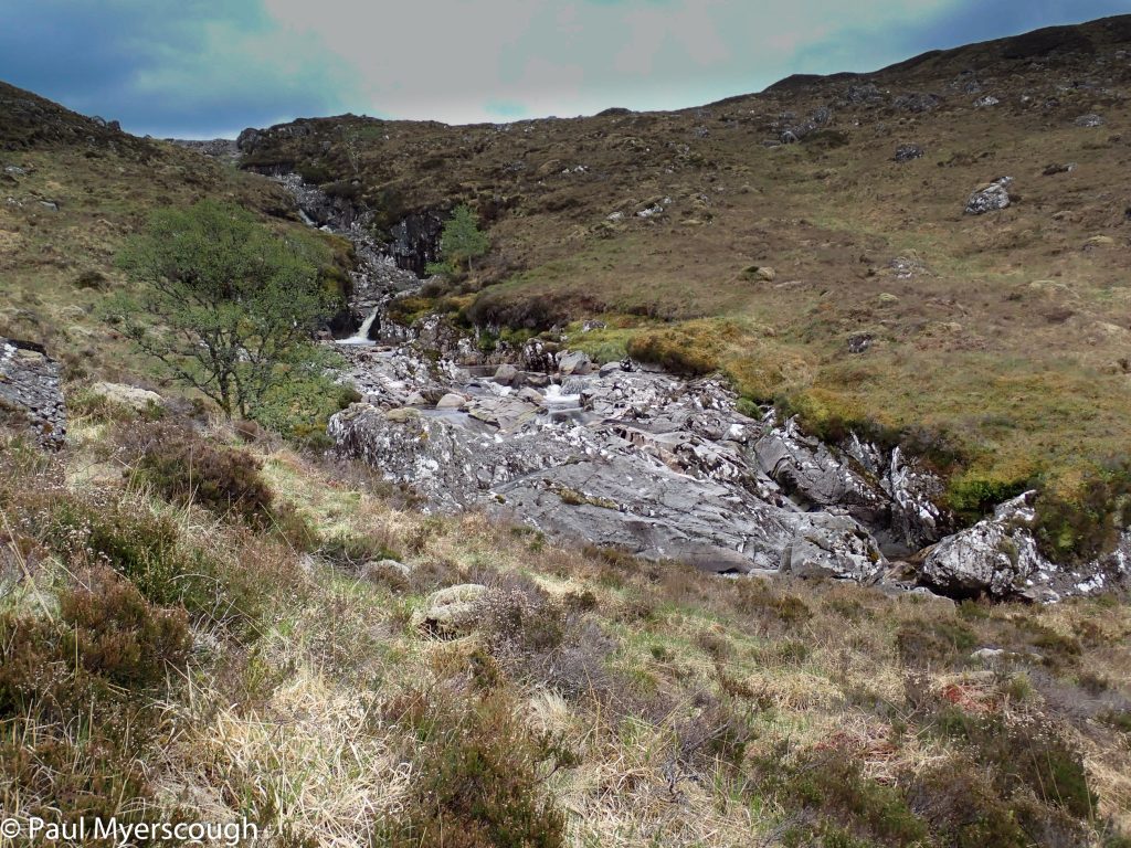
Annat is a poor-looking lodging with a small cultivated garden. I was last here in 2015 when it was filled with flowers; this time just brown soil. The stalkers’ path leads up alongside the Burn of Agie to the striking Dog Falls. As these come into sight the path switches to the other side of the river. I spend 30 or more minutes working out how to get across without removing my boots. Once on the other side I am soon reminded of my last trip, when I did eventually remove my boots for the crossing only to find a steel bridge slightly further on.
Beyond the falls the valley widens, and I can see the upper part of the glen with patches of snow and cloud on the top of Creag Meagaidh. The weather forecast indicated thunderstorms for the night and the following morning. I pass where my FWA for the next day heads south. (It skirts all the interesting tops for this part of the walk!).
I continue further, but I am soon tempted to stop while the camping is easy and the weather is fine. I pitch on a small island in the stream.
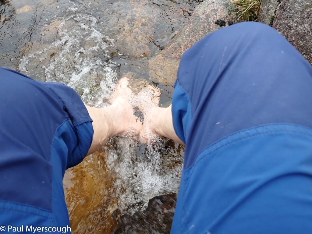
A foot-soak is always welcome!
It rained for much of the night. In the morning the cloud was low and so, with regret, I headed back down to my FWA.
