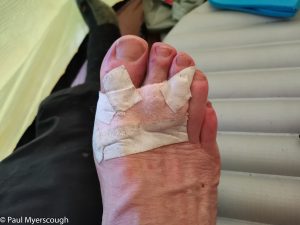
It is rare to escape foot injury on a multiday walk. Some soreness on the top of my toes made me reach for the moleskin which, secured by leucatape, was all I needed.
Download file for GPS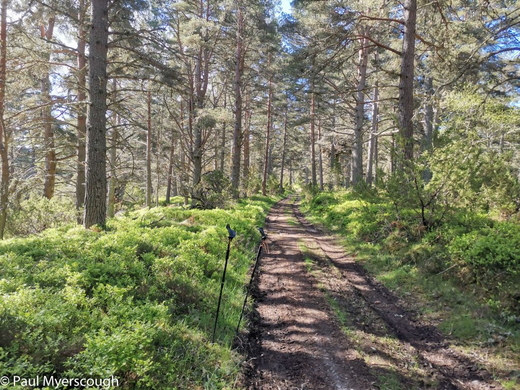
There’s a ridge that begins near Milton and over about 18km rises up to the top of Cairngorm – this was my planned route. On the ground however it was not obvious where to penetrate the forested slopes to gain access.
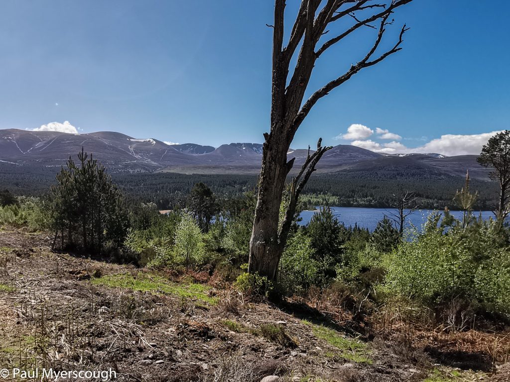
I was camped by a track which would take me to Glenmore Lodge. Here I could join the upper parts of the ridge, and this became the revised plan. The dappled sunshine through the trees and eventual views over Loch Morlich and the higher Caringorms behind made a pleasant start to the day.
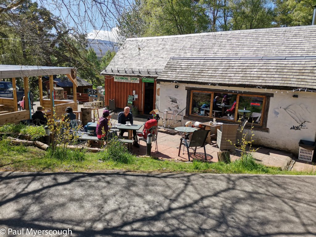
When a cafe appeared at the roadside it was easy to stop for a cuppa with a bacon roll and a cold drink. TGOers Annabel and Keith arrived a little later having set off from Aviemore that morning; then Jim Davison appears. Jim was a co-starter at Archaracle in 2021.
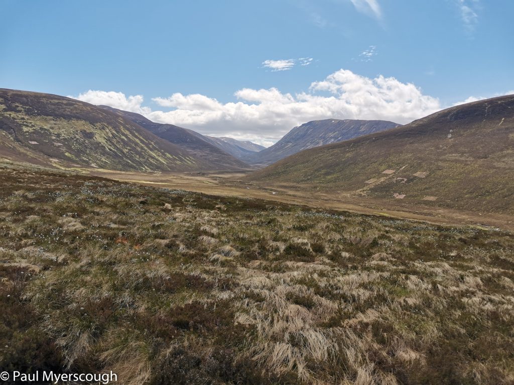
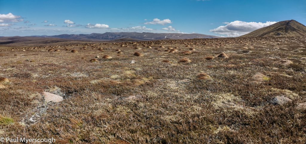
We follow the same trail up beyond Glenmore Lodge via Ryvoan Pass to a bealach between the upper and lower parts of my target ridge. After thrashing around in the heather for an hour I fail to reach the ridge and revise my plan yet again. Initially I intended to follow my FWA along the glen Strath Nethy to Loch Avon by ‘the saddle’. But, soon, ahead of me, was an attractive path rising up the far side of the glen towards the top of Bynack More.
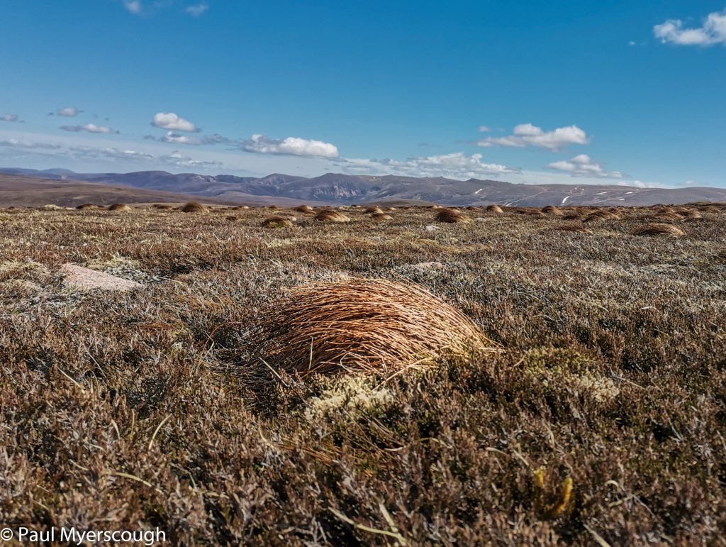
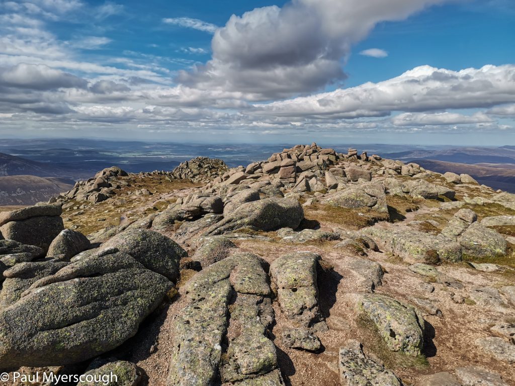
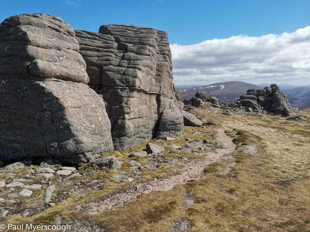
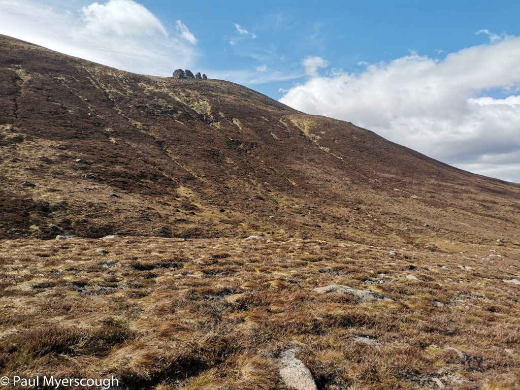
This attractive Munro provided extensive views all arround in the late afternoon sunshine. Granite outcrops – ‘barns of Bynack’ – to the south east of the top provided some interest on the way down to the path leading to Fords of Avon.
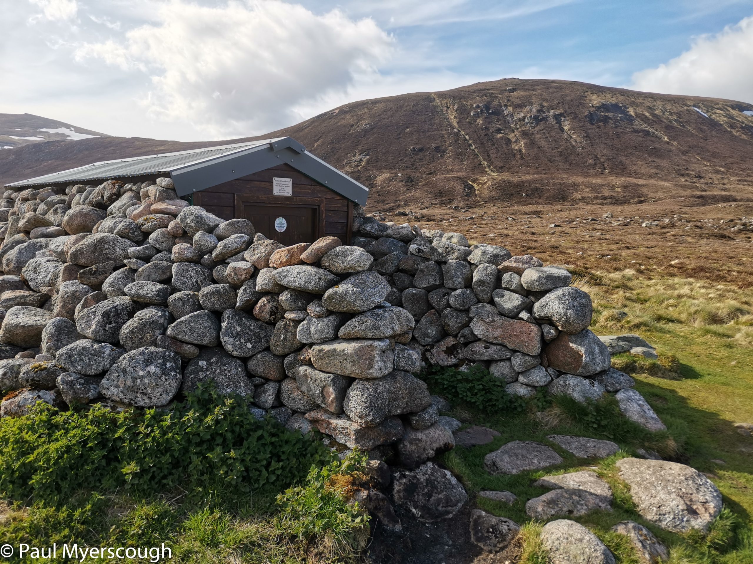
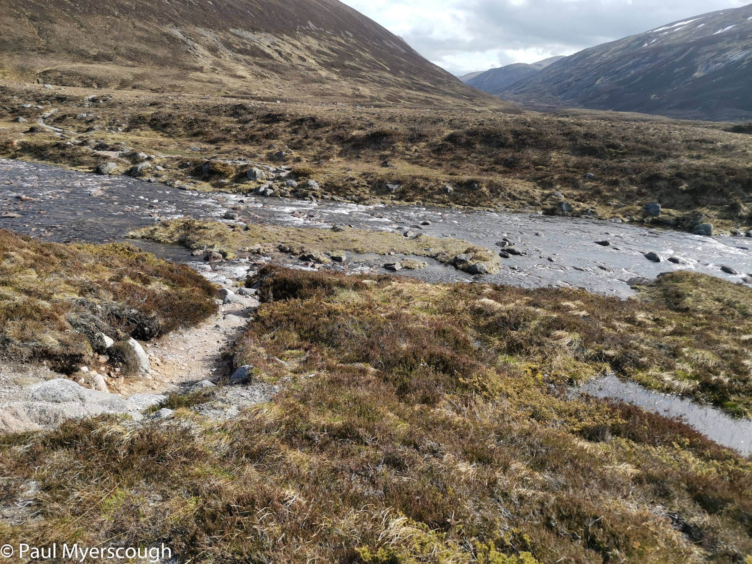
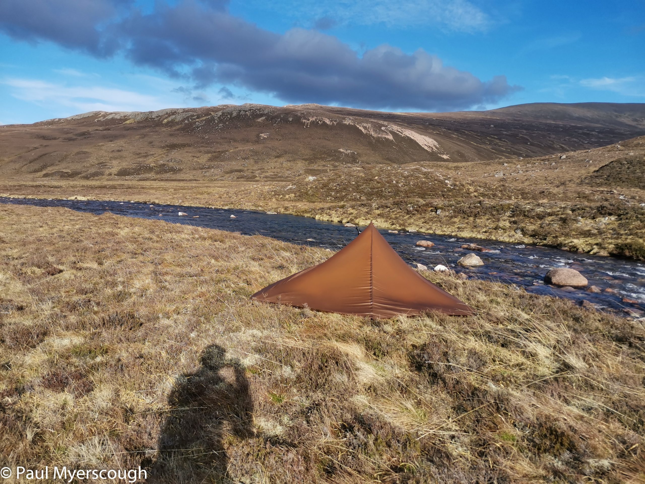
It was ealry evening as I dropped down the side of the mountain to the main path to Fords of Avon. A walker with a big pack moved slowly and purposefully towards me – almost certainly a TGOer. His name was Neil. He was dreaming of beer. And looking for a camping spot. I moved on as he wandered from one green flat-looking spot to another.
The ground east from Fords of Avon is quite rough and not attractive for camping. The wind was still gusty and cold. When tired it is easy to spot some ground which looks good, but obviously is not good when you get the tent out. So it was here. But I survived a night with strong winds and the next day I found that if I’d gone one hour further I would have had fine ground, company and a bothy. Keith and Annabel had camped outside, while there was a couple in one of the buildings and Jim Davison in the other.
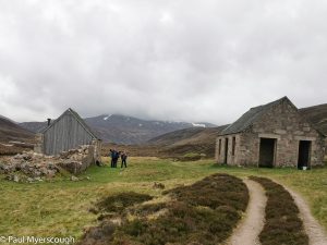
Jim, as usual, had made an early start while the others were still gathering themselves together. After exchanging greetings I heading onwards following the track beside the river. I had a couple of long days at the end of my plan, much further than I was comfortable with, so I hoped to gain a few kilometres as I chased down Jim who had an hour’s start on me.
There were a couple of cyclists using this route to get far into the hills; and also ex-TGOers who wanted a small taste of what they were missing.
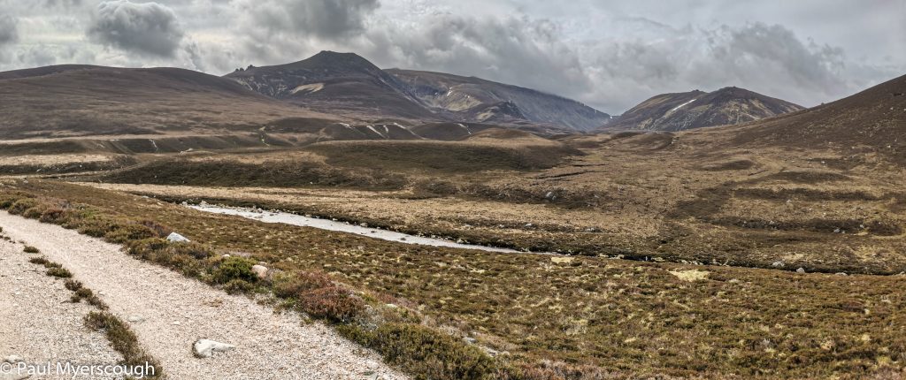
The river Avon heads east from its source for about 20km then, counter-intuitively, heads north to join the Spey at Bridge of Avon. We want to go south and east through Glen Builg. Although there is only a small height increase the change from downhill to uphill over to Loch Builg is surprisingly sapping. This has affected Jim even more than me, and it is just before Loch Builg I meet him.
I had planned to camp near here, but it was still mid-afternoon so there was an opportunity to make up some miles. Jim was hoping to reach Ballater – an impossible target for that evening. We could have had a pleasant stroll together, but my prospective 37km day ahead made me anxious to press on at full speed.
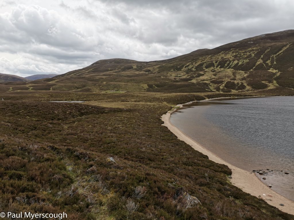
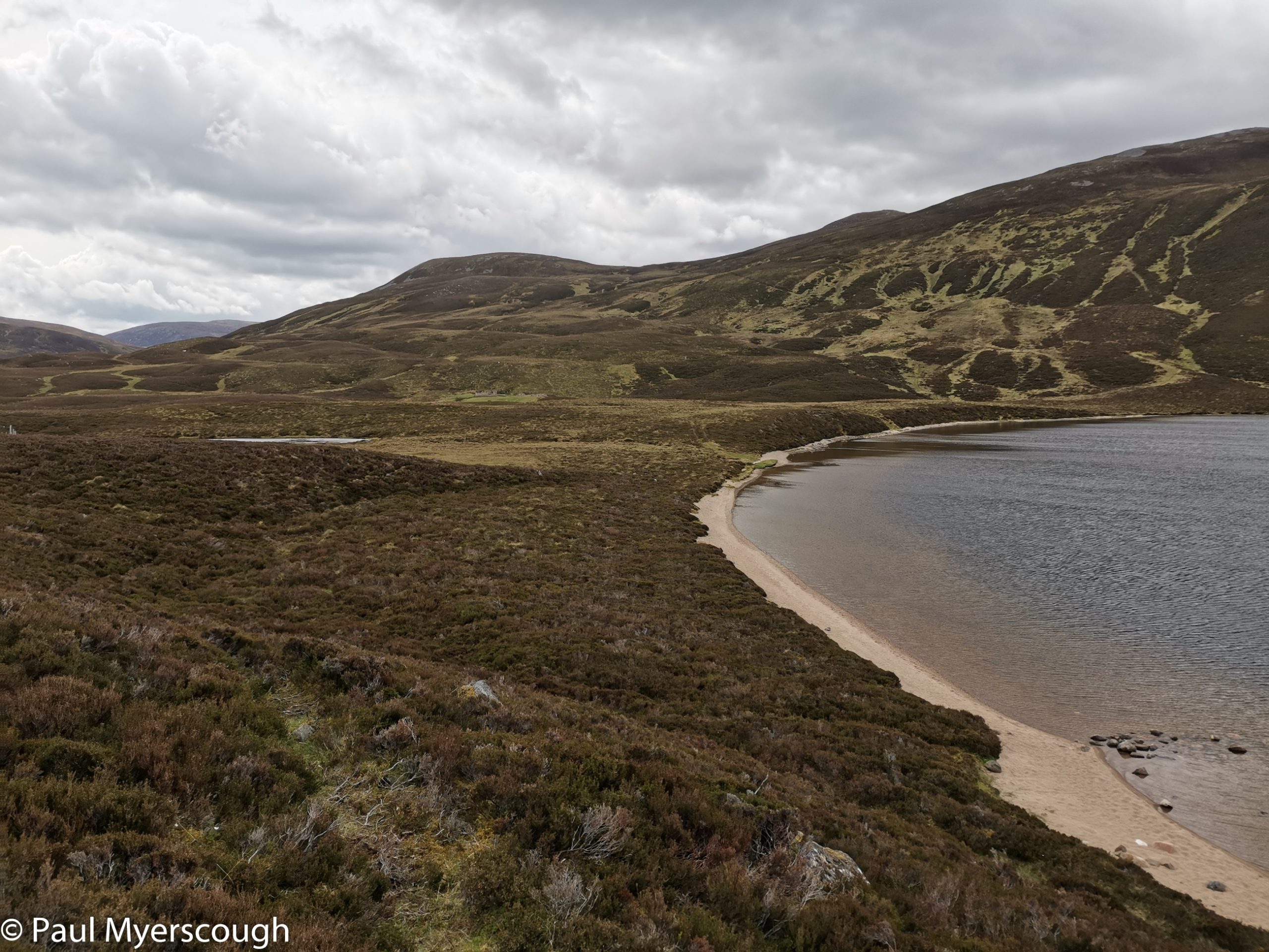
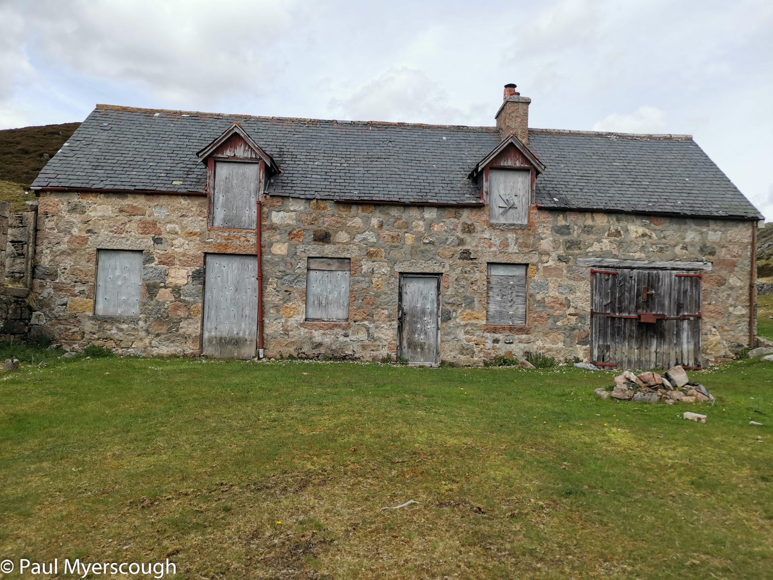
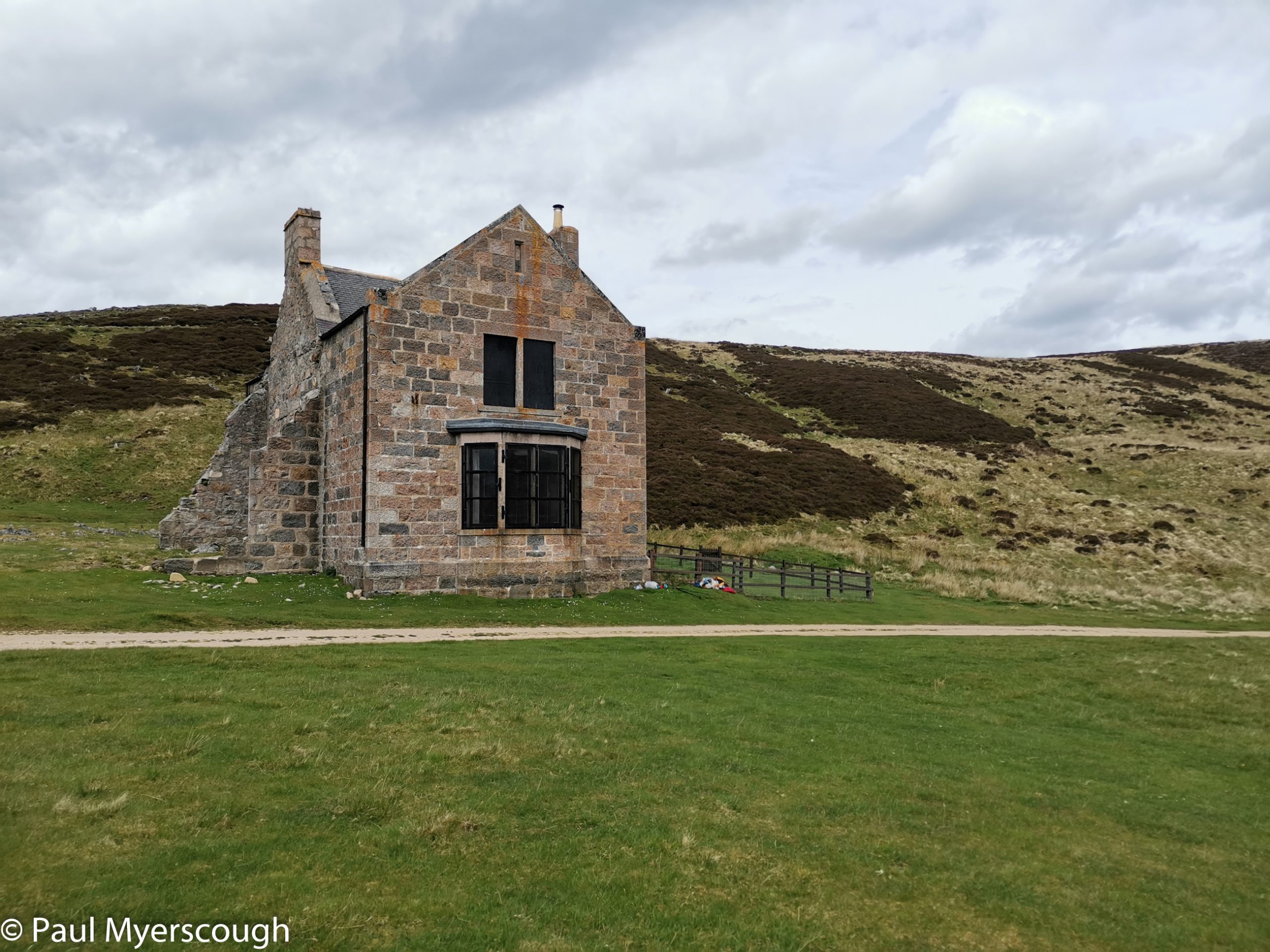
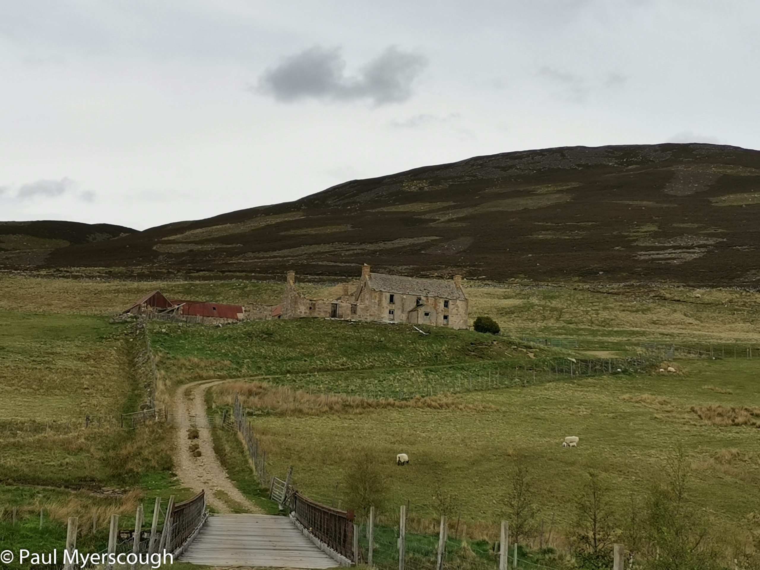
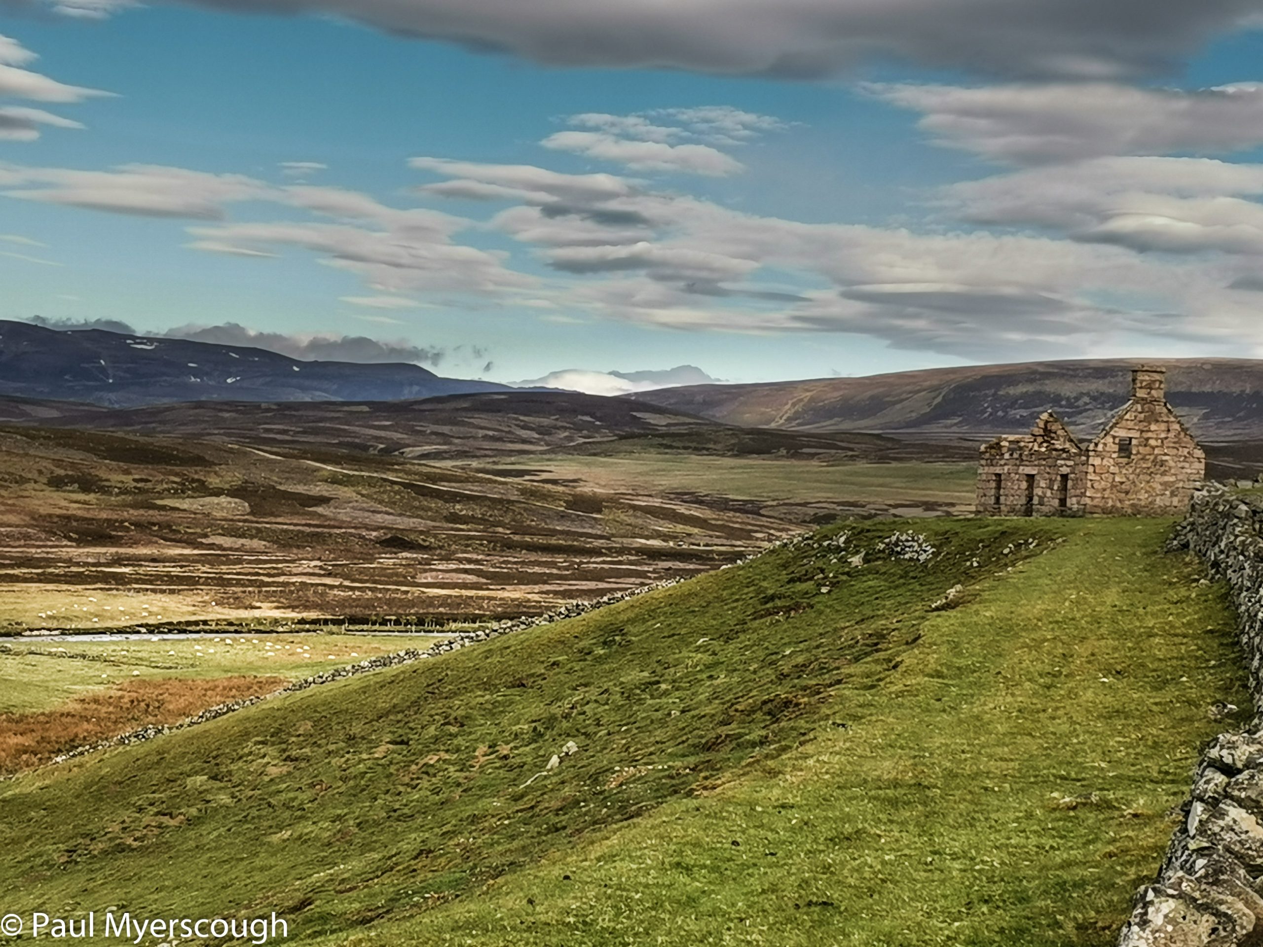
After heading south past Loch Builg, there is a sharp eastwards turn for both Ballater and Tarland which was my next major milestone. I assumed the River Gairn which we were following was the outflow from the Loch, but looking at the map now I see this is not the case. It collects the waters from the hills of the southern ‘grampians’ and delivers it eventually into the River Dee near Ballater.
Jim stopped for the night at boarded-up Corndavon Lodge. I managed a further 5 or 6 km to Tullochmacarrick, a derelict farmhouse in an attractive position overlooking the wide valley. It was noisy with sheep and birds until darkness fell, then there were three different sorts of night birds calling until the early hours. A time to reach for the earplugs!
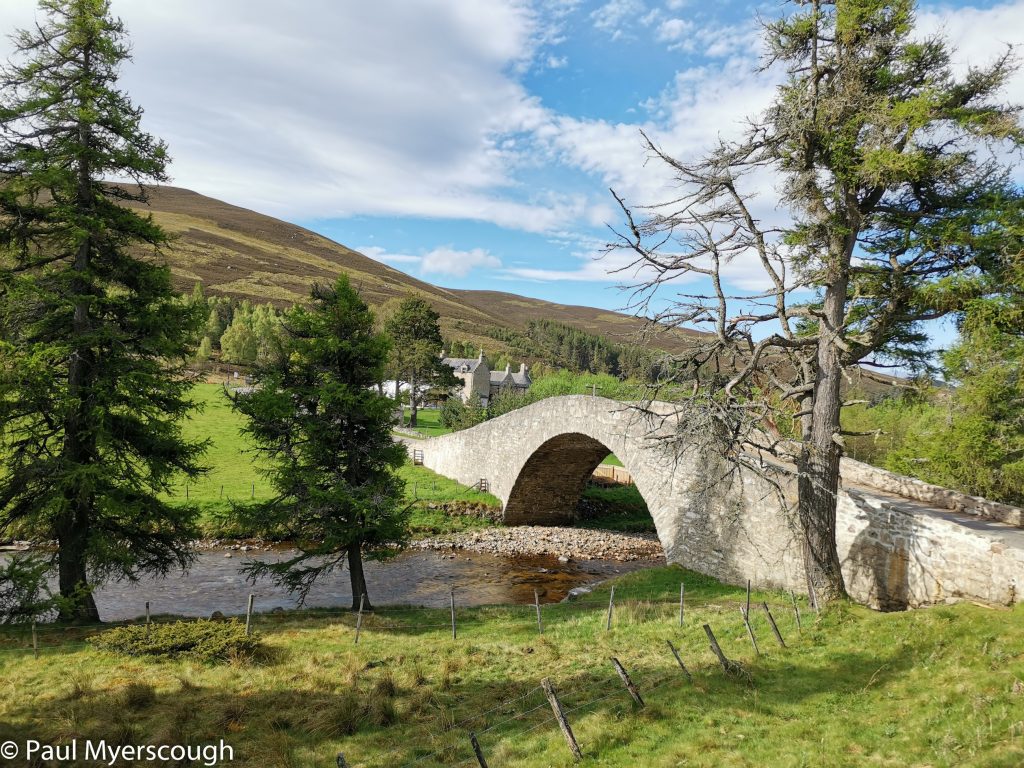
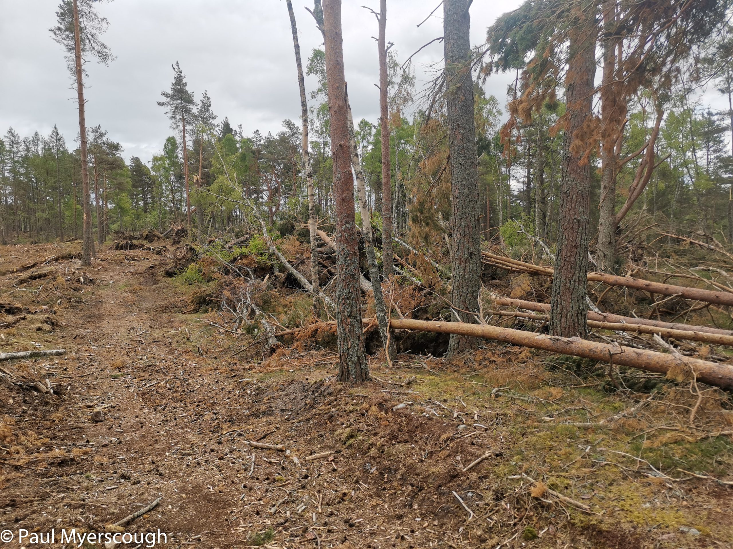
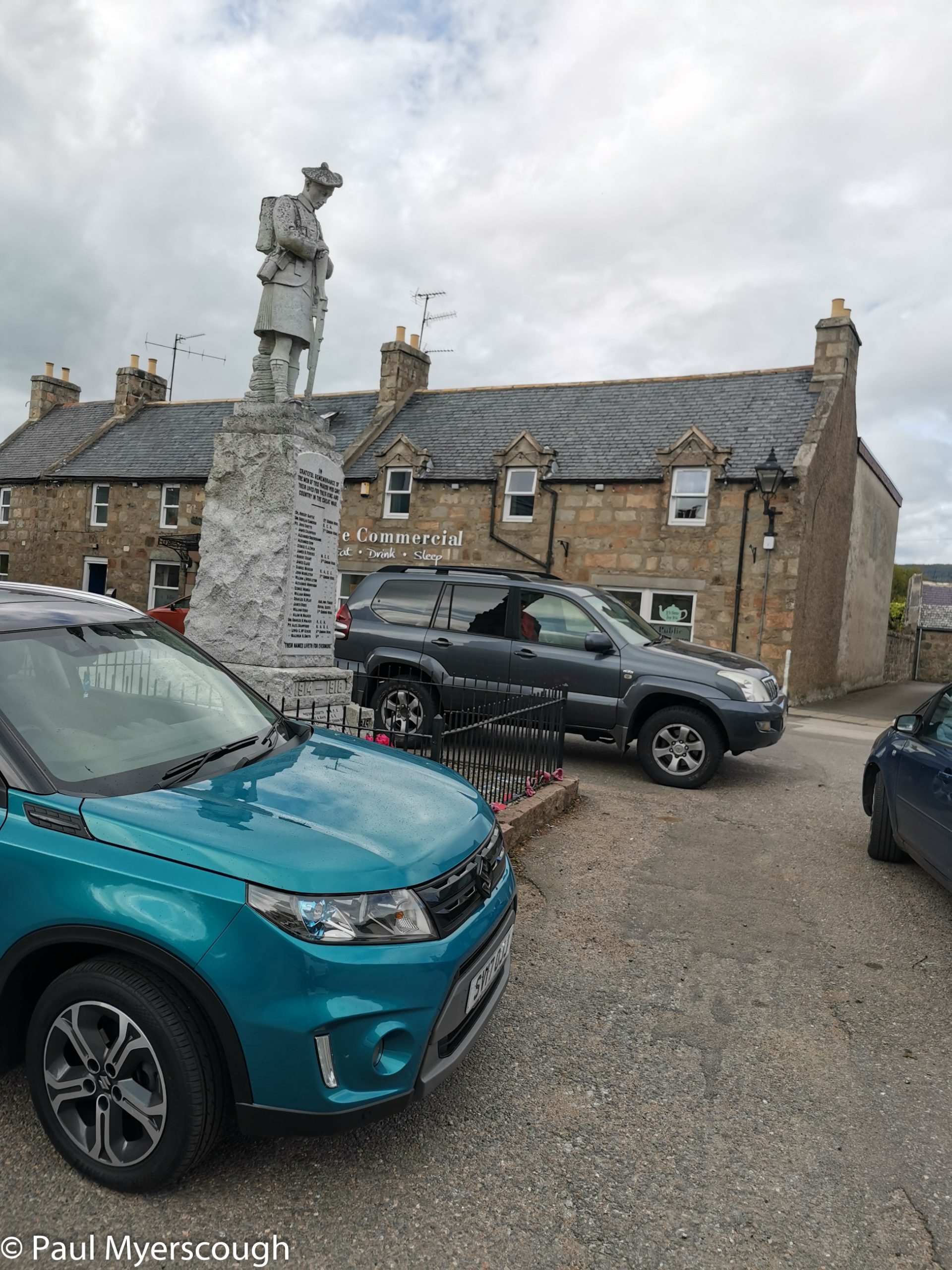
There’s another 20km or so of hill tracks before reaching the edge of the area designated ‘Cairngorms’ on the map. A call from the edge of Cullblean hill confirms a room for the night at the ‘Commercial Hotel’ in Tarland. A meal, a bath, a bed, and shop for a few goodies. That is what we need after some days in the wild and Tarland provided this.
Download file for GPSA few days earlier I had learned from Kate not to be shy about asking for help in the hotel – I asked for washing to be done and they agreed! I would usually do it myself in the bathroom but, with the heating off, there was not chance of drying clothes so this was a good move!
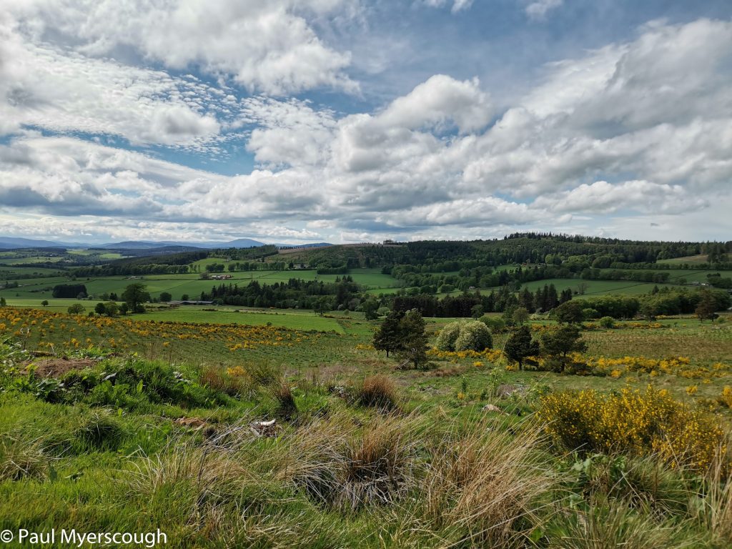
As we move further east it becomes harder to avoid extended road walking. The last hurrah is marked the ‘Hill of Fare’, an area about 8km east to west. This area of high ground looks easy on the map, but in reality it is overlaid with thick heather and tracks are more-or-less essential to make progress.
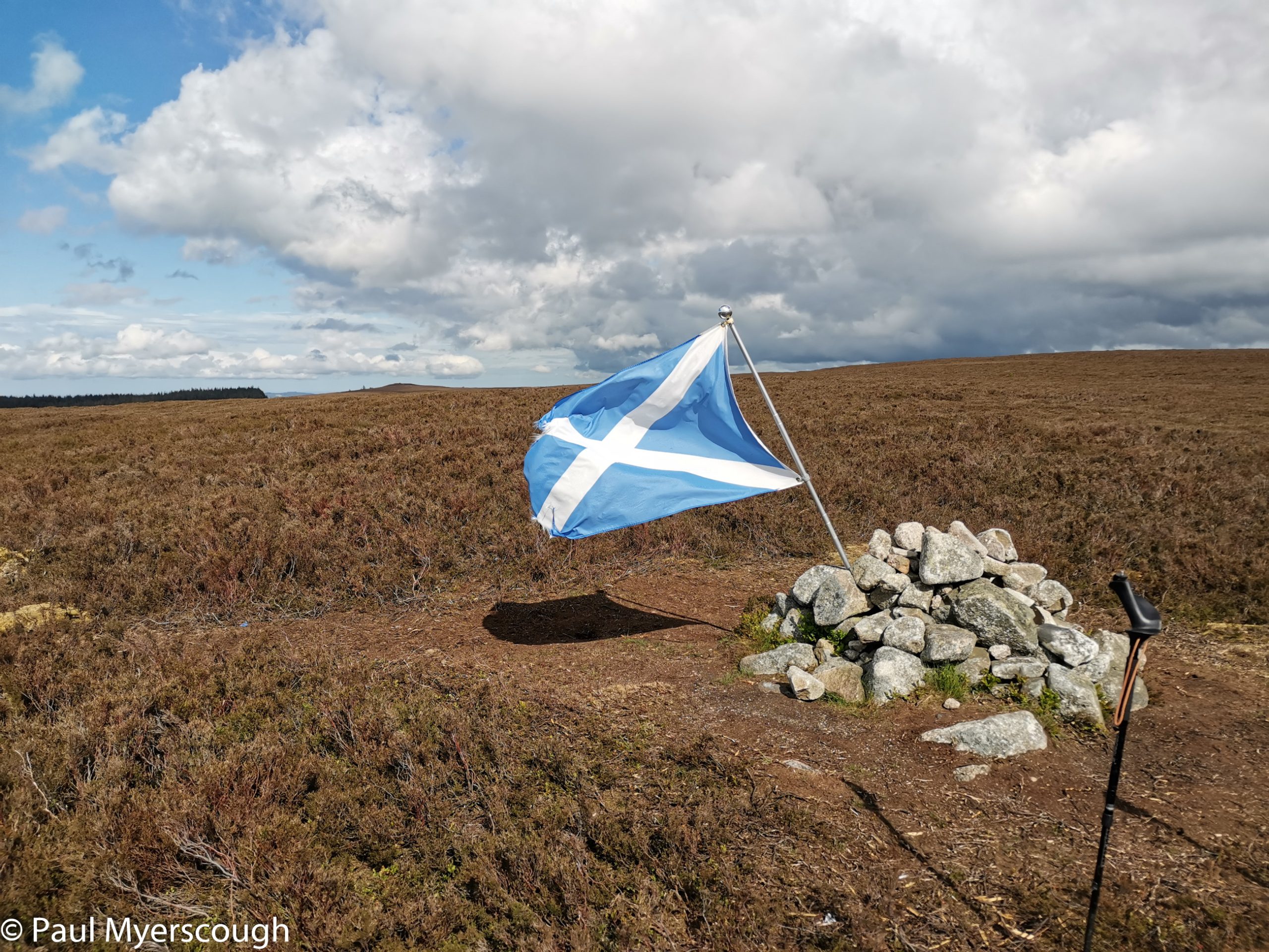
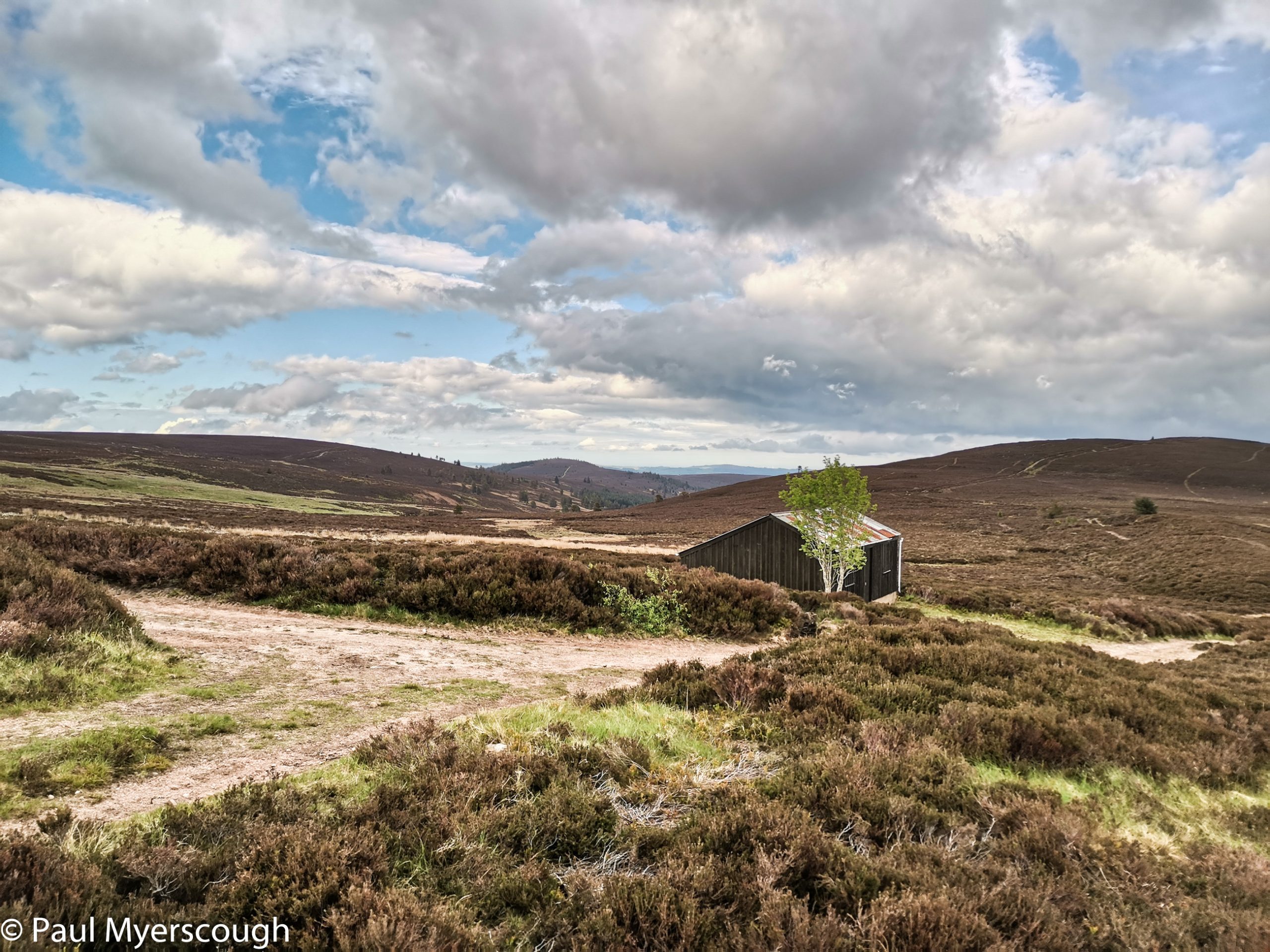
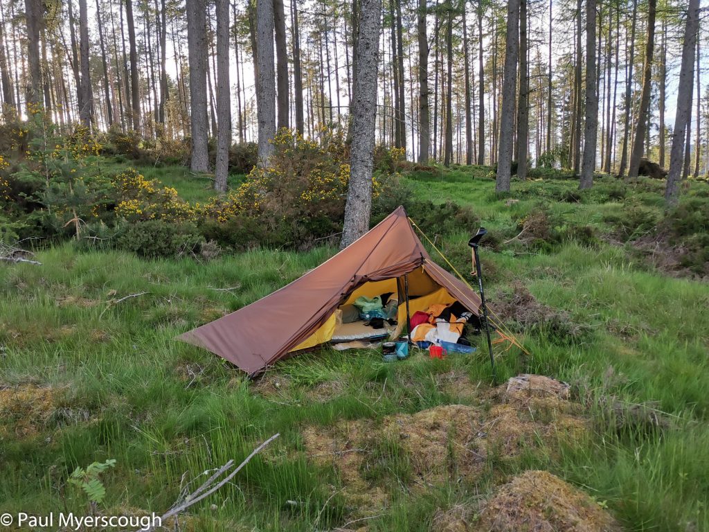
The ground in a plantation is usually rough and uneven and this was no exception. But the weather was good and with the prospect of just one more day of wallking ahead, all was fine.
Download file for GPSFrom here on it is mostly road walking, but quiet roads. The traffic was taken mostly on other routes. The country outside Aberdeen has some fine modern houses, but the suburbs of the city are grey. Infact all of Aberdeen seems to be built of grey stone.
Is this city normally so quiet? Or is it a result of Covid? There some busy-ness around a secondary school as pupils move from their games field back to the classrooms, but otherwise the suburban streets are almost deserted. The ‘centre’ is spread over a wide area and this too is strangely quiet. With nowhere booked to stay I google a Premier Inn and find my way to the one nearest the beach. Surprisingly this large building is almost full!
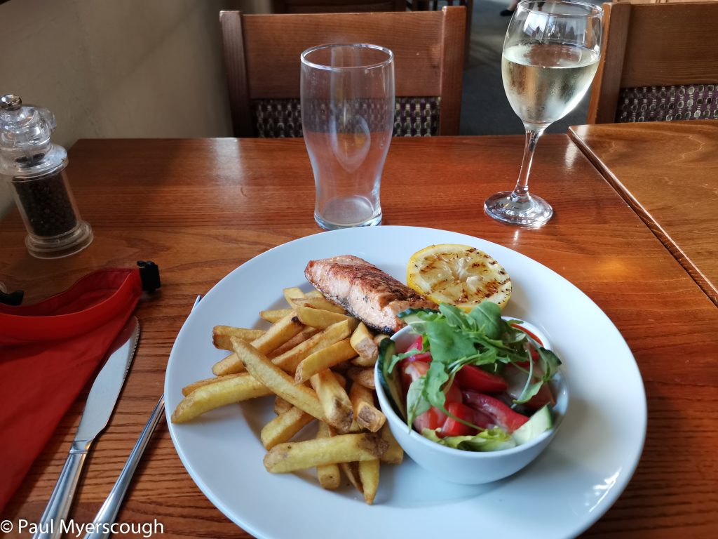
After a bit of sustenance I head on to the sea to finish the crossing.
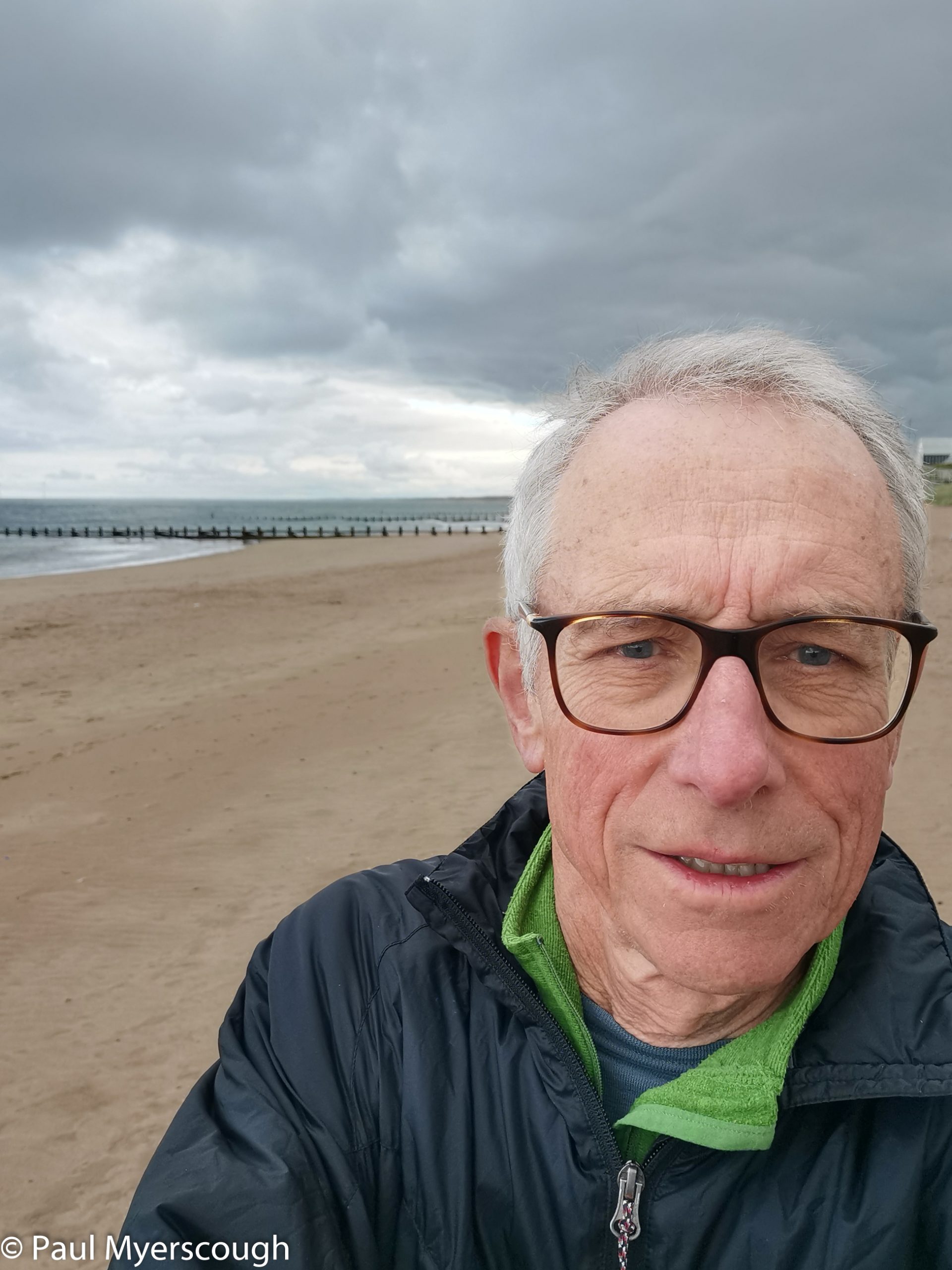
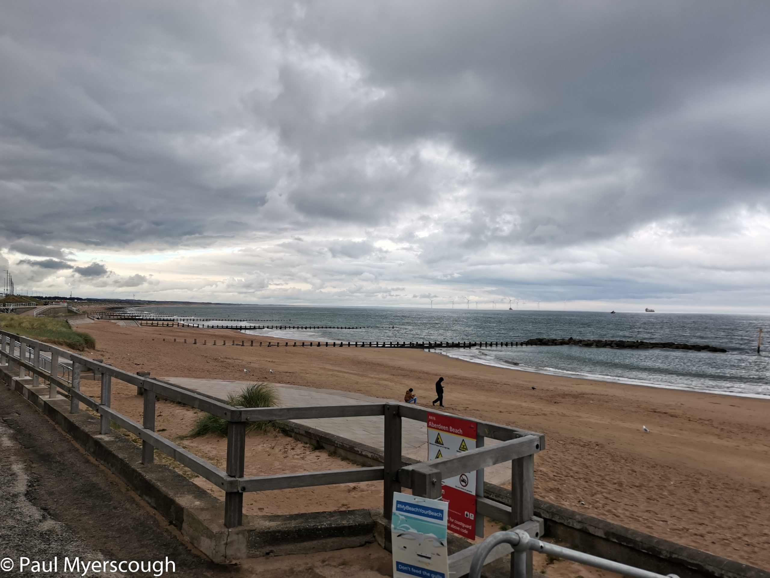
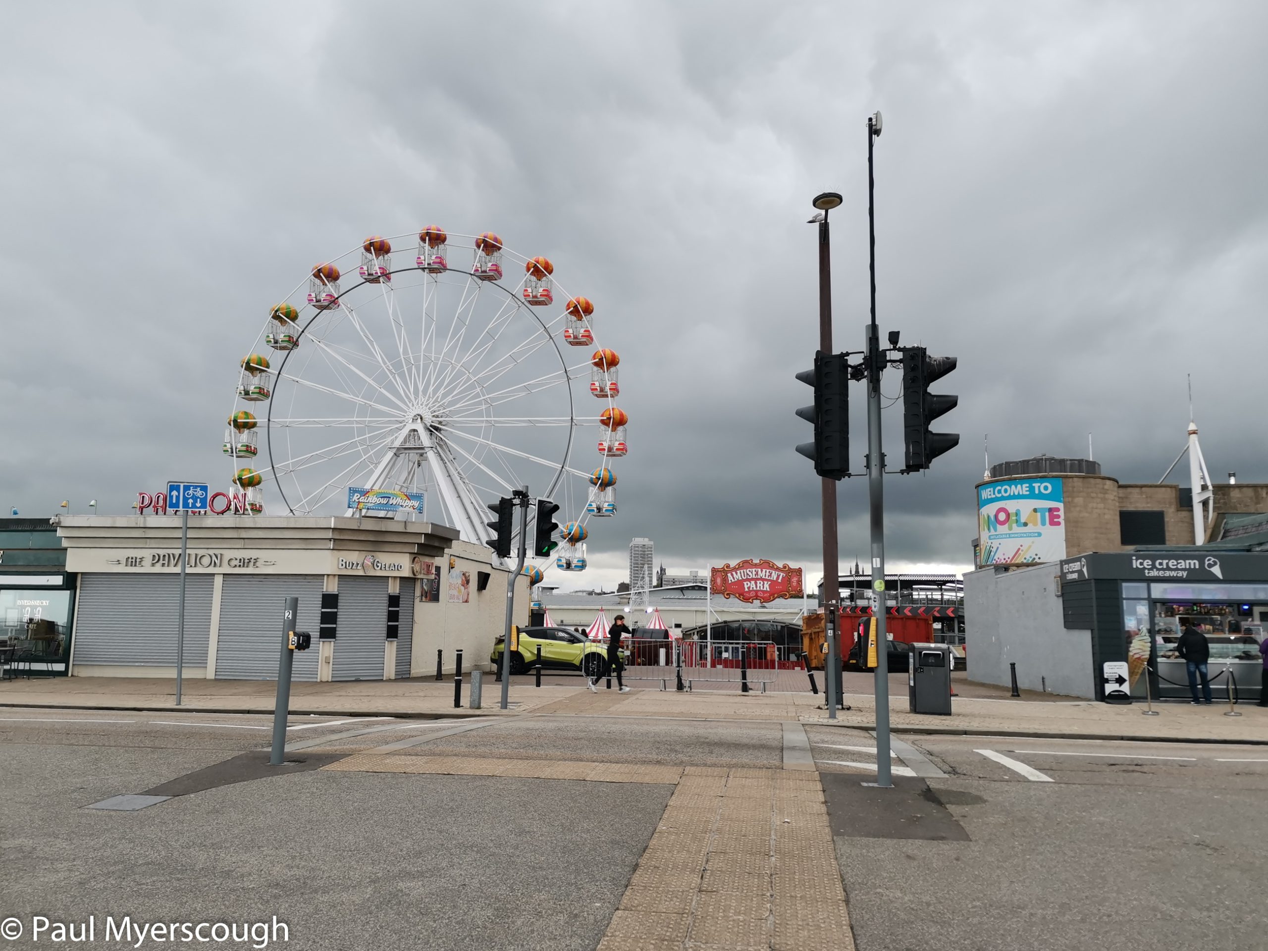
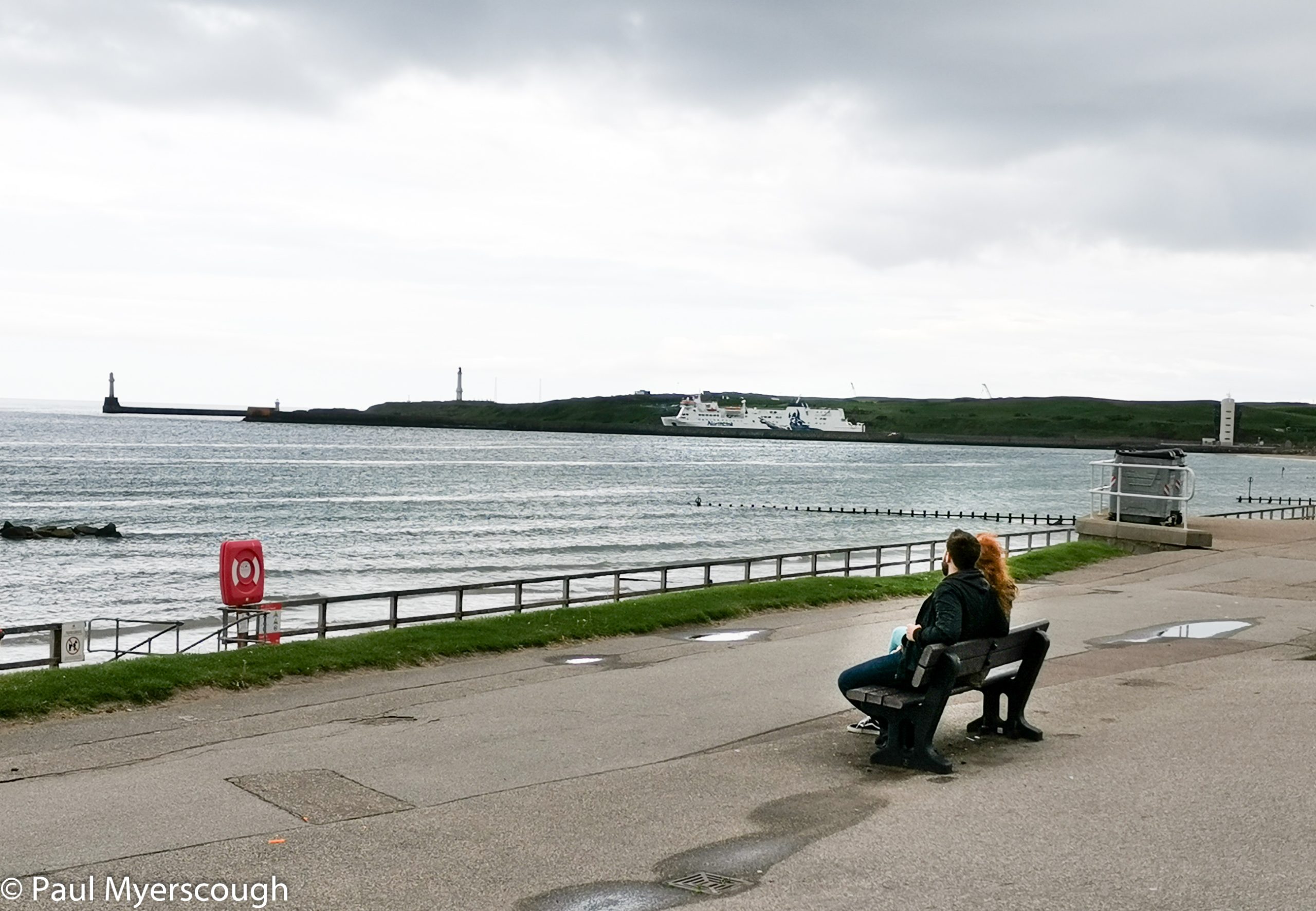
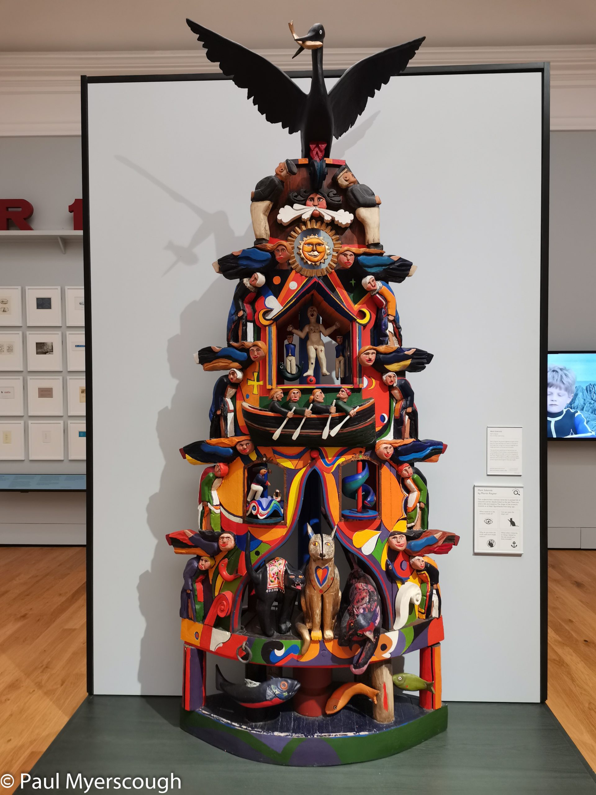
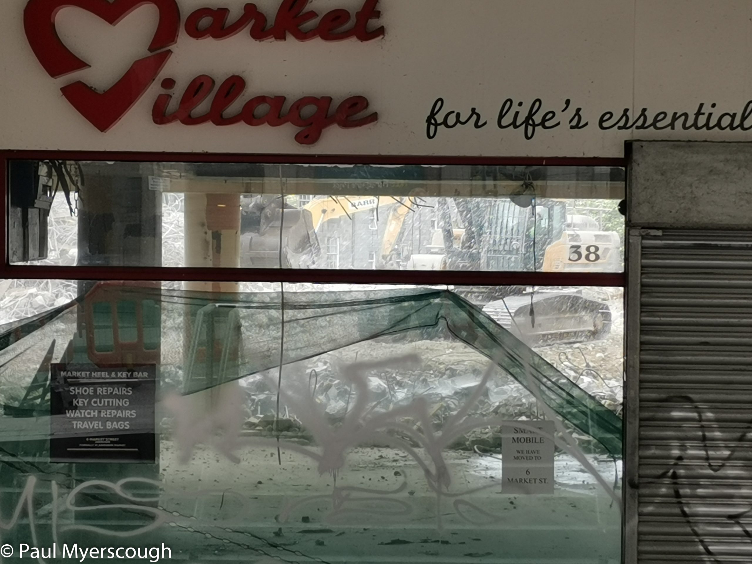
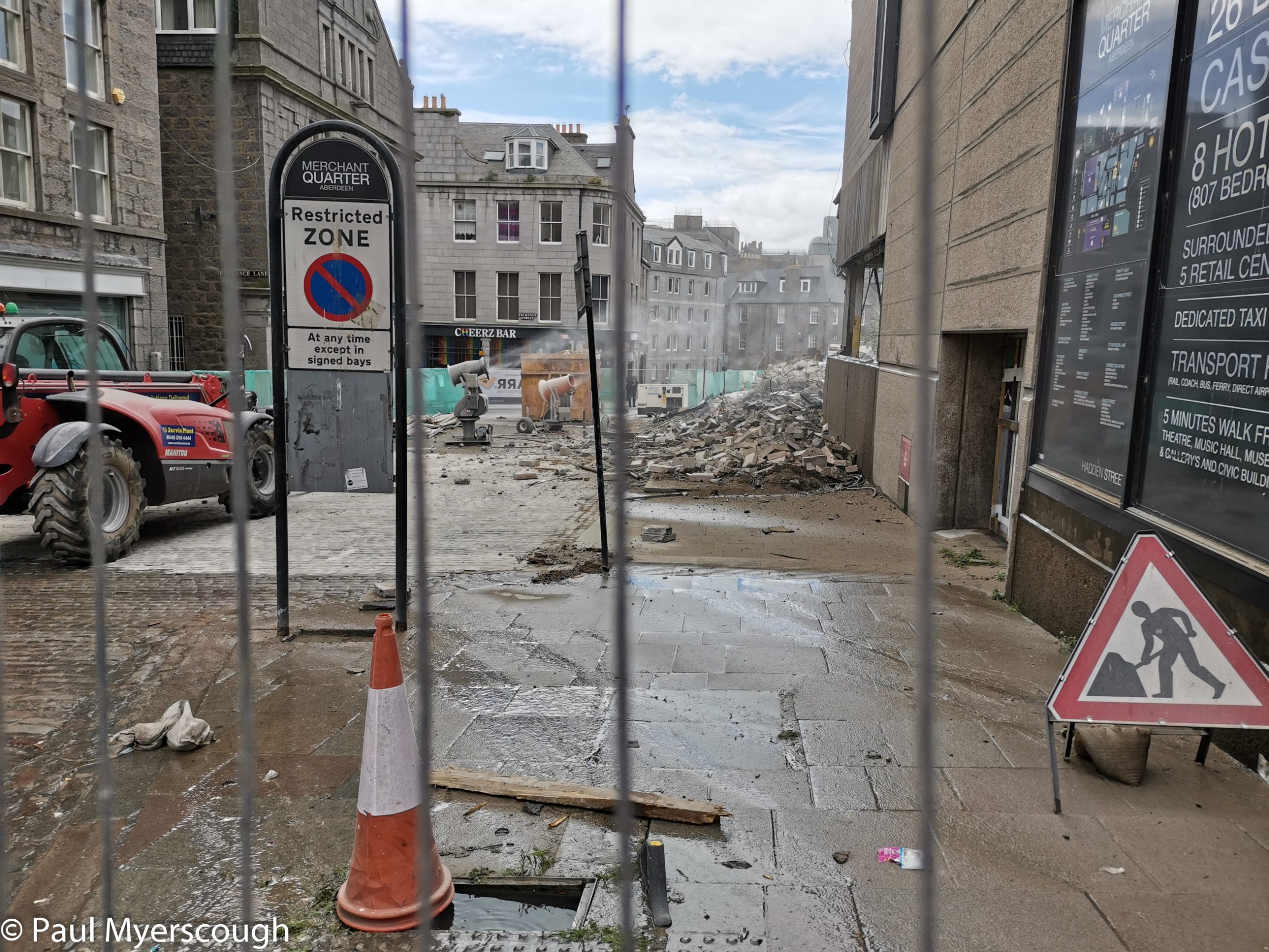
On the train to Montrose the following day a local challenger observes “Aberdeen is like Montrose, only bigger!”. I had expected a very full day seeing the sights of Scotland’s number three town, but in practice I found little to occupy myself. The art museum was arranged well, but the content limited; the oil museum provided me with some new insights into this dying UK industry, but more than 30 minutes here would be excessive.
Better time spent in Montrose swapping stories and catching up with fellow challengers!