This was to be an exciting high level route – a reward from the tribulations of boggy ground and dangerous river crossing from the day before.
My original plan – which is reflected in the map – was to camp the night somewhere near Carnach and start the day on the ridge above. Yesterday was over ambitious though and the bothy of Maol Bhuidhe was far short of here.
Download file for GPS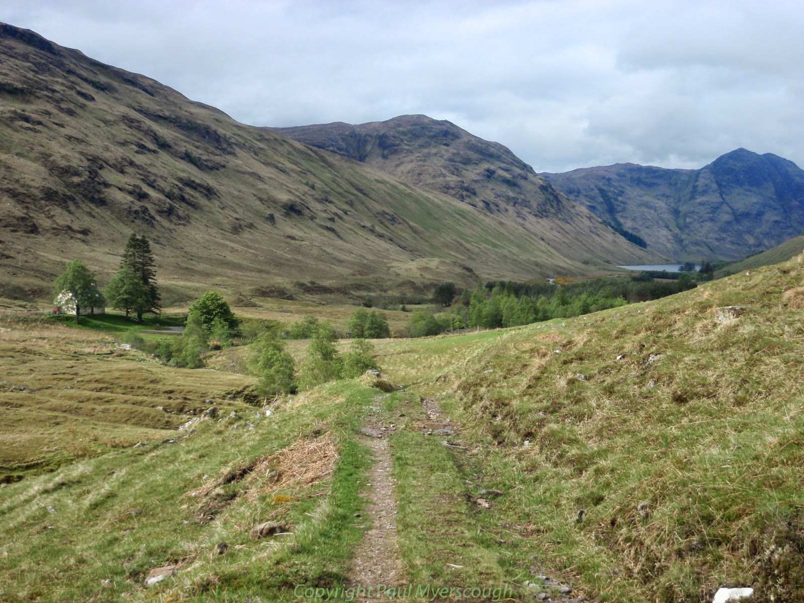
Two lads walked up from the Lodge having cycled in for to grab a couple of corbetts. Three hours had passed by the time I reached Carnach and started the upwards trajectory. This was to have a knock-on affect at the end of the day, curtailing my time on the ridge and the number of Munros bagged this day.
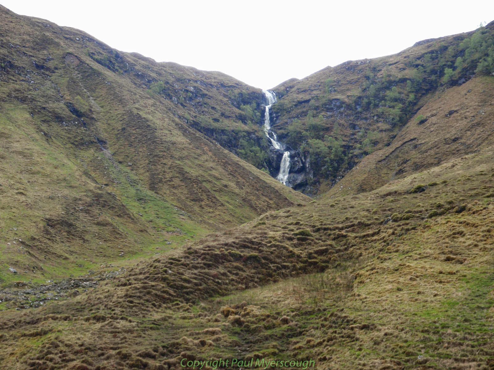
A landslip meant that the obvious route up past the waterfall was not recommended and I followed the track that headed east on the north side of a small stream. Eventually it turns and crosses the diminished stream over a bridge placed for ATV use. The track allows relatively easy negotiation of the wet boggy ground. When it levels it is necessary to strike out to the higher ground of the ridge. Beneath the wet surface of the inhospitable terrain it is possible to recognise the terracing of an old stalkers’ path which brings you up to drier ground.

Once past the first top of Creag Glas the environment suddenly becomes particularly attractive with extensive views down towards the Falls of Glomach and beyond. The ridge to West Top of Sgurr nan Ceathramhnam lies ahead with an attractive flat area in the foreground dotted with lochans and rocky features.
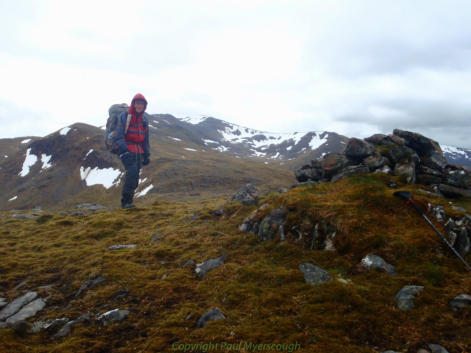
At the top of the ridge is the north side of the West Top, seemingly covered in snow. But now it is May and the snow which still clings to the north face and the shaded corries is easily negotiated by skirting around the edge. As I reach the high point of the ridge hail starts falling, obscuring the path. The ridge which upto now has been in a North-South direction now orients itself West-East in parallel to Glen Affric.
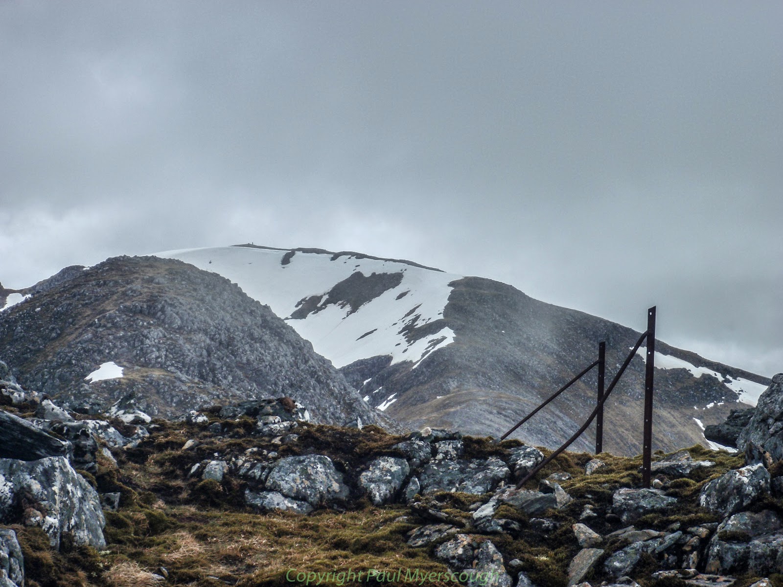
Hail and low cloud now limit visibility but on the narrow ridge there is only one way to go, and fortunately there is little or no wind to make the airy start to this path treacherous. Now it is after 16:00 and although I have only just reached the main objective of the day, I was already thinking about where I might camp for the night. On the map there is no obvious spot for a high camp, and without great visibility the ridge ahead did not look so welcoming. I resolved to take the first escape route down towards the youth hostel at Alltbeithe.
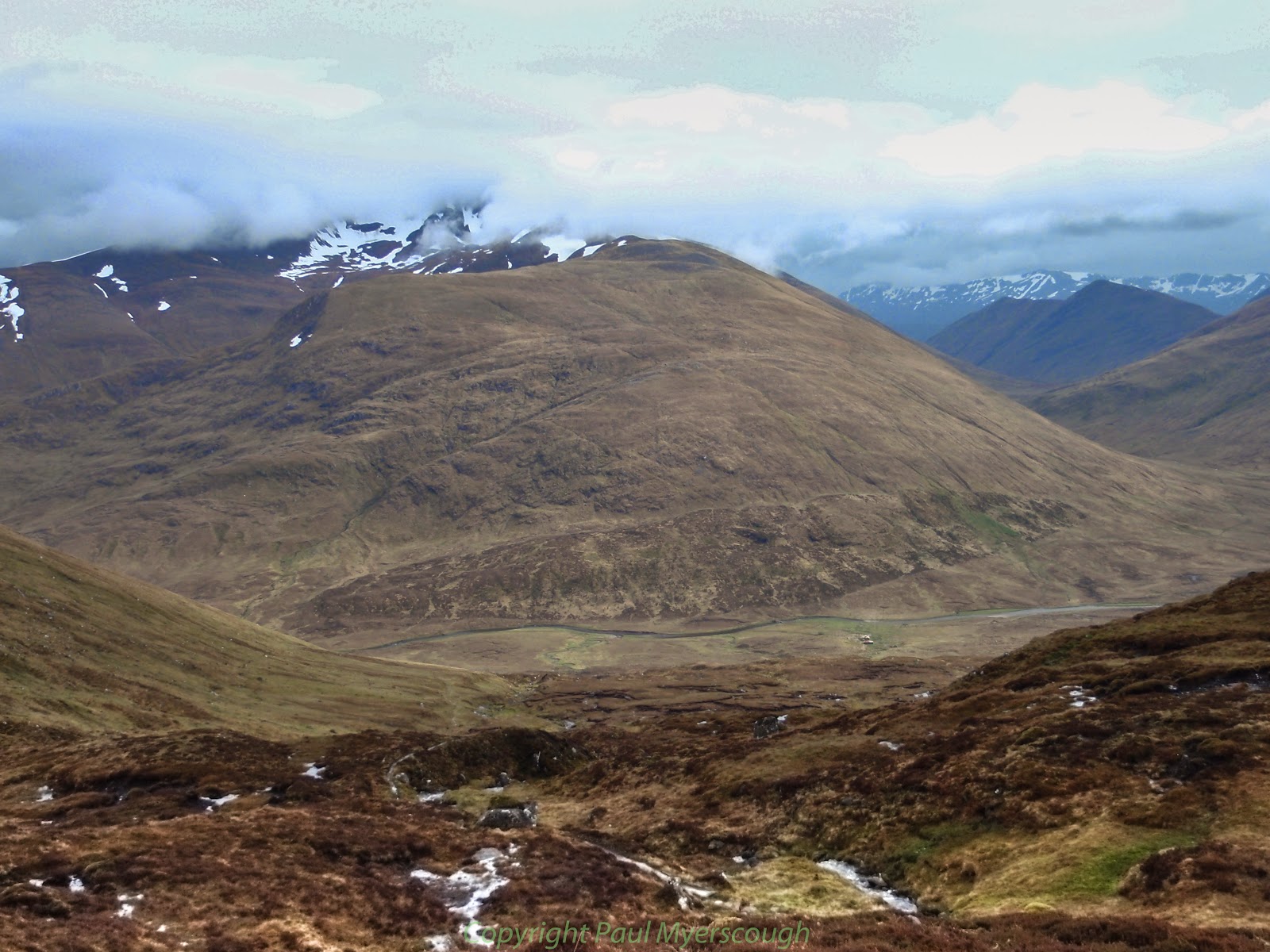
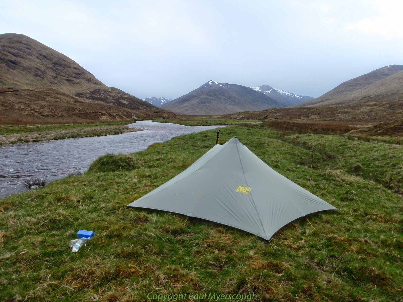
Mam Sodhail and Carn Eighe will have to wait for another time. By the time I reached the valley bottom it was after 18:00, and I was ready to pitch camp by the river.
I've been down the path along the Allt Coire Easaich (in 2007) and it was not at all pleasant – I did half of it on my backside as a lot of the path had slid away even then.
One of the most tricky half hours of my life.
That was one heck of a day, Paul, with a hailstorm chucked in for good measure.
🙂
Pingback: TGOC 2014: The TGO Challenge putting it all together - MPAULM