The route out of this area involved some pathless navigation up one valley to the plateau and then down another valley eventually to join a track about 10km away.
In theory this sort of navigation should be relatively easy driven by the direction of the valleys. In practice, on the ground, it is not so straight forward especially when visibility is limited. I’ve noticed an illusion effect several times on this trip where I’ve thought I was travelling uphill when in fact the stream beside me was going down!
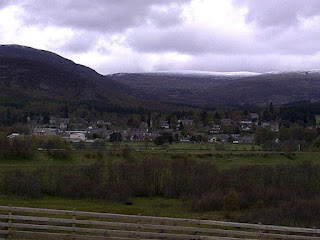
Several hours of tramping through snow brought me to the system of track on the South side of the Monaliadth and by 2pm I had moved from the stark winter of the high ground to the bright spring of Kingussie golf course.
Time to give myself and my sore feet a break!
Sent from my mobile

Pingback: 2012 TGOC day 7 - MPAULM